Mount Tod – Table of Contents
- Hike Introduction
- Hike Statistics
- Mount Tod Video
- Map and Elevation
- Hiking Route Description
- Directions and Parking
- Free PDF Download
- 360° Photosphere
Mount Tod Hike Intro
Mount Tod (sometimes called Tod Mountain) is a moderately-challenging day hike at Sun Peaks Resort, near Kamloops.
There are 18 different trails to hike at Sun Peaks, but Mount Tod is among the most popular of them (and one of the more difficult). Of the three mountains that make up Sun Peaks Resort, Mount Tod is the highest at 2,152 m.
One of the highlights of hiking at Sun Peaks is the incredible wildflowers. If you want to see the wildflowers, they usually hit their peak in late July or early August. You can time your trip with Sun Peaks’ annual Alpine Blossom Festival.
One of the few drawbacks to this hike is the bugs, particularly at the top of Mount Tod, can be relentless during the mid-summer.
We describe a specific looping route below which gives you a good taste of the mid-mountain trails at Sun Peaks. The route takes you on a detour to the Juniper Ridge Loop, up to the summit of Mount Tod, and to Tod Lake. The Juniper Ridge Loop is one of the most impressive spots for wildflowers on the mountain.
Please note: You will need to purchase a lift ticket to access the mid-mountain hiking trails at Sun Peaks, including Tod Mountain. They can be purchased in the village or online in advance.
Mount Tod Hike Stats
Rating: Moderate
Distance: 11 km
Net Elevation Change*: 302 m
Highest Point: 2,155 m
Time Needed: 4 Hours
Type: Loop
Season: June – September
Dogs Allowed: No
Est. Driving Time from Vancouver: 5 Hours
Trailhead Coordinates: 50.900015, -119.910328
*For a better understanding of the stats and difficulty rating, check out the Hiking Guides page for details. Always carry The Essentials and fill out a trip plan.
Mount Tod Video
Here is a 2-minute video of our experience on this hike!
Mount Tod Hike Map and Elevation
Mount Tod
Profile
Mount Tod Hiking Route
To begin the hike, you need a lift ticket from the Sun Peaks ticket centre. Grab a trail map at the ticket centre as it will come in handy. The route we’ll be taking follows trails 2-5-6-5-10-7-11-9.
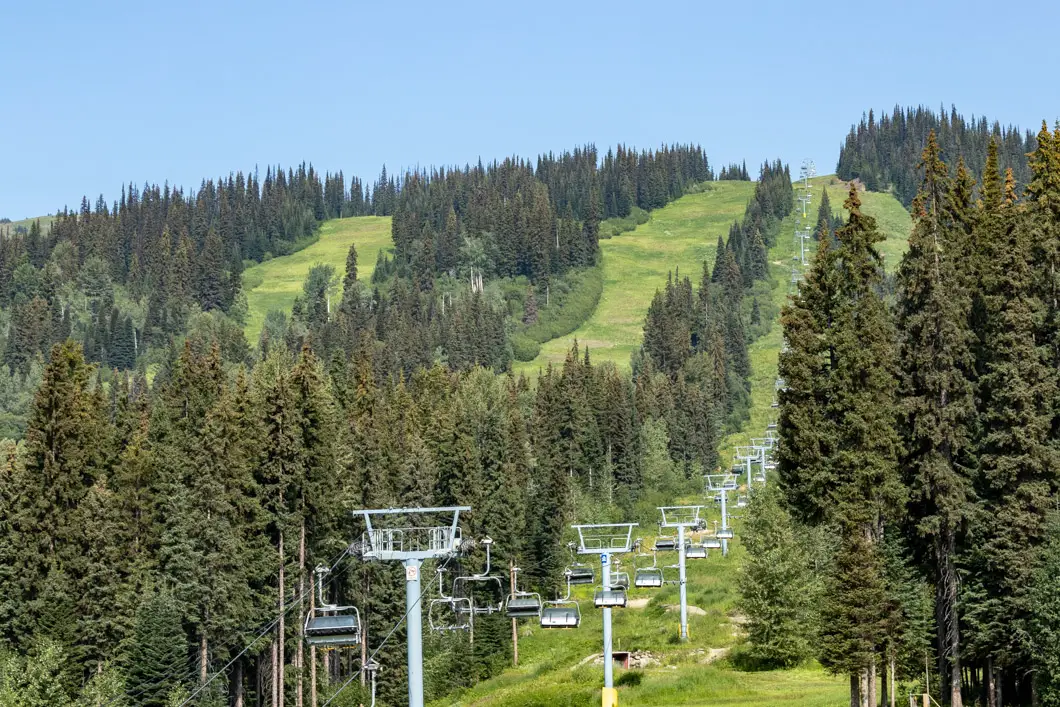
The hike to Tod Mountain starts at the top of the Sunburst Express chairlift. Enjoy the ride up, watching for mountain bikers and wildlife below. At the top of the chairlift, you will arrive at mid-mountain, at an elevation of 1,850 m.
When you get off the chairlift, the Sunburst Lodge is located down to your left. There are bathrooms and a cafeteria in the lodge which may be open.
There are several routes you can take to reach the top of Mount Tod. We’ll be taking a scenic loop that passes by scenic ridges and passes Tod Lake on the return.
The trail we’ll be starting on is marked Trail #2 (by first starting briefly on Trail #1). It starts up on the small hill by a shed.
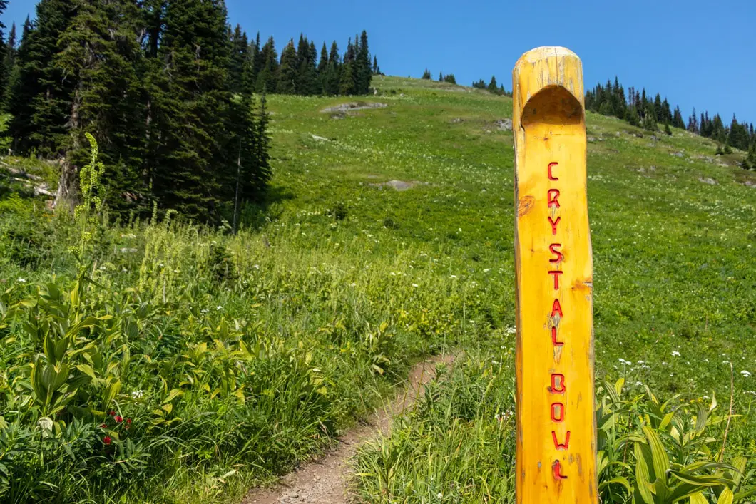
Following the marker for Trail #1, you’ll quickly come to a junction with a multi-use trail, which is marked for trails #2 and #5. Follow Trail #2 which is the Crystal Bowl Loop. The trail is narrow singletrack, with shrubs on either side of the trail. There’s a quick switchback and the trail begins climbing uphill right away.
The trail will climb up a steep but short hill before continuing at a more gradual grade. Ahead of you, you’ll see another chairlift. This is the Crystal Chairlift.
You will pass underneath the chairlift, and to your left you’ll have a view of the village and golf course below. You will then come to a junction. Trail #2 carries on straight, but you will go right on the path marked for trails #5 (Top of the World) and #6 (Juniper Ridge Loop).
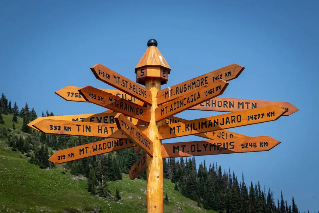
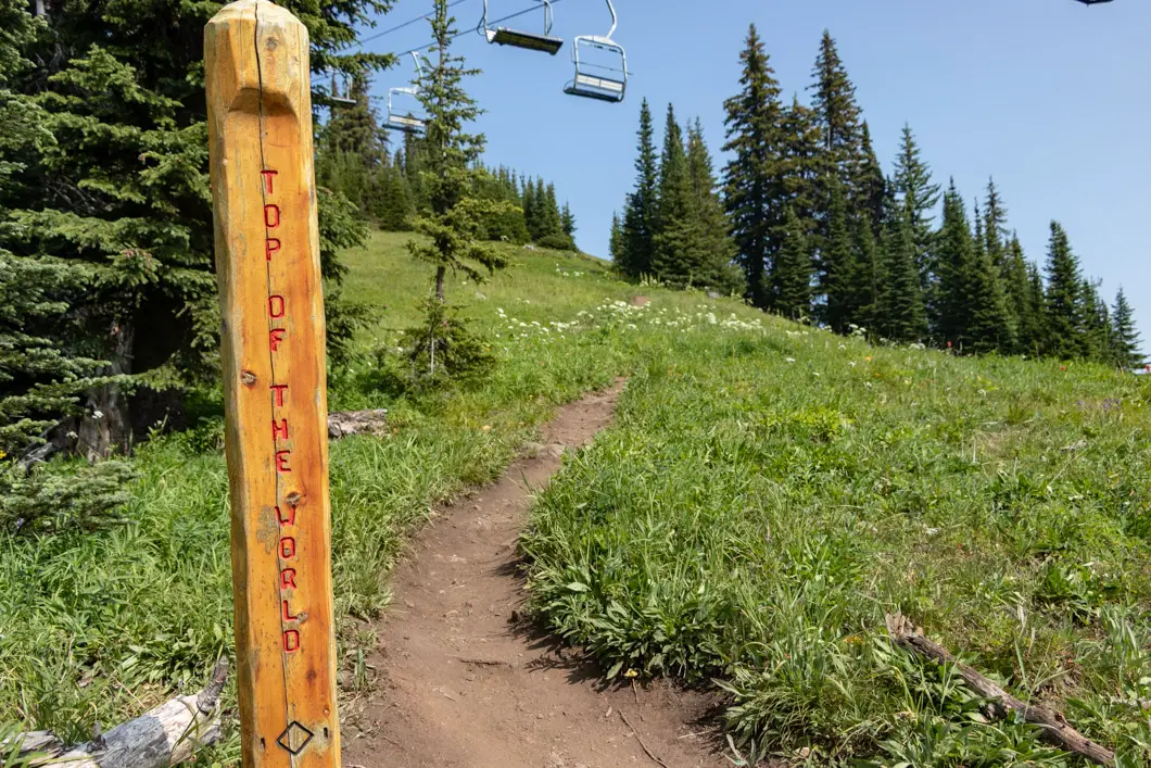
The trail then carries up and crosses back underneath the chairlift where there’s a sign marked for ‘Top of the World’ trail.
After about 10 minutes of climbing, the trail levels out a bit and crosses back underneath the Crystal Chairlift once more.
The trail cuts back up and heads towards the top of the chairlift. This is roughly 30 minutes into the hike.
You will come to a road marked for Trail #6 and the Juniper Ridge Loop detour to the left. Trail #5 goes right. Go left, and do the Juniper Ridge Loop detour. The detour takes about 30 minutes to complete but is well worth it.
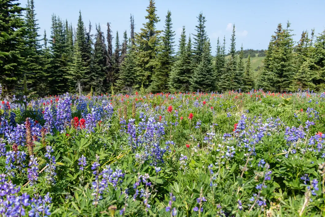
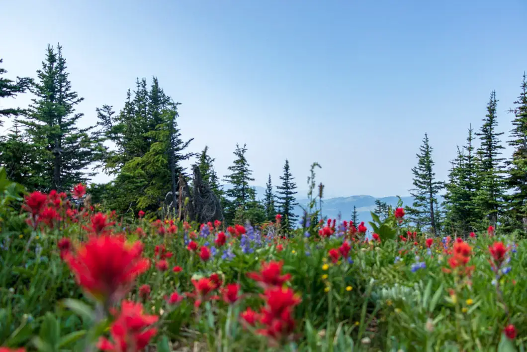
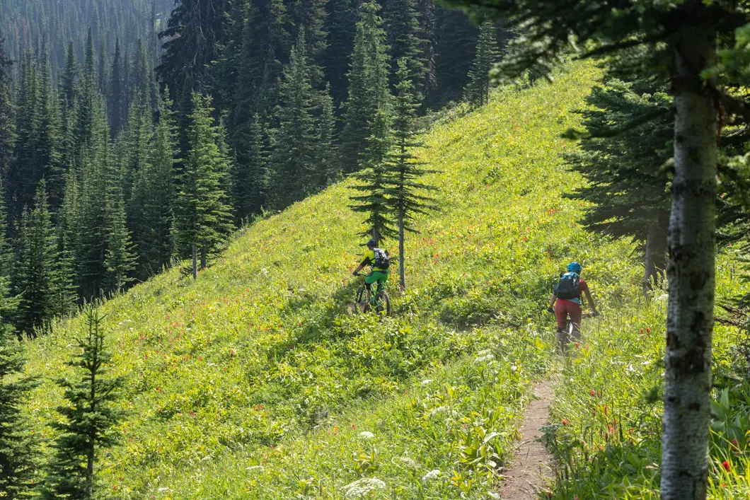
The wildflowers are incredible all over the mountain, but the Juniper Ridge Loop is exceptional. Along the ridge, you’ll also pass by the top of the Burfield Chairlift and the ‘Top of the World’ lookout at an elevation 2,080 m.
When you reach the summit area, the trail continues to loop around the point. There will be tons of wildflowers (if your timing is right) and amazing views of the Sun Peaks village and surrounding mountains.
Complete the partial-loop and walk back down to the previous junction and find the Trail #5 marker. Head left to carry back along the Top of the World Trail. By this point, you will have covered roughly 3 km in 1 hour.


Soon you’ll reach a junction where Trail #8 goes down to your left. Go straight on Trail #10 (West Ridge Trail).
The trail soon comes to a sign for one of the black-diamond winter ski runs. Here the trail hooks to the left and drops in elevation. The trail continues on a dirt road for a short while.
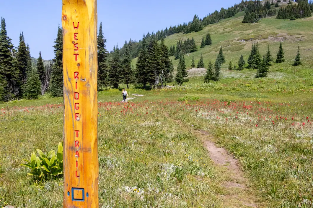
You will come to a junction where the trail departs from the road again. There is a sign here for West Ridge Trail and a #10 marker. Go right, onto the trail and you’ll come to a path that winds through a meadow. It is an especially scenic stretch of the hike with amazing, expansive views. There is a forested area south of you with Mount Tod up ahead.
Keep following the West Ridge Trail through the meadow and eventually, the trail will enter the trees and start to decline. Next, you’ll come to a junction for trails #11 and #7. Take a right onto Trail #7 (West Bowl Trail).
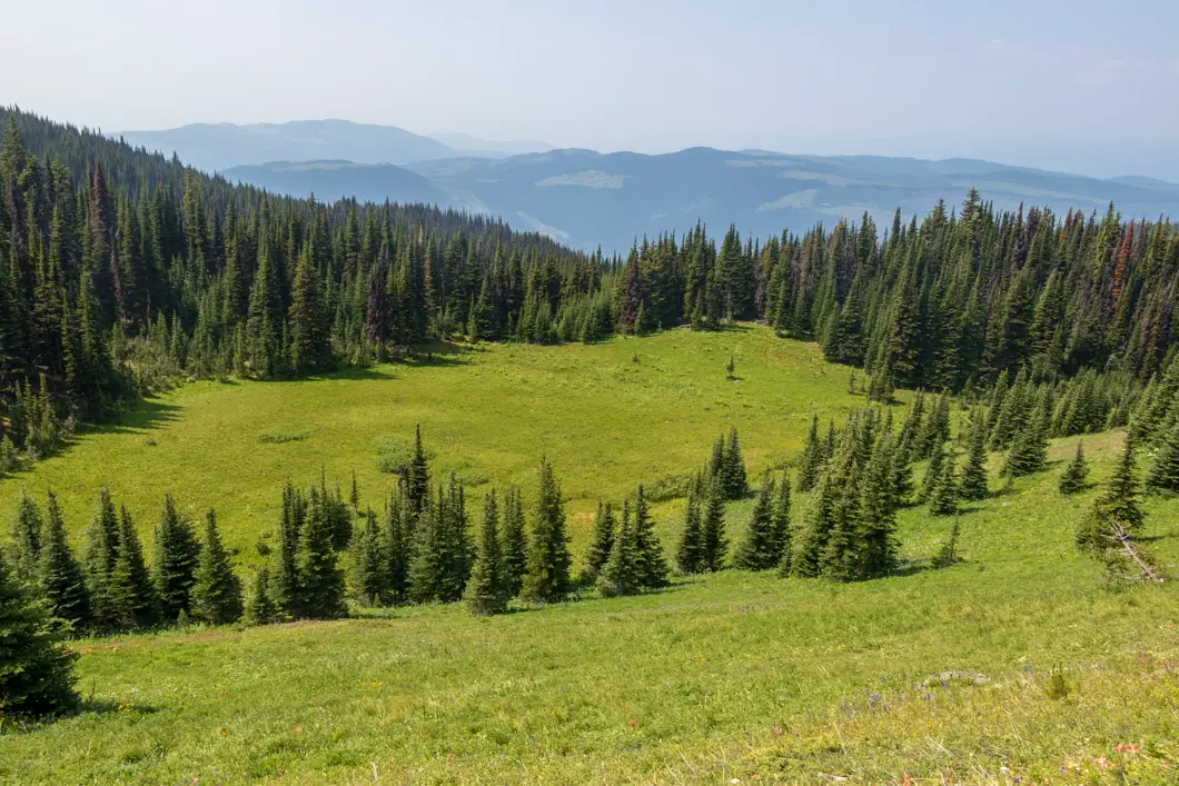
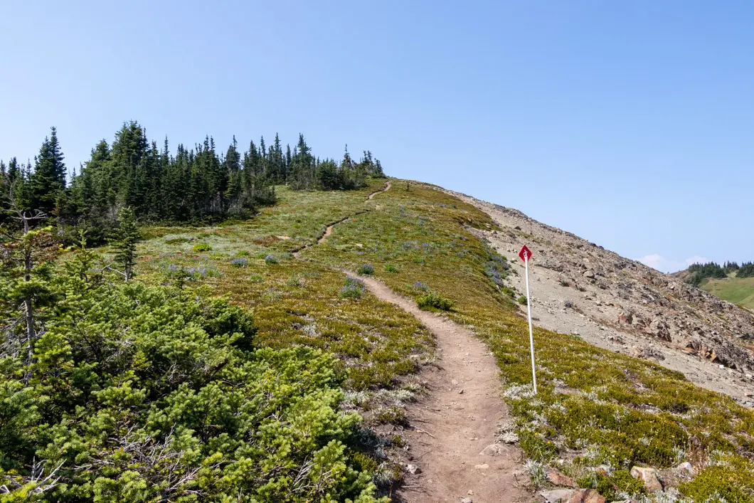
You’ll immediately see a junction for Trail #12 (Tod’s Backside Trail) to your left. You can go that way around the back of Mount Tod if you want to, but we’ll stay on Trail #7 to the right.
After about 5 minutes, you’ll come to a small pond and then a junction for the Tod Mountain Summit Trail (#11). Take a left and get ready for a workout. The next part is the steepest part of the entire hike. It is 1.4 km from this junction to reach the summit.
You’ll climb up for about ten minutes and come to a junction with trail #11 marked to your left. Go left, up towards the summit of Mount Tod. There are about fifteen more minutes of climbing before reaching the summit.
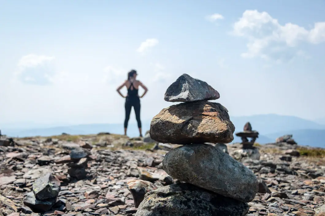
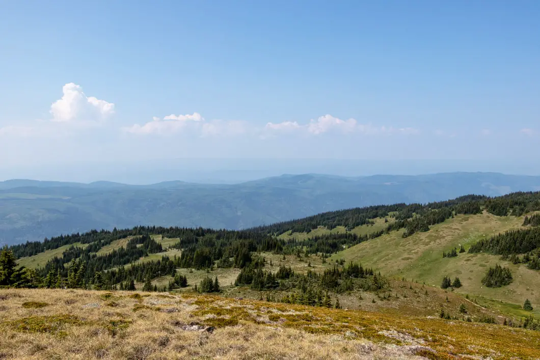
Once you reach the summit, there are amazing views in all directions. There is a cairn and a big wooden stake at the summit marking the elevation at 2,152 m.
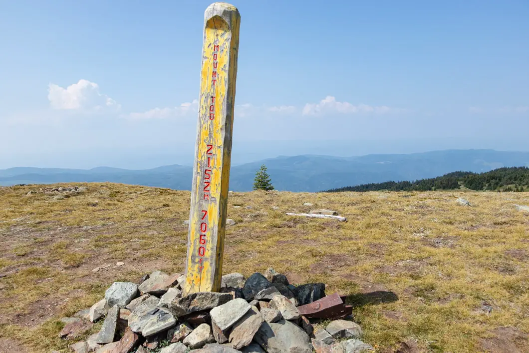
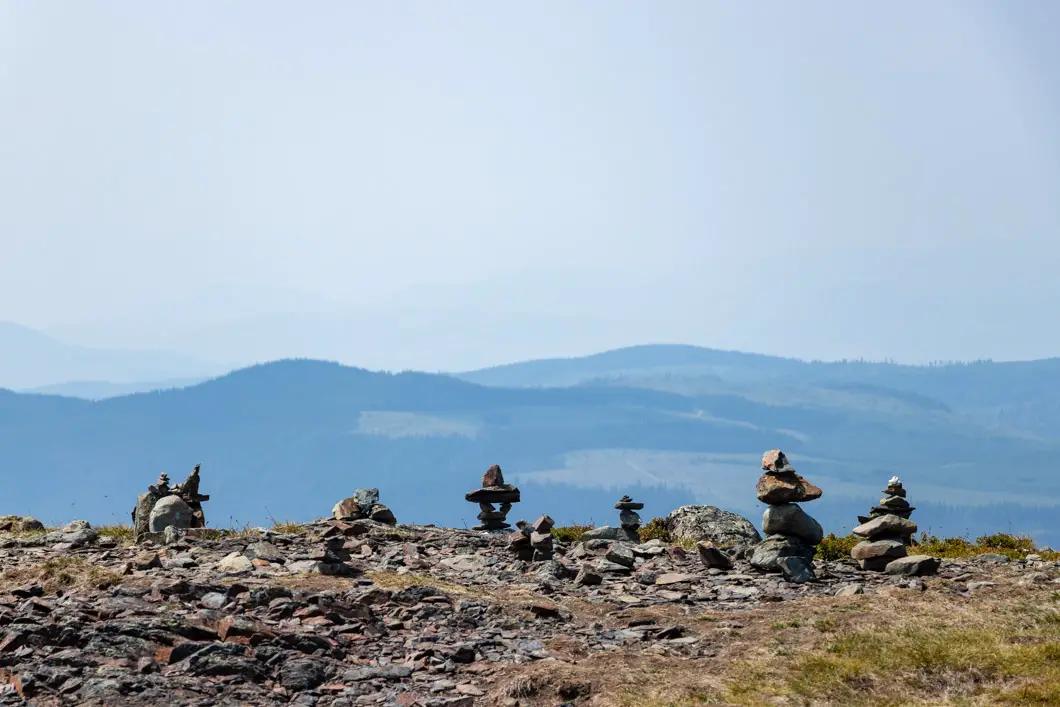
Cool fact: “The mountain is named for John Tod, one of the most prominent of the fur traders assigned to the New Caledonia fur district. He first joined the Hudson’s Bay Company in 1813. His retirement home in Victoria, on which he began construction in 1850, is the oldest inhabited house in British Columbia. [Source]
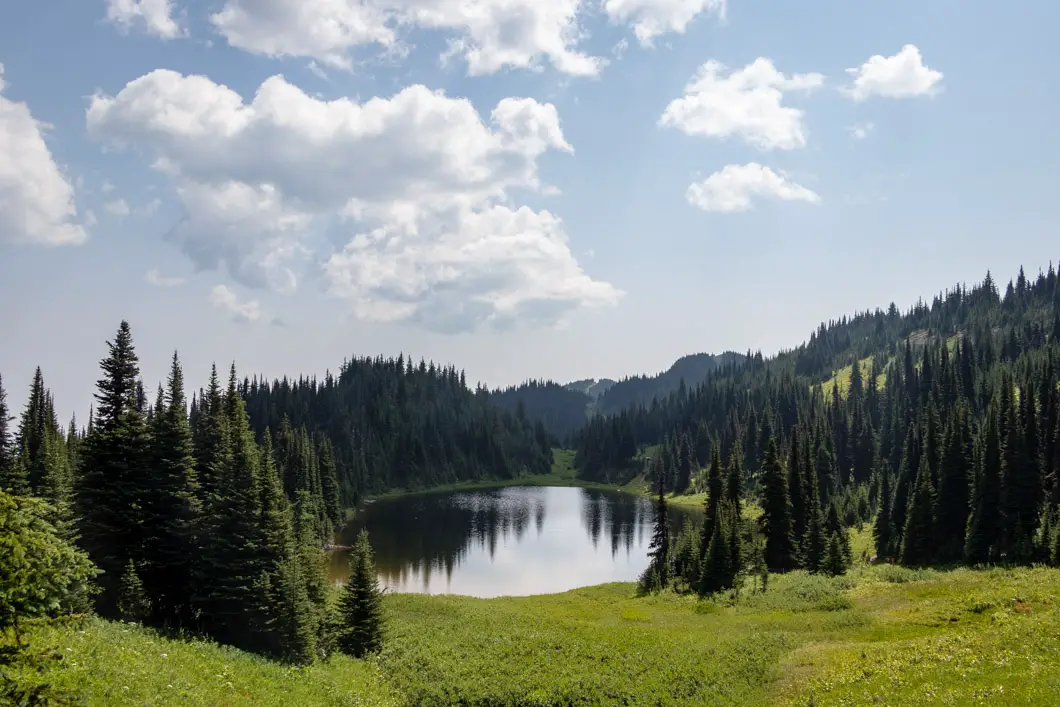
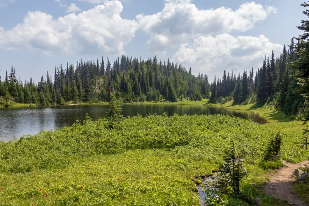
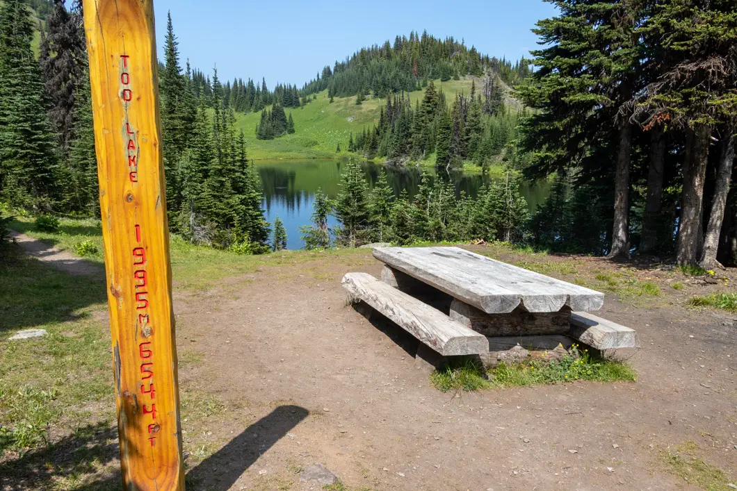
When ready, return and head back down to the previous junction. This time, head left towards Tod Lake. You will come to a junction with Trail #12 to your left and Trail #11 to your right. Go right, and drop down the hill. Follow the winding path and you’ll see Tod Lake ahead of you. Follow the path to the far side of the lake where you’ll find a picnic table. You can stop here, take a break, and go for a dip in the small lake.
Tod Lake sits at an elevation of 1,995 m. This is roughly 8 km into the hike.
Moving on from Tod Lake, the narrow trail provides some views into the valley down below. The trail slowly moves downhill, with a few small wooden footbridges to cross over. The trail here is more forested than before. As you carry along, you’ll see Trail #9 (Gil’s Trail) markers every so often. You will follow Gil’s Trail all the way back to the Sunburst Chairlift at mid-mountain.
You’ll come out of the trees and onto a gravel road. Follow the road up, but only very briefly and you’ll see the #9 marker and where the trail carries back into the trees on the other side of the road.
The trail continues to drop for another 15 minutes, before finally reaching a service road near a maintenance building. Follow the trail/road up and back to the mid-mountain chairlift. If the lodge is open you can enjoy a beer and a bite before heading back down to the Sun Peaks village.
If you’re looking for a nice, short waterfall hike, check out Whitecroft Falls nearby!
Download the PDF version of this guide for offline use
Directions and Parking
From Vancouver follow Trans-Canada Hwy/BC-1 E to BC-5 N in Kamloops. Take exit #374 from BC-5 N. Continue on BC-5 N. Take Heffley Louis Creek Rd to Creekside Way in Sun Peaks. Turn right onto Old Highway 5. Turn left onto Tod Mountain Rd. Continue onto Heffley Louis Creek Rd. Keep right to continue on Sun Peaks Rd.
There is public day-parking in the Sun Peaks village near the Sunburst Chairlift.
Google Map directions are here.


