Munro Lake and Dennett Lake – Table of Contents
- Hike Introduction
- Hike Statistics
- Munro Lake Video
- Map and Elevation
- Hiking Route Description
- Directions and Parking
- Free PDF Download
Munro and Dennett Lake Hike Intro
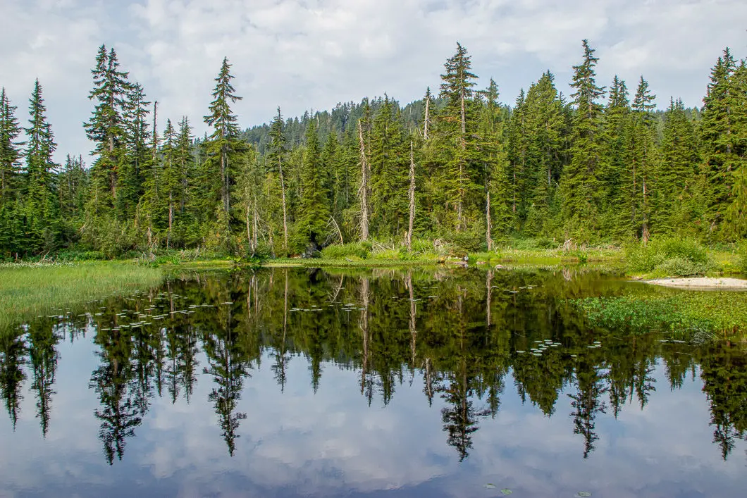
Munro Lake and Dennett Lake are two beautiful lakes which can be accessed via a steep hike in Pinecone Burke Provincial Park, Coquitlam.
The lakes are close to each other, although separated by about 120 meters of elevation. You first reach Munro Lake along the trail, and then carry on another 1 km to Dennett Lake. Between the two lakes, there is an incredible viewpoint looking east.
Dennett Lake serves as a terrific swimming hole in the summer.
On the downside, this hike can be very muddy in the spring. In fact, mud will persist on the trail between the lakes for most of the year. The hike to Munro and Dennett Lakes is a great one to save for late summer or fall. If you have gaiters, they will probably be helpful on this hike.
Bugs can also be a nuisance on this trail – particularly around Munro Lake.
Safety note: Be bear aware. This is true on all hikes, but Burke Mountain has a healthy bear population. Be prepared for, and know what to do in an encounter. Dogs must be on-leash at all times within Pinecone Burke Provincial Park.
Munro and Dennett Lake Hike Stats
Rating: Difficult
Distance: 12.5 km
Net Elevation Change*: 866 m
Highest Point:954 m
Time Needed: 6 Hours
Type: Out-and-back
Season: June to October
Dogs Allowed:Yes, on leash
Est. Driving Time from Vancouver: 1 Hour
Trailhead Coordinates: 49.322416, -122.688383
Munro Lake Only Stats
Rating: Moderate
Distance: 10.5 km
Net Elevation Change*: 776 m
Highest Point:864 m (Munro Lake is 834 m)
Time Needed: 4.5 Hours
Type: Out-and-back
Season: June to November
Dogs Allowed: Yes, on leash
Est. Driving Time from Vancouver: 1 hour
Trailhead Coordinates: 49.322416, -122.688383
*For a better understanding of the stats and difficulty rating, check out the Hiking Guides page for details. Always carry The Essentials and fill out a trip plan.
Munro and Dennett Lake Video
Here is a 2-minute video of our experience on this hike!
Munro and Dennett Lake Hike Map and Elevation
Munro-Dennet Lake
Profile
Munro and Dennett Lake Hiking Route
Park on the side of the gravel road near the 12 km marker (directions) and find the trail. The trail begins on the north side of the road. It is an old logging road that begins heading uphill immediately, into the forest.
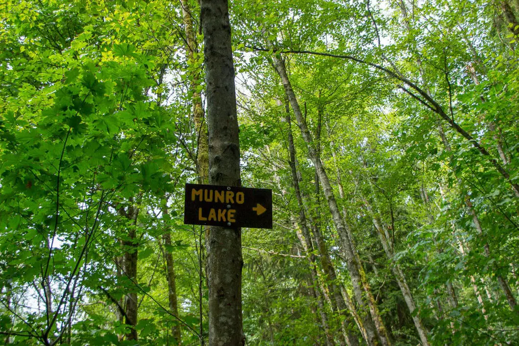
200 meters up the dirt road, you’ll see a yellow-painted sign for Munro Lake in a tree. Go right at this junction. You now leave the old road and begin the Munro Lake Trail.
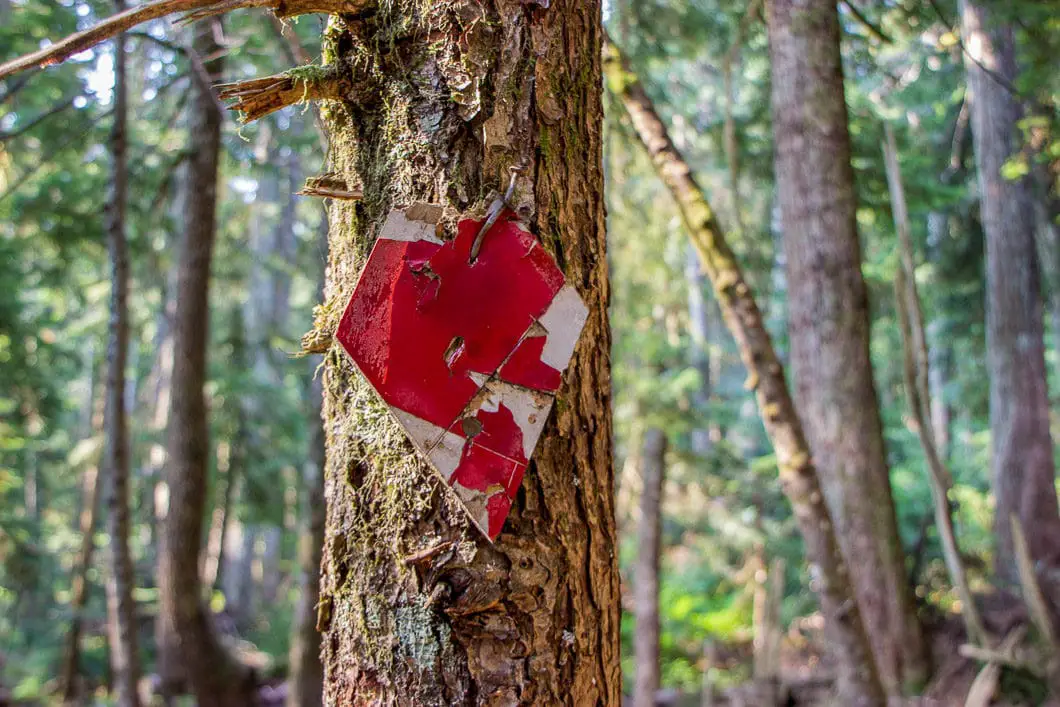
There are plenty of square trail markers in the trees. You can tell the markers were once bright-red but the colour has faded over the years.
The trail continues to climb and soon becomes single-track. The trail passes by a large boulder with graffiti on it. The forest is dense, mossy and green. After the boulder, there is a creek (Deiner Creek) on your left.
Just beyond the boulder, there is another junction with another sign that says Munro Lake. You will go right, in the direction of the sign. The path is well-defined and easy to stay on.
After about 15 minutes of climbing, you’ll start to see some partial views through the trees to your right. You can make out some of the Pitt River and surrounding farmland.
It’s a steady uphill climb. Nothing too difficult but with some rocks and roots to keep you on your toes.
Periodically, you will see some pink ribbon in the trees, marking the way. On some trees, you will see the bottom of tin-cans which have been painted red, nailed in place. There is also orange flagging at times. These are all indicators you’re on the trail.
About 800 m in, the trail narrows and feels a bit overgrown as you walk through a bushy area.
Around 1.15 km, the trail pushes you back out into an open, forested area.
You’ll see a fork in the trail. In fact, you will see many forks in the trail between here and the upper junction for the old ski village. For simplicity, you can follow whichever route has the pink ribbons. But, whichever route you choose, the trails all rejoin together shortly after they fork.
At 1.6 km, or about 30 minutes into the hike, there will be some small switchbacks and you will again have an obstructed view to your right. Keep climbing up the trail.
Roughly 2.15 km in, or 45 minutes, you come to a junction. Here, you can find a viewpoint to your right. Through a small clearing, you will see some farmland below in the distance.
This viewpoint is at an elevation of 530 meters and you’ve now done about half the elevation gain to Dennett Lake.
The terrain will become steeper from here. As a result, the trail starts a series of large switchbacks. You may see a path that cuts up the middle of the switchbacks. To help avoid the degradation of the environment, please stay on the main trail and do not short-cut the switchbacks.
At the top of the switchbacks, the trail levels off somewhat, so do your best to power up this section. Once you’re at the top, most of the steep hiking is done until after Munro Lake.
At the top of the switchbacks, at about 2.5 km, there is a sign on the trail that says ‘Viewpoint Loop’. Follow the side-trail to the viewpoint. It’s a detour of only a couple minutes and gives you a great lookout from a rocky bluff. You’ll be able to see the Port Mann Bridge, Pitt River, Port Coquitlam, and Surrey.
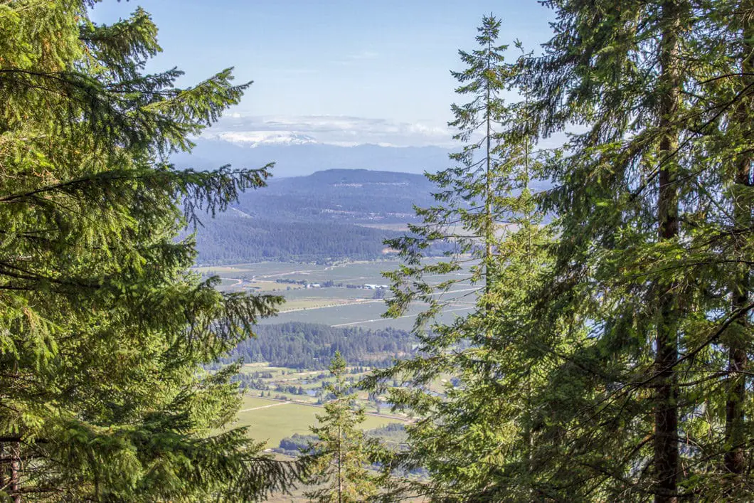
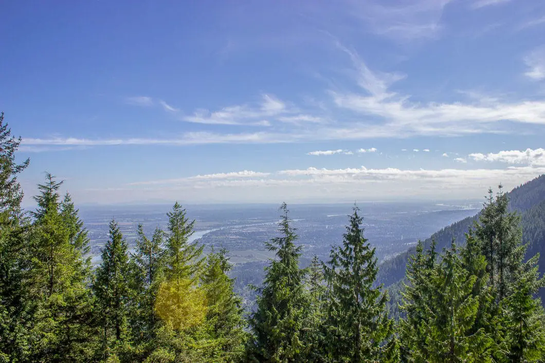
The detour is a short loop, so you can find where the trail continues from the top of the rocks back towards the main Munro Lake Trail. After a minute, you’ll come back to a junction for the main trail. There will be another sign that says ‘Munro Loop’ and a marker here listing the elevation at 700 m. Go left here and make the final push to Munro Lake.
The trail heads uphill for a bit and then flattens out. The trail here becomes rooty and technical. The footing can be difficult and sections, and there may be some deadfall to skirt around. There is lots of flagging though, so you should have no problem following the trail as it heads north.
About 3.5 km into the hike, you’ll come to a large junction with signs and tags in the trees. You’ll see signs for the Village Trail to the left, and signs for Quarry Road (back the way you’ve come). And you’ll see signs for Munro Lake, pointing to the right. Go right.
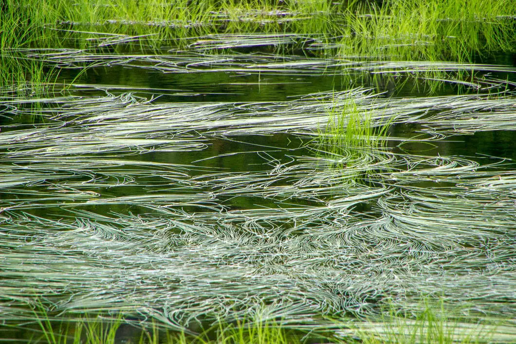
At about 4.8 km you’ll reach Munro Lake. Strong hikers should make it here in about 2 hours. Munro is actually a series of smaller lakes. When you first emerge from the trail, you come to a section of Munro Lake that doesn’t look overly large or impressive. There is a trail that carries to your right, along the edge of the lake. It can be quite muddy and overgrown but is worth going a ways to see the rest of the lake. It is possible to carry on all the way to the far east side of the lake to the site of an old dam, but that will add some time and distance not accounted for in the hiking stats of this guide.
Bugs may be bad here as well, but it is a beautiful and tranquil area. In the late summer, you’ll be able to find some blueberry bushes around the lake. Organic and delicious.
Munro Lake used to be dammed and was a single, large lake. “Early in the last century, damming of this lake provided power to a nearby rock quarry operation. The opening of this dam in the fall of 1981 decreased Munro’s water levels, shrinking and fragmenting the lake.” [source]
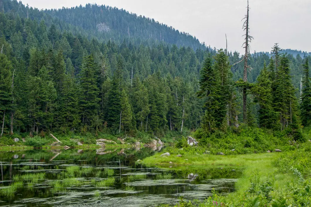
If you’re tired, you can head back from here, calling it a successful hike. But if you have the energy and the daylight hours, the best views are yet to come.
After you’ve scoped out the Munro Lake area, you can carry onto Dennett Lake. There is a short but steep uphill section to reach Dennett from here, which lies about 1 km away. Dennett Lake is beautiful and well worth the roughly 1-hour out-and-back from Munro.
To reach Dennett Lake, find the blue flagging that goes across the middle of a raised area (near the pond where you first emerged from the trail to Munro Lake). It may be muddy, but you’ll get to the west side of Munro Lake to a creek that feeds into Munro. The trail goes into a bushy area and crosses the creek. This section of trail is overgrown, and it may be difficult to find the trail in a few spots. Take your time and look for the blue flagging to make sure you get on the Dennett-Munro Connector.
After a few minutes, you’ll be away from the marshy area and the bugs, and back into the forest.
The next stretch is an uphill section and the most difficult hiking of the trek. It is steep, and footing is difficult. Take your time and make your way up this section, following the orange and blue flagging. There are several muddy sections to navigate.
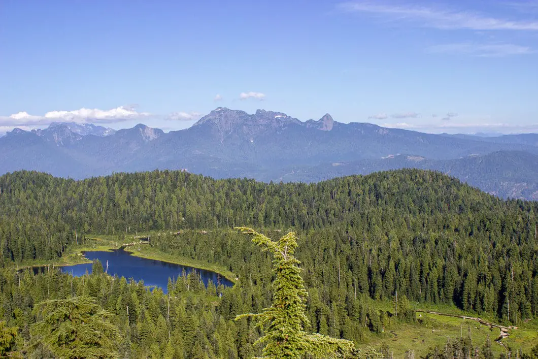
At the top, you will emerge to a beautiful pond with lily pads and skunk cabbage. At this pond, if you look to your left, there is an unmarked trail. This trail is a roughly 20-minute detour to a sweeping lookout. Go left and check it out.
Download the PDF version of this guide for offline use
At the Munro Lake lookout, you can see Golden Ears to the east, and look down onto directly onto the fragments of Munro Lake. You can also see Mount Baker in the United States and the Chilliwack’s Cheam Range in the distance.
Cool fact: “In 1995, the provincial government declared [Pinecone Burke] a Class A park… The study team that set aside the provincial park where this hike takes us considered Burke Mountain a rare feature in the Lower Mainland, because of its subalpine meadows, numerous ponds and lakes, and long, gentle ridge.” [source]
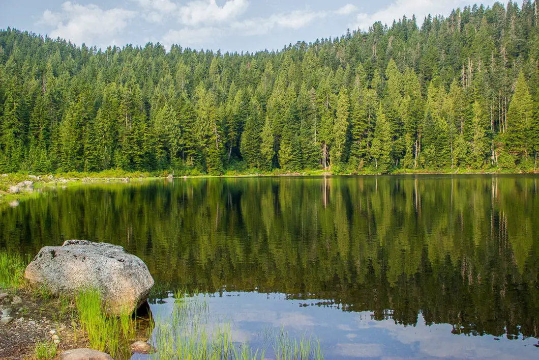
After enjoying the view, return back to the pond. Follow the trail around the pond. A short distance after you reach the other side of the pond, the trail will push you onto the shore of Dennett Lake.
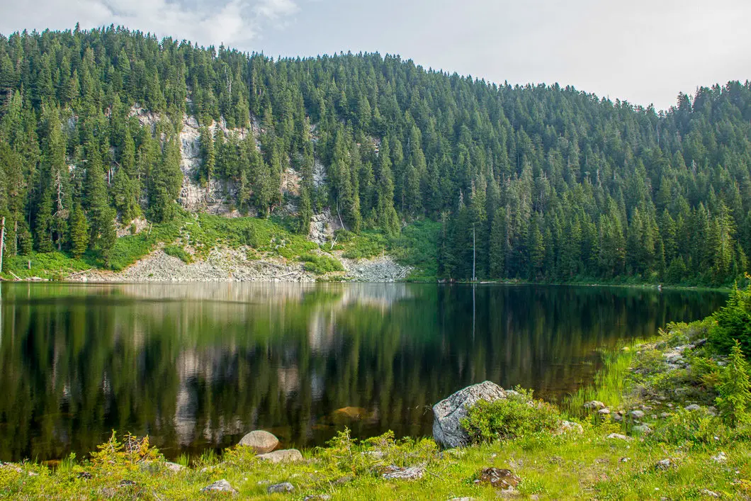
Dennett Lake is beautifully situated, with a large cliff wall around the far side of it. You can walk along the edge of the lake, find a nice spot to rest, and enjoy the scenery.
On a summer day, it’s a fantastic swimming hole.
When ready, retrace your steps back to Munro Lake, then back down to your car.
Directions and Parking
Take Coast Meridian Road north in Coquitlam. Turn right onto Victoria Dr. to Quarry Rd. Go left where Victoria Drive forks. You’ll see a sign that says welcome to Coquitlam. Follow Victoria Drive, which will turn into Quarry Road. Drive past the entrance to Minnekhada Regional Park. The parking area is about 3.5 km past the Minnekhada entrance, so you can watch your odometer.
The road will turn to gravel, and there will be kilometer markers on the side of the road. Just beyond the 12 km marker, there is a small pullout on the right-hand side of the road. There is enough space for 3 or 4 cars to park here.
Google Map directions are here.
Other great hikes in this area
- Widgeon Falls (easy)
- Sawblade Falls (easy)
- High Knoll (easy)
- View all hiking guides here


Lauren
Hiked up to Munro Lake on May 20. Lots of snow as you get approx. 10-15 mins from the lake, and then once at the lake, it’s almost completely covered in snow. Didn’t attempt to continue to Dennett Lake, due to the amount of snow and very poor visibility on the day. This hike is a great workout in a beautiful setting! Pull-out parking would only fit 4 cars if they were all small…