Murrin Park Loop Trail – Table of Contents
- Hike Introduction
- Hike Statistics
- Murrin Park Video
- Map and Elevation
- Hiking Route Description
- Directions and Parking
- Free PDF Download
- 360° Photosphere
Murrin Park Loop Hike Intro
The Murrin Park Loop Trail (also called the Quercus Trail) is located in Murrin Provincial Park, Squamish. Murrin Park is a popular spot for swimming, fishing, and rock climbing.
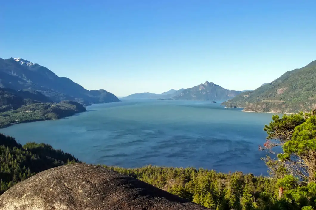
The Murrin Park Loop Trail takes you to some incredible viewpoints, including Quercus Viewpoint and Jurassic Ridge. The view of Howe Sound has been compared to that of the view the Chief gives you, but from a lower elevation and with less effort.
From the viewpoints, you can see Howe Sound and the mountains looming over the Sea to Sky highway to the south. The Murrin Loop Trail is scenic and peaceful and takes you by many of the rock climbing walls in the park. In fact, there are over 100 climbing routes in the park.
You’ll often see the parking lot at Murrin Park jam-packed as you drive by along the Sea to Sky Highway. It is estimated the park sees 350,000 visitors per year. This is because the quaint Browning Lake is a favorite spot for swimming, picnicking and for fishing. Some will stretch their legs by taking the walk around the Browning Lake Trail, which navigates the lake.
Far fewer people, aside from rock climbers, tend to head into the hiking trails around the park. And they’re missing out.
A complete map of the park’s trails can be found here.
Murrin Park Loop Hike Stats
Rating: Moderate
Distance: 2.4 km**
Net Elevation Change*: 160 m
Highest Point: 290 m
Time Needed: 1.5 Hours
Type: Loop
Season: Year-round
Dogs Allowed: Yes, on leash***
Est. Driving Time from Vancouver: 50 Minutes
Trailhead Coordinates: 49.645359, -123.204513
**While the Murrin Park Loop Trail is listed at 1.8 km, this guide takes a scenic detour up to Jurassic Ridge.
***Dogs are prohibited from the main beach area.
*For a better understanding of the stats and difficulty rating, check out the Hiking Guides page for details. Always carry The Essentials and fill out a trip plan.
Murrin Park Video
Here is a 1.5-minute video of our experience on this hike!
Murrin Park Loop Hike Map and Elevation
Murrin Park
Profile
Murrin Park Loop Hiking Route
From the parking lot, walk towards Browning Lake. There are two outhouses you can use at the end of the parking lot.
Follow the path along the shore of the lake towards a series of picnic tables. Just beyond the picnic tables, you will see a junction marked for the Murrin Loop. The trail goes up and to the right.
The initial stretch of trail is a quick climb that soon drops back down. It is a rocky section of trail. You’ll immediately come to a junction. Make sure you turn right, up the hill. It’s marked for Loop Trail and Quercus Viewpoint. There is an orange marker in one of the trees up the trail ahead.
After a short climb, about 400 meters into the hike, you will come to a rock climbing wall called The Commonwealth. Go left at the junction here, up the wooden stairs.
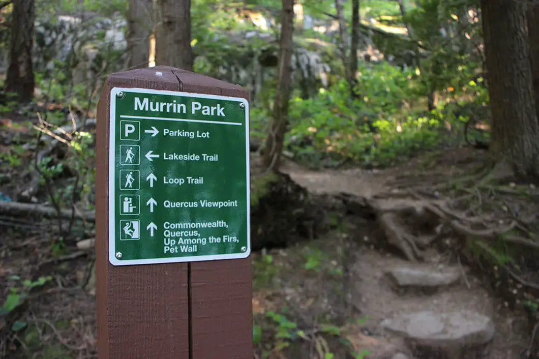
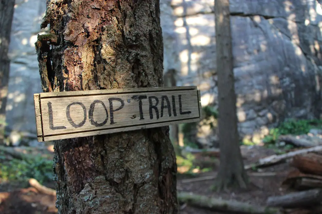
The trail will zag to your right, and there will be a huge slab wall to your left. The trail is steep, with rock stairs and wooden stairs. Keep following the trail as it climbs steadily.
You will soon come to another climbing wall, this one called Quercus. There is a marker here for the Loop Trail, which continues up in the same direction, heading north, around Quercus.
After you climb up, you will loop back to the top of the Quercus climbing wall and reach a junction. It is marked for the Quercus Viewpoint, so make sure you take the detour straight ahead to enjoy the view. This junction is roughly 600 m into the hike.
From Quercus Viewpoint, you have a 180-degree lookout over Howe Sound. You can see Anvil Island in the distance directly to the south, and the mountain ranges on both sides of Howe Sound. And if you look carefully down below, you’ll see cars zooming around a corner of the Sea to Sky Highway. Take a break and soak up the view.
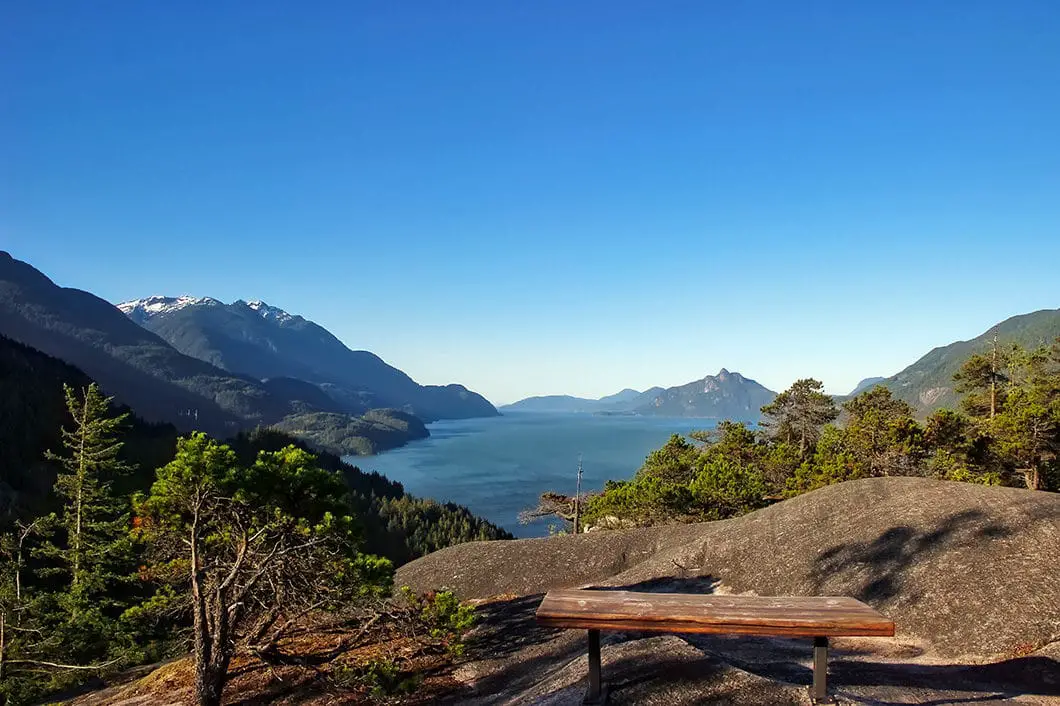
After you’ve soaked in the views at Quercus, head back to the previous junction. Now, go left, back onto the Loop Trail.
You will begin to drop down and there is a non-obvious junction you will need to pay attention for. Stay to the right at the junction, following the orange markers, and not following the trail down to the left.
Cool fact: “The Murrin Park Loop Trail was completed in 2014, after 2 years of development. The trail is a joint endeavor of Capilano University’s Advanced Wilderness Leadership program and the Squamish Access Society. ” [source]
Jurrasic Ridge Trail
At roughly 1 km, just after the previous junction, you will see a junction marked for Jurassic Ridge on your right. You can bypass this looped-detour and continue along the Loop Trail if you wish to shorten the hike. Yet, Jurassic Ridge provides the best views in the park so it is well worth it. Jurassic Ridge is only about a 600 meter trail but adds elevation and time to the hike. It also has some of the most difficult sections of the hike, so take caution.
Head right, up the trail marked for Jurassic Ridge. After a five-minute, steep climb, the trail will drop down before climbing back up. There are orange markers here in the trees and the trail is easy to follow. You’ll come to a large rock with a rope to help you climb up.
The trail will then drop down sharply, and there will be another rope to assist you. The trail comes to a gully, and does a hairpin turn heading north, to your right. Follow the orange markers. The trail will double back again and do the final climb up Jurassic Ridge.
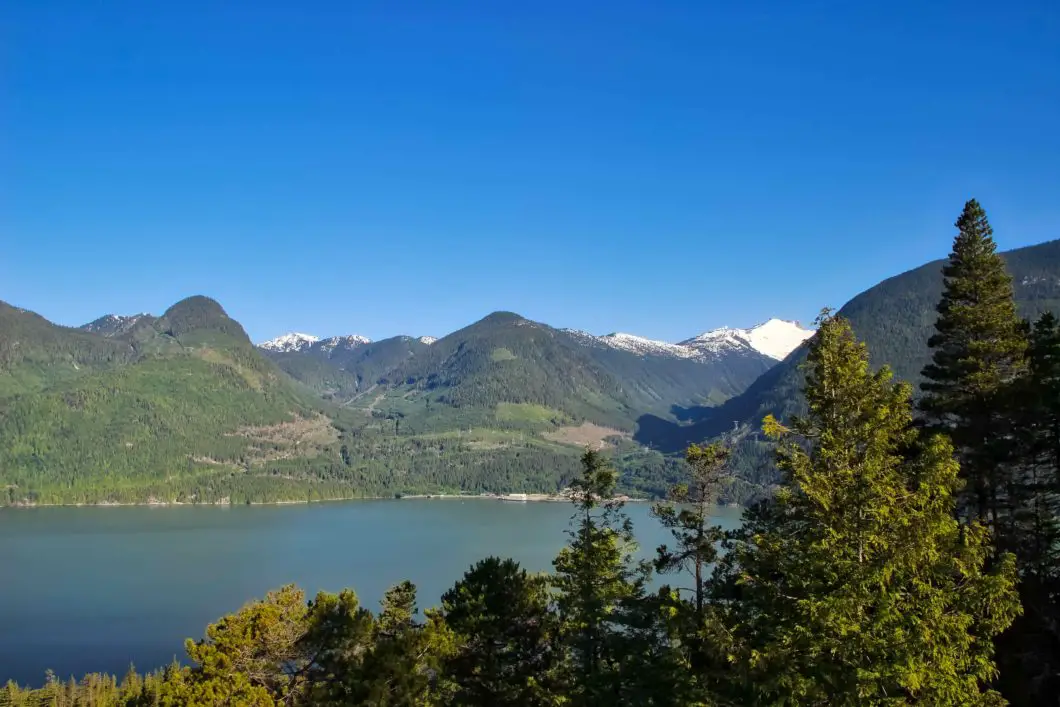
Once you’re at the top, you will again come out to 180-degree views. You can see even further up Howe Sound than you can from Quercus Viewpoint. Snow capped mountains will be on your right. You can actually see Quercus Viewpoint, down, directly to your left.
From this first viewpoint, the Jurassic Ridge trail will continue to drop all the way back down and rejoin the Loop Trail. It is steep and difficult hiking in some sections. Go slow and take caution.
There are two more great viewpoints along the way down. There are also ropes in several sections to help you descend.
After a short while of descending, you will reach a ladder made of rebar. Climb down and you will join back up with the Loop Trail. Scramble down some boulders and back into the woods. You will pick up the Loop Trail on your left.
There is a junction for Up Among the Firs, and Loop Trail. Go straight, along the Loop Trail. There are orange markers on both trails, so make sure you go on the flat Loop Trail, and not up the other trail.
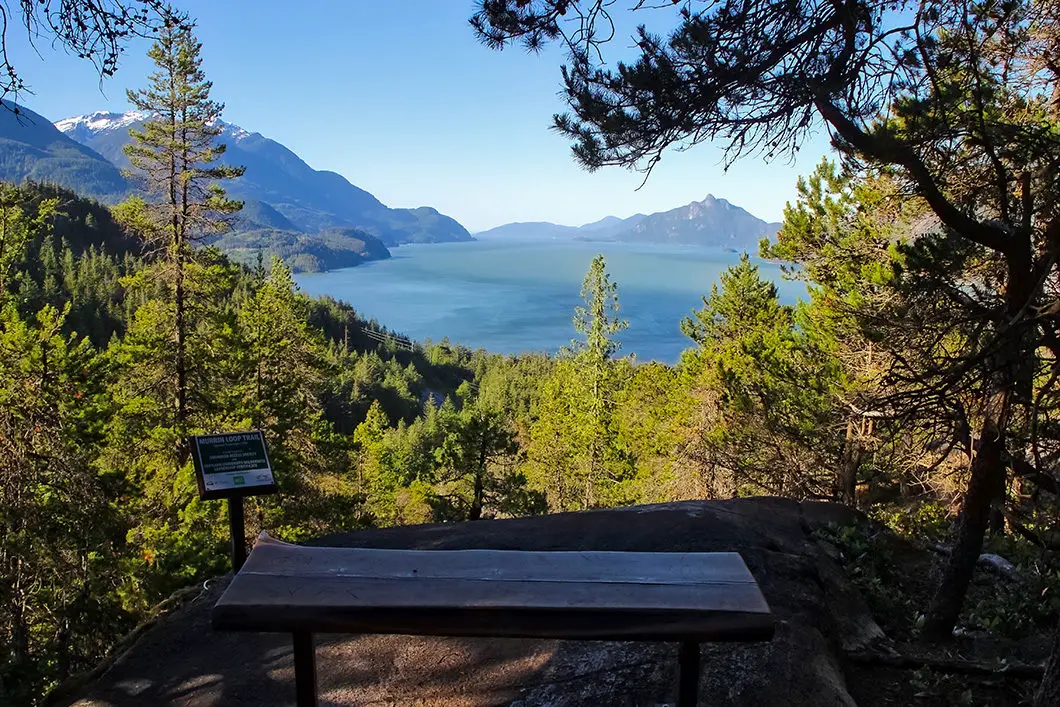
The trail becomes less rooty and rocky and drops down at a gradual rate. You’ll come to a viewpoint with a bench and a sign stating the trail was opened in September 2014.
From the bench lookout, drop down a steep set of rock stairs. You’ll pass by Woodstock climbing wall on your left. The route is marked for Loop Trail so simply stay on it. Drop down, following the trail. Before long, you’ll come back to one of the very first junctions that was marked for Quercus Viewpoint. Go up and over the little hill and you’ll be right back at Browning Lake!
If you leave a swimsuit and towel in your car, you can go for a dip to cool off.
Download the PDF version of this guide for offline use
Directions and Parking
Parking for the Murrin Loop hike is in the Murrin Provincial Park parking lot just off the Sea to Sky Highway, by Browning Lake.
The gates are open from 7am until 10pm. During the summer months, the parking lot can be extremely busy. Make sure you park in a spot, as B.C. Parks will have vehicles towed if parked illegally.
To get to the parking lot, take the Sea to Sky Highway, north, towards Squamish. The turnout is just a few minutes beyond Britannia Beach (Britannia Mine Museum). You will see the signs for Murrin Provincial Park and you will also see Browning Lake on your left. There is a left-turn lane you can pull into, to safely make the turn into the parking lot. If you reach Shannon Falls, you have gone too far and must turn around.
Google Map directions are here.
Other great hikes in this area
- The Chief (moderate)
- Al’s Habrich Ridge (moderate)
- Sea to Summit Trail (moderate)
- View all hiking guides here


Lauren
Nice hike if you’re looking for something short that rewards you with some lovely views. Quercus Viewpoint can be reached in less than 30 mins, so I would highly recommend continuing on to Jurassic Ridge. Definitely more challenging on a wet day, as the rocks you have to make your way up and down in certain sections are very smooth and slippery (wouldn’t recommend taking kids unless it’s a dry day).
Cristi
Thank you for this post. I’ve been at that lake so many time, for fishing. I had no idea, until now, there is such a nice trail around. I’m already making plans for it, maybe next weekend :)