Nairn Falls – Table of Contents
- Hike Introduction
- Hike Statistics
- Nairn Falls Video
- Map and Elevation
- Hiking Route Description
- Camping at Nairn Falls
- Directions and Parking
- Free PDF Download
Nairn Falls Hike Intro
Nairn Falls is an easy hike leading to an impressive waterfall in Nairn Falls Provincial Park, located in Pemberton.
The trail is easy enough that it’s a great family hiking option. The trail leads 1.5 km to two viewing platforms overlooking the upper and lower falls.
A hike to Nairn Falls is the perfect outing if you’re camping in the park or passing between Whistler and Pemberton. The hike is easy to access and short enough it can be done without a ton of planning or time.
Generally speaking, Nairn Falls is hikeable year-round. While an easier trail, proper hiking preparations should still be taken. Especially if hiking during the winter when the trail is covered in snow. It is also worth noting the Nairn Falls Trail has steep banks and drop offs. The Green River itself runs fast and can be hazardous.
Nairn Falls Hike Stats
Rating: Easy
Distance: 3 km
Net Elevation Change*: Minimal
Highest Point: 280 m
Time Needed: 1.5 Hours
Type: Out-and-back
Season: Year-round
Dogs Allowed: Yes, on leash
Est. Driving Time from Vancouver: 2 Hours
Trailhead Coordinates: 50.296874, -122.820323
*For a better understanding of the stats and difficulty rating, check out the Hiking Guides page for details. Always carry The Essentials and fill out a trip plan.
Nairn Falls Video
Here is a 1-minute video of our experience on this hike!
Nairn Falls Hike Map and Elevation
Nairn Falls
Profile
Nairn Falls Hiking Route
The Nairn Falls Trail starts at the Nairn Falls Provincial Park parking lot, just off the Sea to Sky Highway about 20 minutes north of Whistler. There is a day-lot on your right as you exit the highway and enter the park.
The trail begins near the restrooms at the edge of the parking lot.
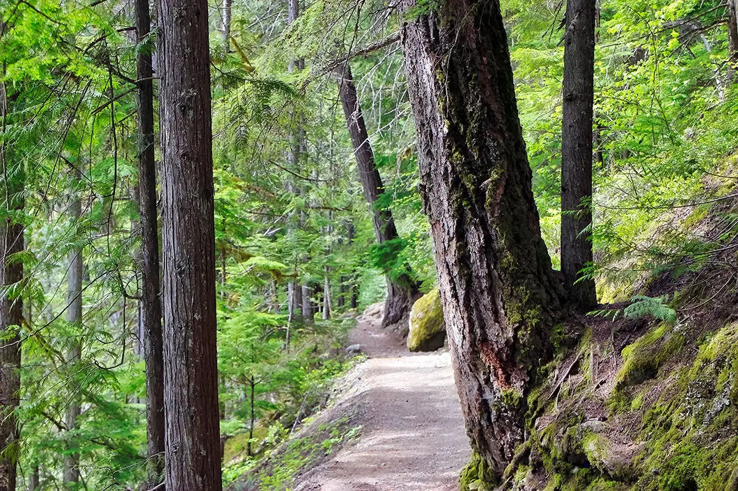
From the outhouses, walk towards the chain-link fence above the Green River. Go right, along the wide, groomed trail. The trail will drop downhill at a slight grade, with the Green River on your left.
The entire Nairn Falls Trail is a relatively even trail, with a few ups and downs along the way. The trail is easy to navigate and there are no real junctions or places to get lost along the way.
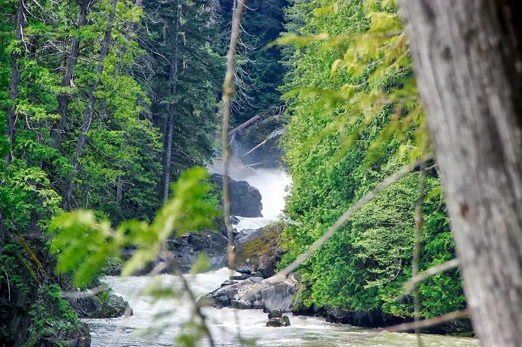
The Green River will be on your left during the entire trek to the waterfall.

There are a few sections where there are steep trails down to the river. You can hike down to the river if you wish for a view, but take caution on the steep trails. The river itself is fast flowing and powerful and is not suitable for swimming.
About 800 meters into the hike you will be able to see the splash of the lower Nairn Falls ahead of you on the river.
At 1.3 km into the hike, the trail begins to climb uphill and becomes rocky. This short section is the most difficult part of the trail and is the final climb before the lookout platforms.
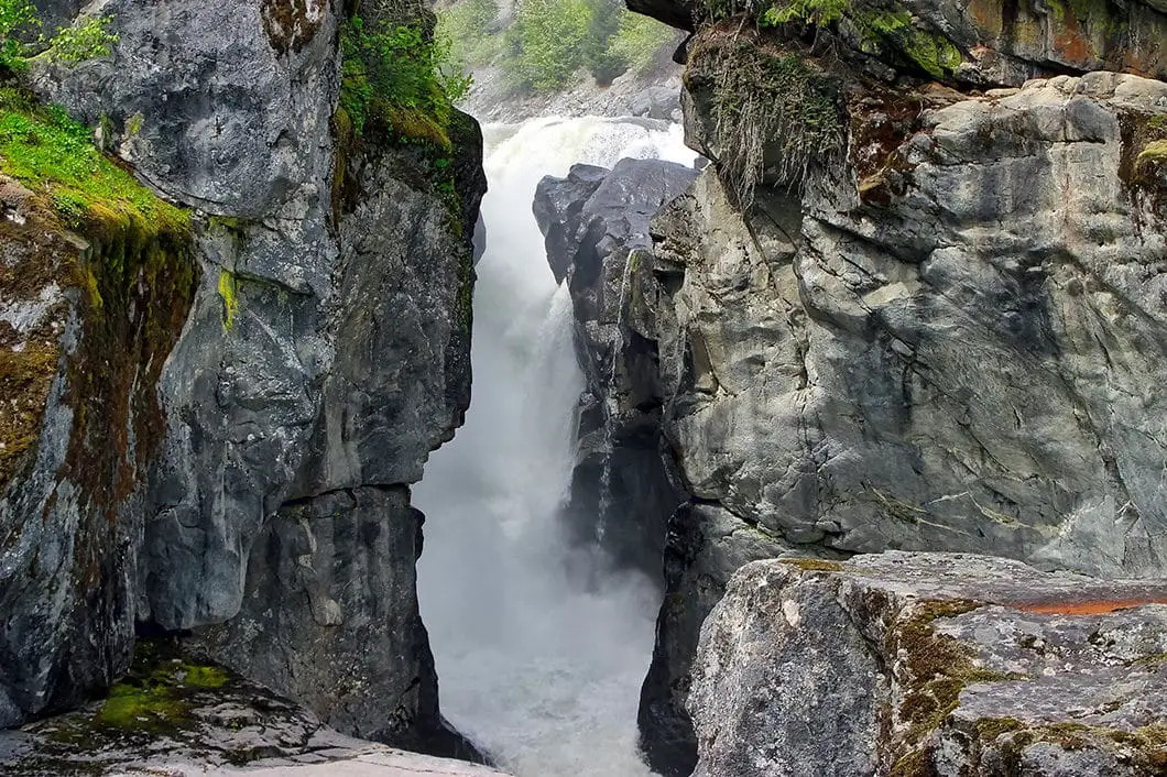
Once you reach Nairn Falls, there are two lookouts. The first lookout is up the hill straight ahead. Here, there is a viewing platform overlooking the upper falls. You can see the water spilling over the falls, before taking a sharp 90-degree turn and carrying over to the lower falls.
Nairn Falls is listed as being 60 meters tall, however, this is a bit misleading. Since the waterfall is broken into two distinct sections, each section is about 30 meters tall.

Cool fact: Over one hundred and fifty million years ago, this area was near the shore of a vast ocean. Gradually the earth’s crust moved upwards and crushed nearby volcanic islands against the shoreline. Further upheavals and other movements of the earth’s crust changed this area from a shoreline to a mountainous area. [source: B.C. Park’s sign]
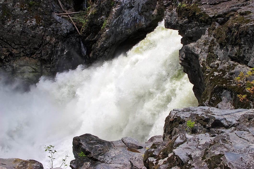
The second platform, down below, gives you a side-view of the lower falls. The sheer amount of water is impressive, especially in the springtime. You can see the water crashing violently at the base of the lower falls. The surge of water then carves it’s way through the canyon and down along the Green River towards the Nairn Falls campground.
If you look carefully into the canyon below, you can spot the pot holes which have been created by the powerful water over time.
Please stay within the fenced areas and on the platforms. A slip over the edge would be deadly for obvious reasons.
Take your time enjoying the waterfall, and return to your car along the same path.
Download the PDF version of this guide for offline use

Camping at Nairn Falls
The Nairn Falls campground, operated by B.C. Parks was established in 1966. The park is 170 hectares and has 94 vehicle accessible campsites. Fires are permitted (if there is no fire ban), but there are no showers at this campground.
The park services operate between May 12 and October 1 and sites are reservable through B.C. Parks.
Outside of those dates, the gates are closed, but you can walk in and camp (with no services).
The park has a great overlook of the Green River, and there are trails leading down to the river and overlooking it. There is also a nice 2 km trail to nearby One Mile Lake, which is a great spot for swimming and picnicking.
Directions and Parking
Getting to Nairn Falls is straightforward. Take Highway BC-99 North towards Pemberton. About 20 minutes beyond Whistler, just before reaching downtown Pemberton, you will see the signs for Nairn Falls Provincial Park. Take the exit and find the parking lot on your right.
Google Map directions are here.
Other great hikes in this area
- Brandywine Falls (easy)
- Wedgemount Lake (difficult)
- Garibaldi Lake (moderate)
- View all hiking guides here


