Needle Peak – Table of Contents
- Hike Introduction
- Hike Statistics
- Needle Peak Video
- Map and Elevation
- Hiking Route Description
- Directions and Parking
- Free PDF Download
- 360° Photosphere
Needle Peak Hike Intro
Needle Peak is a difficult hike in the Coquihalla Summit Recreation Area, near Hope, B.C.
The first 3.3 km of the hike takes you up a steep trail through the forest into the sub-alpine, reaching a saddle between Needle and Flatiron peaks. Carrying on, the final 1.5 km takes you up the exposed ridge of Needle Peak, with two hard sections of scrambling.
The hike is not a long one, but it has a difficult scramble to reach the summit. For those looking for a challenge, Needle Peak is a rewarding hike with incredible views in all directions. On a clear day, looming high above the summit of the Coquihalla Pass, Needle Peak offers views of the Coast and Cascade mountain ranges as far as the eye can see.
Needle Peak can also be hiked in conjunction with nearby Flatiron Peak, which is an easier objective and has a much easier scramble to the top.
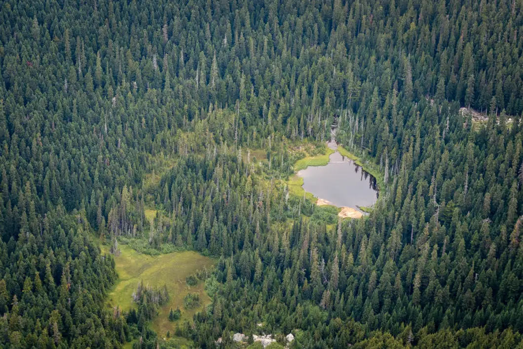
There is no camping at Needle Peak, but backcountry camping is allowed at the lake which sits below Flatiron Peak.
A word of caution
The scramble up to the summit of Needle Peak can be dangerous, particularly in wet conditions. This hike should be left for experienced hikers.
The weather at the Coquihalla Summit can be unpredictable and change quickly. It is often windy and cold on this hike, so bring extra layers including toques and gloves, even in the summer.
Much of the hike is exposed, and sun protection is a good idea on sunny days.
Water availability is also limited unless you’re hiking to nearby Flatiron Peak, so carry plenty of water with you.
Dogs are allowed on-leash, but the scramble to the summit is likely too difficult for most.
Needle Peak Hike Stats
Rating: Difficult
Distance: 10 km
Net Elevation Change*: 889 m
Highest Point: 2,090 m
Time Needed: 4-6 Hours
Type: Out-and-back
Season: July – September
Dogs Allowed: Yes, on leash
Est. Driving Time from Vancouver: 2 Hours
Trailhead Coordinates: 49.594830, -121.122488
*For a better understanding of the stats and difficulty rating, check out the Hiking Guides page for details. Always carry The Essentials and fill out a trip plan.
Needle Peak Video
Here is a 6-minute video of our experience on this hike!
Needle Peak Hike Map and Elevation
Needle Peak
Profile
Needle Peak Hiking Route
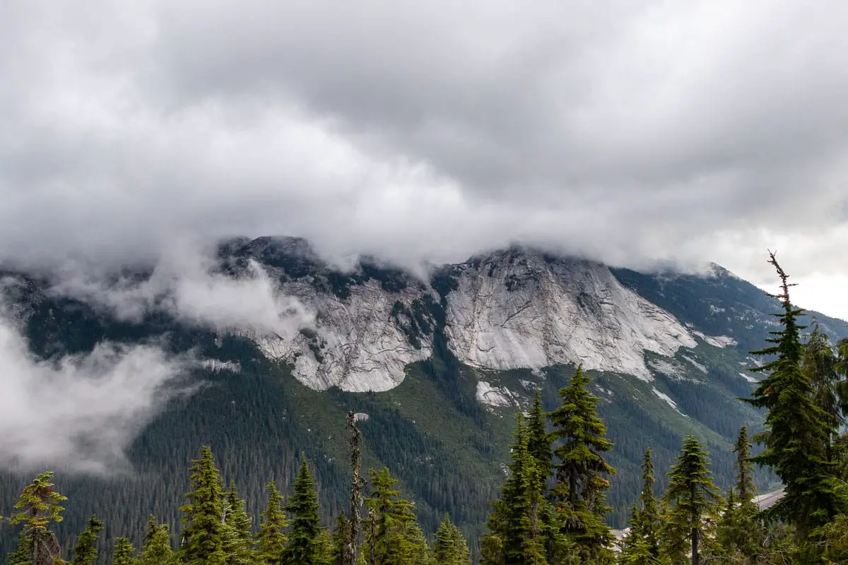
From the parking area, you’ll be able to see Needle Peak to the south.
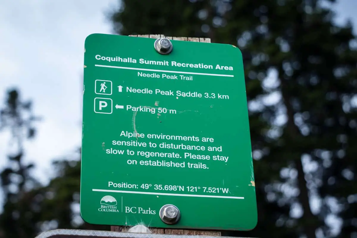
Walk west from the end of the dirt parking area (directions), away from the sheds. You’ll cross over a small stream. There you will see a B.C. Parks sign for the Needle Peak Saddle marked at 3.3 kilometres away.
As you begin the trail, it climbs uphill sharply. There are frequent orange markers in the trees and the trail is easy to follow.
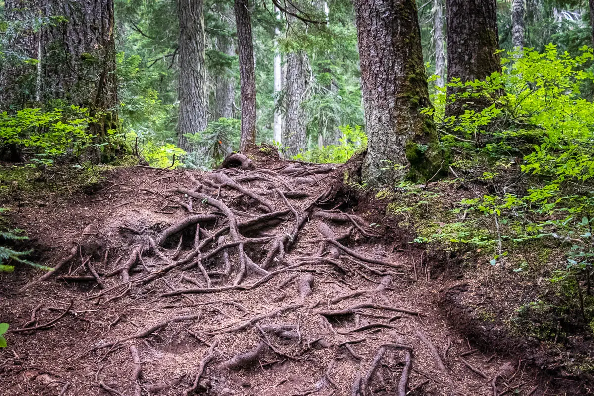
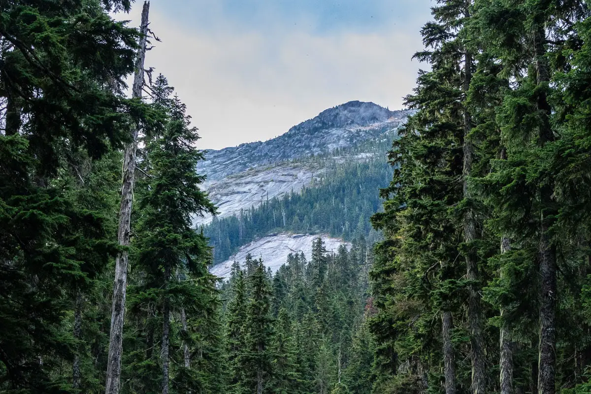
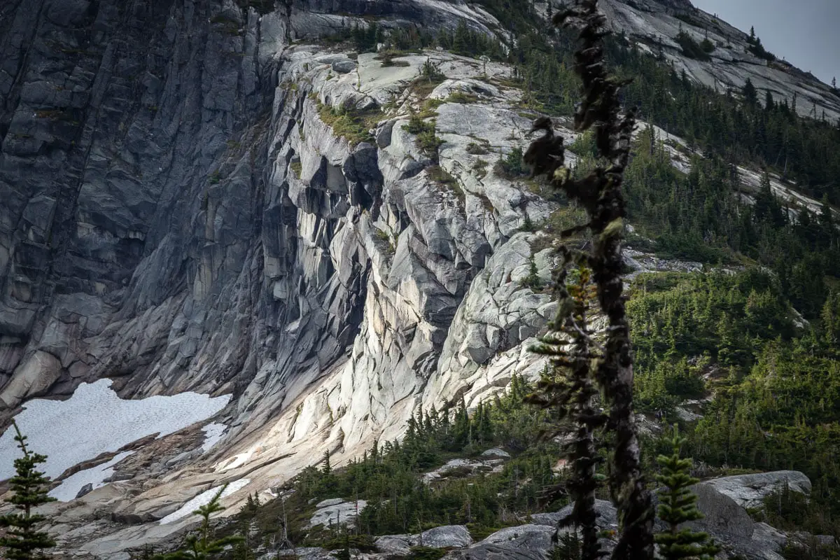
The trail is steep, rooty, and technical for the first kilometre. After about 45 minutes, you’ll come into the sub-alpine. Here, you have views of Yak Peak to the north and the Anderson River Group to the northwest on the other side of the Coquihalla Highway. The trees are sparser here, and the views begin to open up. You will get a nice view of Needle Peak ahead and its sheer northern slope with its neighbouring Markhor Peak. The trail continues to climb up, although more gradually.
As you climb into the alpine, there are a few sections with multiple paths. It shouldn’t matter which path you take, as they seem to connect together. Continue marching towards the saddle between Needle and Flatiron peaks.
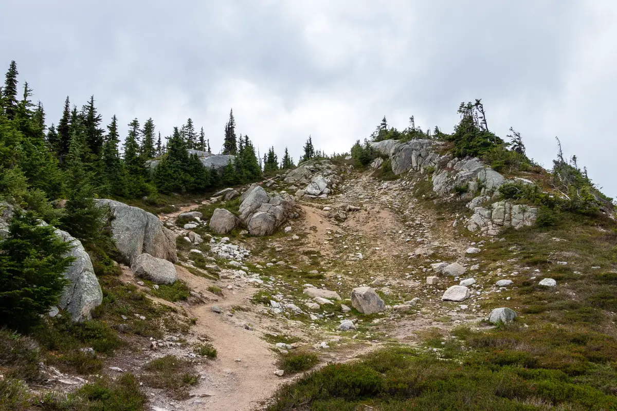
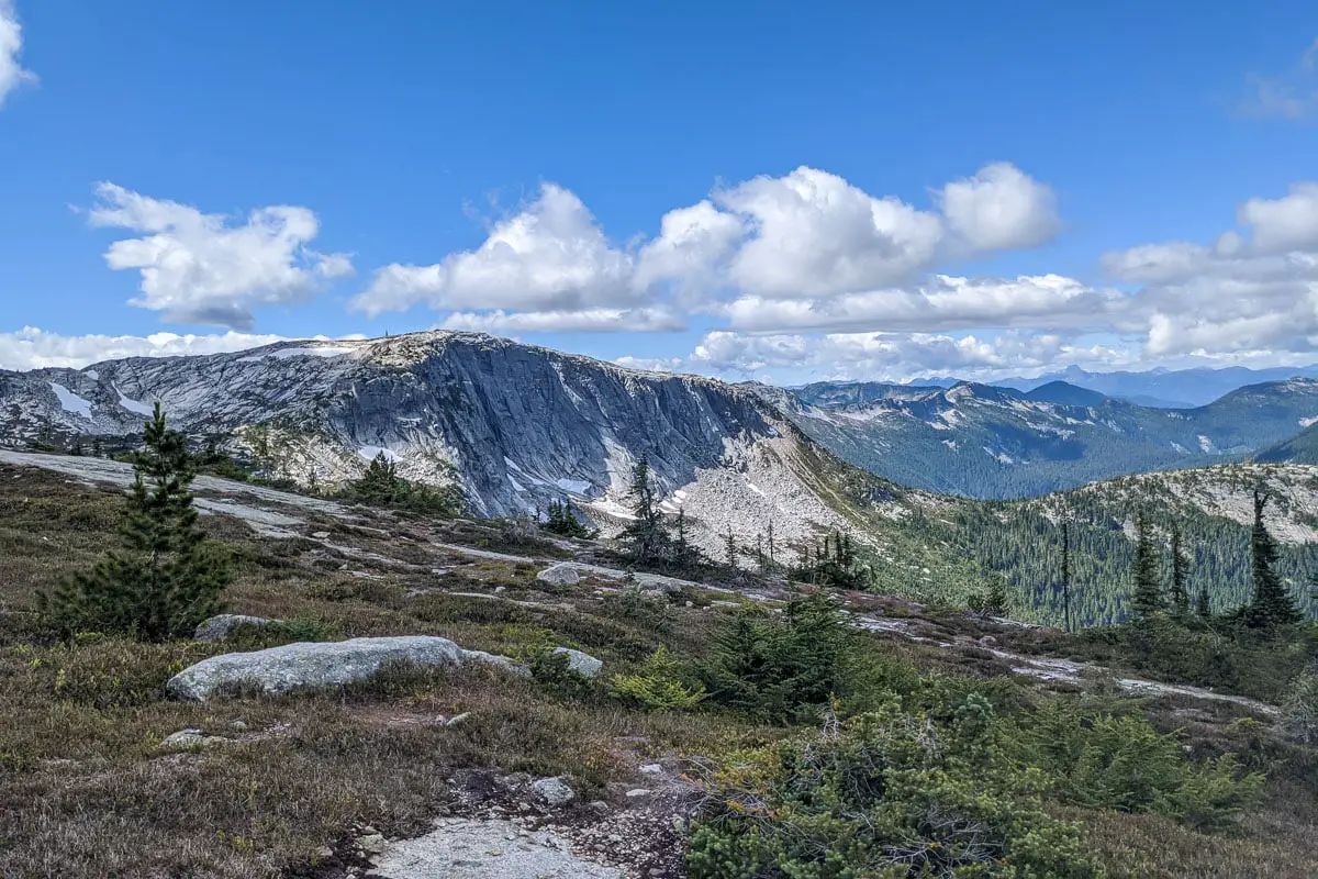
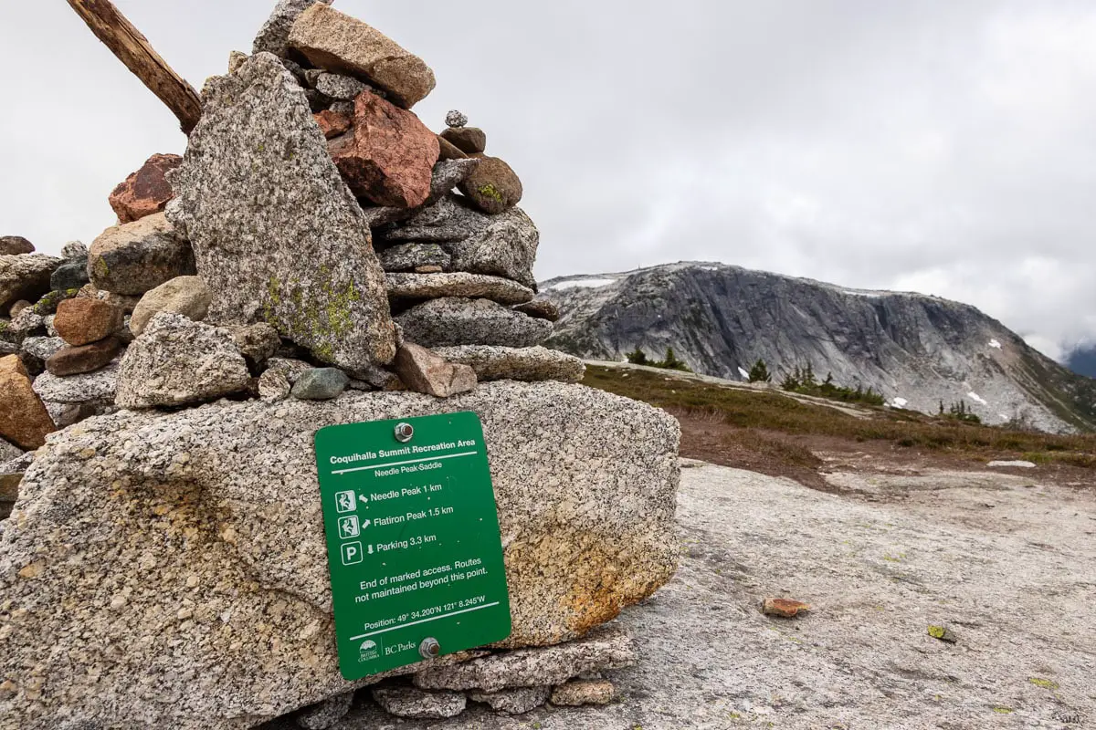
Eventually, you will reach the Needle/Flatiron saddle marked by a large cairn and a trail marker. From here, you will follow the trail to the left, which turns up the ridge. From this point forward, the trail becomes much more difficult and dangerous.
There is some flagging as you ascend up to Needle Peak. Choose the safest line up and take your time. Take caution, and if you ever feel outside your comfort zone, turn around.
Flatiron Peak is a roughly 3 km return trip from the saddle, without too much elevation gain. The scenic and unofficially named Tasty Lake sits below Flatiron. Keep this in mind as a worthwhile destination if you change your mind about completing the tricky scramble up Needle. The views from the saddle and from Flatiron are both spectacular, so don’t feel like you are missing out.
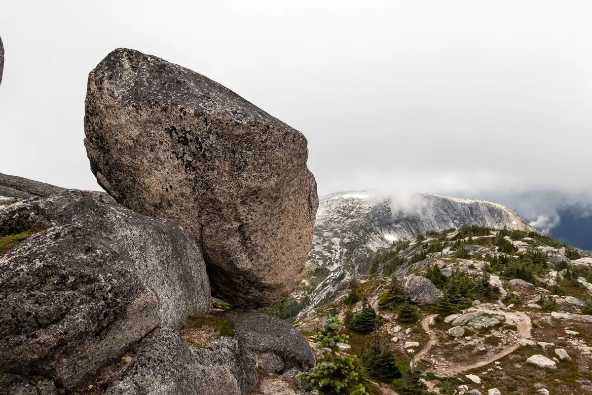
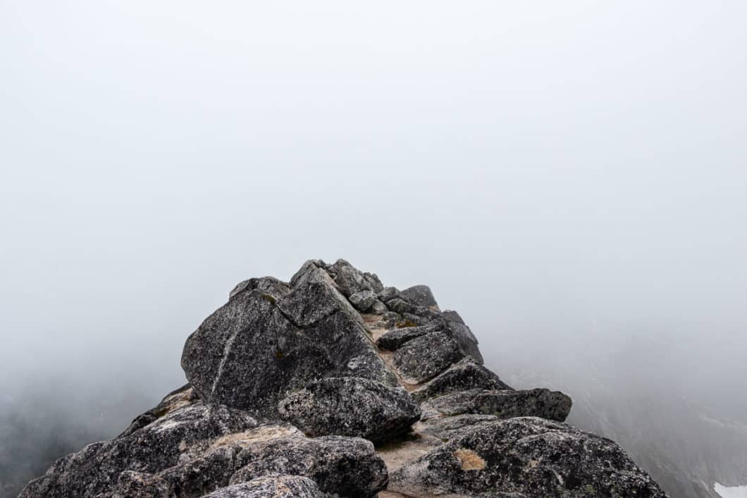
During the ascent up to Needle Peak, there are a couple sections where a slip would result in serious injury (or possibly worse). The views, even from here, are incredible and it’s not worth putting your safety at risk if you are uncomfortable with the climb.
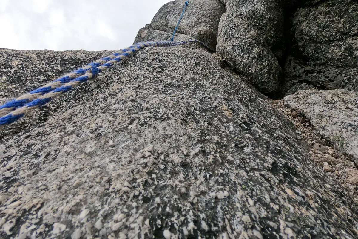
There is a section of rope to help you near the lower scramble. It will likely take you at least thirty minutes to reach the summit from the saddle as you scramble up the exposed rock.
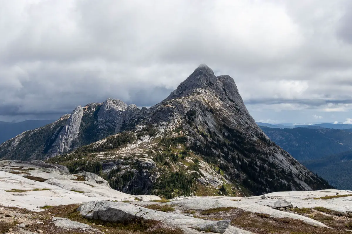
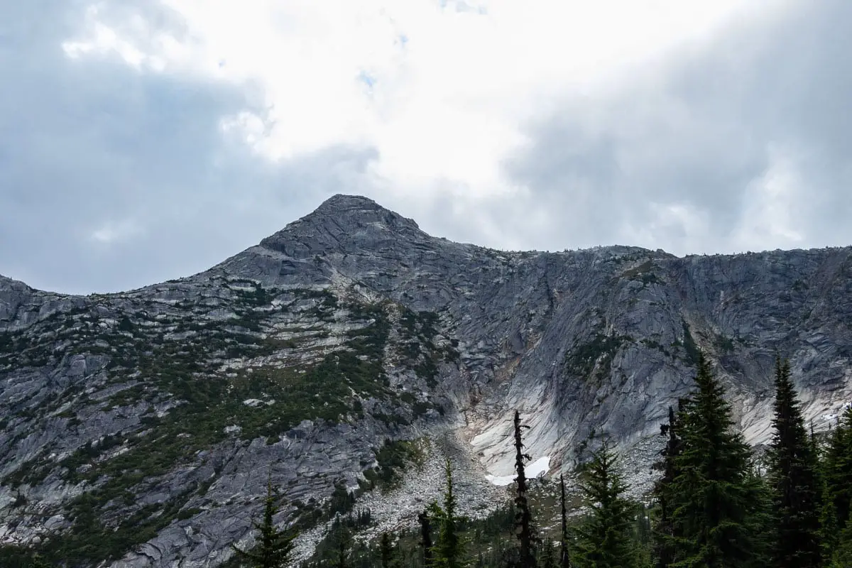
The intimidating-looking peak is directly ahead of you as you approach the summit.
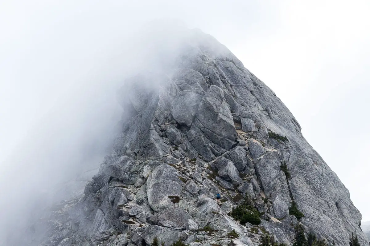
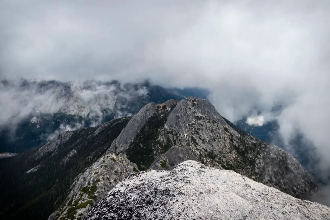
The peak is narrow, and there isn’t much space to stretch out. However, the views from the summit on a clear day are remarkable. Coquihalla Mountain, Mount Urquhart, Mount Baker, and many more can all be seen.
Enjoy the view, and carefully make your way back down towards the saddle. You can extend your hike by adding on a trip to nearby Flatiron Peak, or you can simply make the trek back down to the parking area.
Worth knowing is that when we went in the summer of 2020, there was a food truck at the westbound side of the Coquihalla Highway at the Zopkios rest area. If the food truck is open while you are there, it makes for a nice post-hike reward.
Download the PDF version of this guide for offline use
Directions and Parking
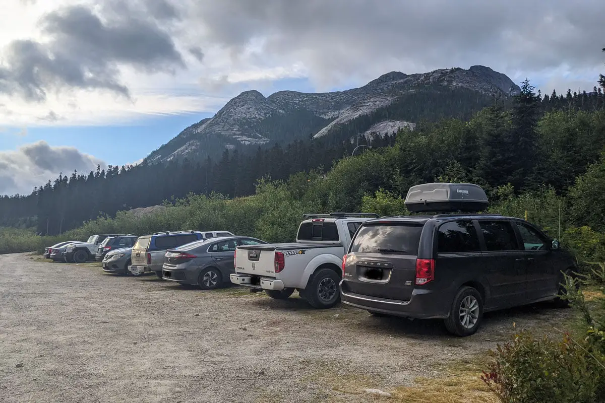
Take Highway #1 towards Hope. From Hope, continue north on Highway #5 (Coquihalla Highway).
As you reach the Coquihalla Summit, take exit #217. On your right, before taking the tunnel underneath the Coquihalla, turn right onto the dirt road. Follow the road back west a short way, and park in an available space.
Google Map directions are here.
Other great hikes in this area
- Yak Peak (moderate)
- Falls Lake (easy)
- Flatiron Peak (moderate)
- View all hiking guides here


Pete
Trail head coords are wrong: 48.478219, -123.548147 is over near Victoria
Karl W
You’re right, those were for a different hike. I’ve updated the coords, thank you for the heads up!