Othello Tunnels – Table of Contents
- Hike Introduction
- Hike Statistics
- Othello Tunnels Video
- Map and Elevation
- Hiking Route Description
- Directions and Parking
- Free PDF Download
Othello Tunnels Hike Intro
Coquihalla Canyon Park Closure Notice
This park will remain closed throughout the 2024 season due to flood damage. Read more on the B.C. Parks website.
The Othello Tunnels, near Hope, B.C., are a part of the historic Kettle Valley Railway. The Othello Tunnels have an interesting history, and were originally built in 1914. The railway was decommissioned in 1961. This particular section of the railway became Coquihalla Canyon Provincial Park in 1986.
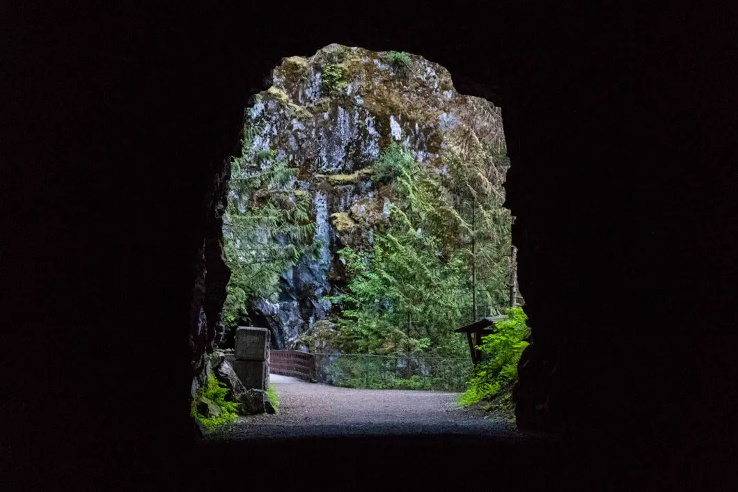
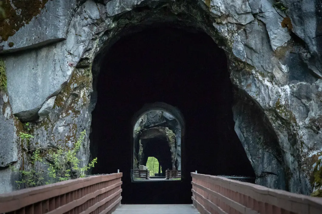
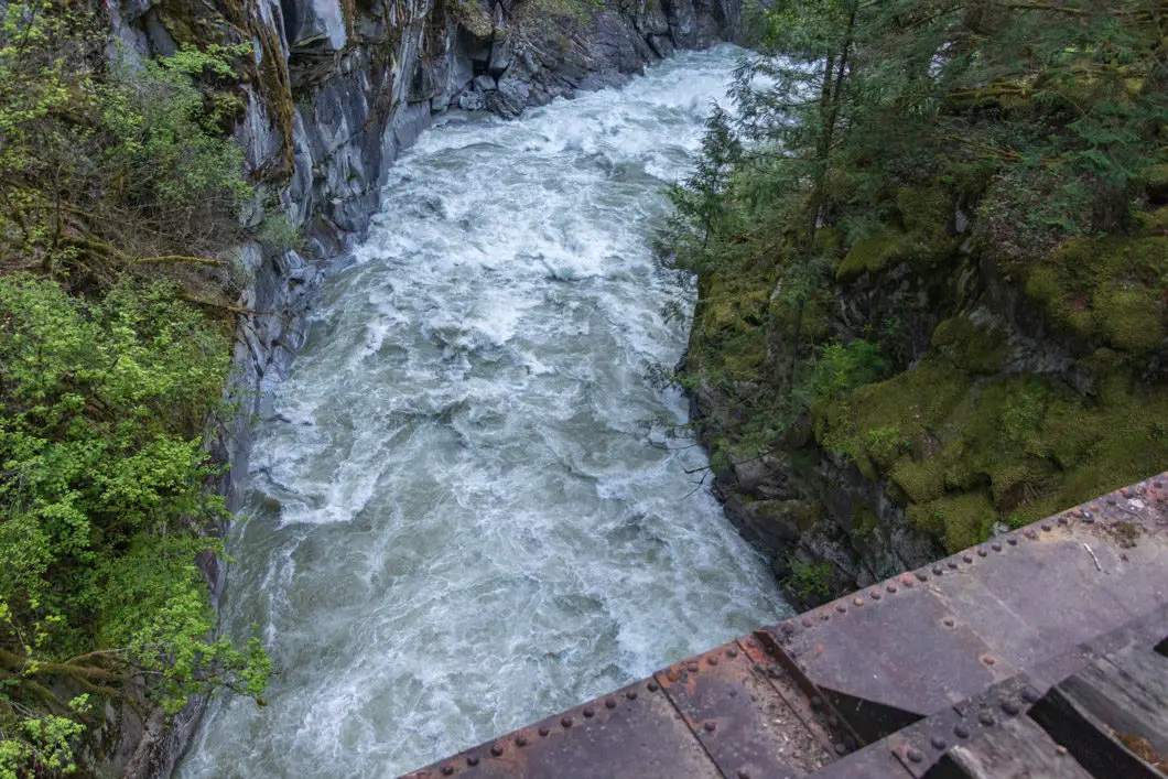
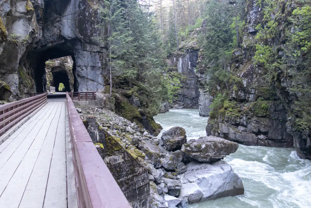
The Othello Tunnels are an engineering marvel of the early 1900s. The incredible geology of the canyon and inventive engineering of the tunnels make this a popular place to explore. The Othello Tunnels, with 5 tunnel in total, are carved through steep canyon walls. Two trestles connecting the tunnels are built over the Coquihalla River, which snakes its way thunderously through the canyon down below.
The tunnels are so-named because Andrew McCulloch, the chief engineer of the project, was a fan of Shakespeare’s plays. The tunnels have also been dubbed ‘McCulloch’s Wonder’ because of the ingenuity that went into engineering the tunnels.
There are two options to explore the tunnels. The first option is to simply head straight from the parking lot through the tunnels, and return back after passing through them all. This is a short, 3.5 km hike and the best option if you’re limited on time or with small children.
The other option is to go for a proper hike along the Hope-Nicola Valley Trail. This 6 km loop takes you through a scenic forest with a good amount of climbing. The loop finishes by coming back through the Othello Tunnels from the far end.
The route below describes doing the loop, which is what we recommend for making the most out of the lengthy drive to the Coquihalla Canyon Provincial Park. You will also have relative solitude for most of the hike, as most people only walk into the tunnels.
A flashlight is a good idea to bring – always, as part of the ten essentials – but also because a few of the tunnels are long and dark. A source of light will help you walk through them without tripping on the uneven surface.
Note: Coquihalla Canyon Provincial Park is open from April 1 to October 31. The Othello Tunnels (within the park) are closed during the winter months, because of falling ice. If you’re unsure, check the B.C. Parks’ website to see if the tunnels are open to the public.
Othello Tunnels, Hope-Nicola Trail Hike Stats
Rating: Easy
Distance: 6 km
Net Elevation Change*: 180 m
Highest Point: 360 m
Time Needed: 2 Hours
Type: Loop
Season: May – October
Dogs Allowed: Yes, on-leash
Est. Driving Time from Vancouver: 2 Hours
Trailhead Coordinates: 49.378036, -121.369781
Othello Tunnels-only Hike Stats
Rating: Easy
Distance: 3.5 km
Net Elevation Change*: Minimal
Highest Point: 180 m
Time Needed: 1 Hour
Type: Out-and-back
Season: April – October
Dogs Allowed: Yes, on-leash
Est. Driving Time from Vancouver: 2 Hours
Trailhead Coordinates: 49.378036, -121.369781
*For a better understanding of the stats and difficulty rating, check out the Hiking Guides page for details. Always carry The Essentials and fill out a trip plan.
Othello Tunnels Video
Here is a 2-minute video of our experience on this hike!
Othello Tunnels Hike Map and Elevation
Othello Tunnels
Profile
Othello Tunnels Hiking Route
The route described here is for hiking the Hope-Nicola Valley Trail in a loop and is not the simple out-and-back through the Othello Tunnels.
While you can do the loop in either direction, we recommend walking the trail counterclockwise. This will allow you to get all the uphill climbing out of the way first. You will then have a nice descent with great views down to the canyon. And the best is saved for last – as you will finish the hike by walking through the Othello Tunnels themselves.
From the parking lot, find the trailhead marker reading ‘Hope-Nicola Valley Trail’. There are outhouses nearby if needed before starting the hike.
From the sign, walk onto the wide and well-groomed trail. You will notice bright orange trail markers in the trees.
The trail is easy to follow and begins climbing immediately. You will climb uphill for the first 5 minutes or so. The trail then levels out and narrows.
The trail becomes a winding path but remains well-cleared and easy to follow, with plenty of orange markers.
500 meters into the hike, there is a junction. It is marked for the ‘KVR Junction’ at 2.8 km away. The KVR (Kettle Valley Railway) Junction is the point where you will connect to the Othello Tunnels. Go left, and shortly after the trail will begin to climb up again.
About 200 meters from the previous junction, the trail levels out again and you will reach another junction. There is a trail marker here to keep you on the correct path.
After another 200 meters, there’s yet another junction and a B.C. Parks sign. Go left at this junction, and the trail will begin to climb uphill again.
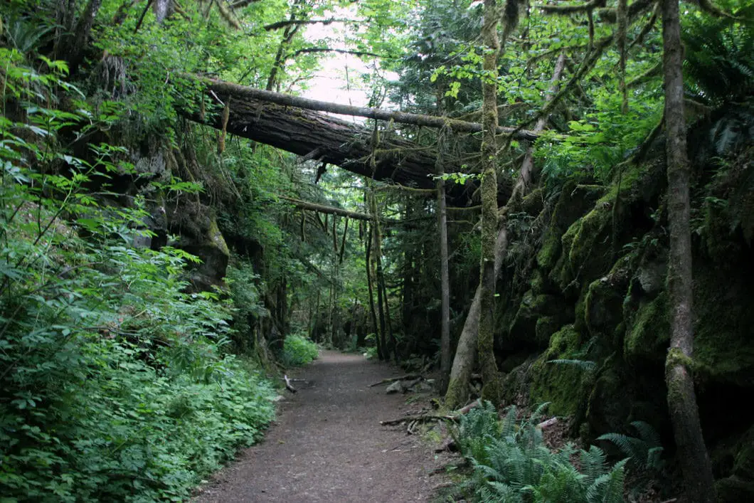
The trail rolls and continues to climb into the dense forest. The forest is filled with ferns, and maple, hemlock, and Douglas fir trees.
During the climb, there are two benches and a historic marker in one of the trees. The marker reads “Engineer’s mule road to Similkameen built fall 1860 by E. Dewdney from mile 4 on the HBC trail, between the two conical hills,to the Coquihalla River and then up the north side of the Nicolum River to the Skagit”.
Shortly after the benches, the trail begins to drop back down towards the Kettle Valley Trail. You’ll reach the top of the trail after about 2.4 km, or about 50 minutes. Once you start descending you’ll begin to hear the sounds of the Coquihalla River.
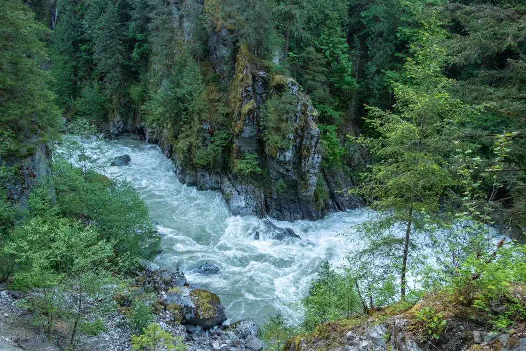
Soon, you will see the Coquihalla River and have a nice view of Hope Mountain across the valley. There is a bench here where you can rest and soak in the view.
The trail continues to drop all the way down to the KVR Junction. As you approach the Kettle Valley Trail, the Hope-Nicola Valley Trail does a sharp switchback and becomes more rugged. The final few meters down are the most technical part of the hike.
You will reach the junction which is a wide, flat road. Go left to carry on to the Othello Tunnels. The road carries on for about 700 meters before you reach the first tunnel.
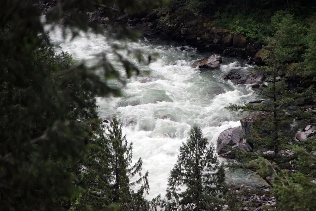
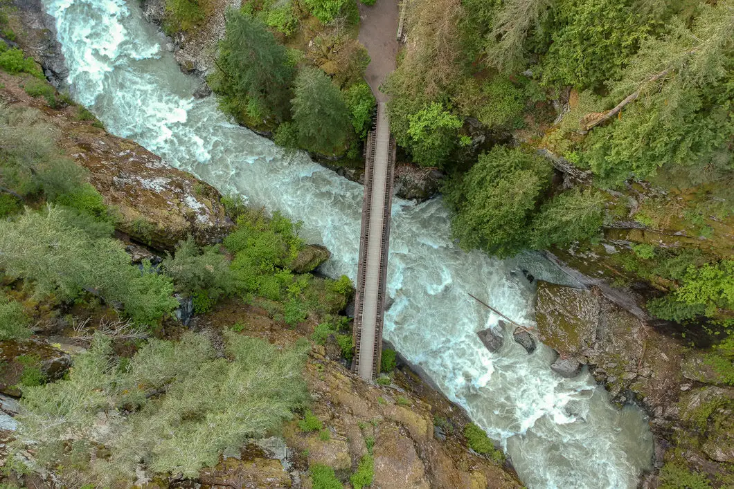
Now the real fun begins. You will cross the bridges over the incredible torrent of the Coquihalla River, and through the old tunnels themselves.
Fun fact: “In the early 1900s, the Canadian Pacific Railway decided a route was necessary to link the Kootenay Region with the BC coast by rail. The railway was built over three mountain ranges. In the Coquihalla Gorge – the river cut a 300 foot deep channel of solid granite. A straight line of tunnels were built through it which are known now as the Othello Tunnels. This park highlights the Kettle Valley Railway grade that passes through the canyon and 5 tunnels which were built in 1914. [source]
Walk through the first tunnel and you will come to one of the trestles. Standing on the trestle gives you a terrific view into the gorge on both sides, and up at the massive granite cliff walls.
Take your time, admiring the natural beauty of the canyon, and the engineering that went into constructing the railway.
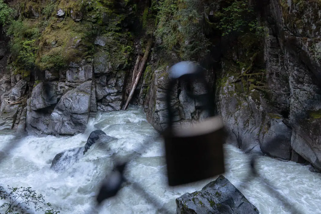
After the bridge, you will pass into the second and third tunnels. As you exit the tunnels, you will see many ‘love locks’ which have been locked onto the chain fence. The river can be seen down below.
Download the PDF version of this guide for offline use
Another short bridge gives you another chance to view the incredible force of the Coquihalla River. The heavy sound of the river rushing below a testament to its power.
Across the bridge, you will enter the fourth tunnel. On the other side, there is a brief opening. Follow the path into the fifth and final tunnel. It is a long one and brings you out onto a wide gravel road.
Once you walk through the final tunnel, just follow the gravel road for about 10 minutes to reach the parking lot again. The Coquihalla River can be seen on your right as you walk towards the parking lot.
Near the parking lot, there is a picnic area if you want to enjoy a well-earned post-hike meal.
Othello Tunnels Directions and Parking
Get on Trans-Canada Hwy/BC-1 heading east. Take exit 170 as you approach the town of Hope. Merge onto the Old Hope Princeton Highway, and head into town. Turn left on 6 ave, and quickly turn right onto Kawkawa Lake Rd. Follow the road to the lake, and when it forks, take a right onto Othello Road. Follow this winding road until you reach a T-intersection. Turn right onto Tunnels Road. There will be B.C. Parks signs for the Coquihalla Canyon Provincial Park.
Google Map directions are here.
Other great hikes in this area
- Flood Falls (easy)
- Elk Mountain (easy)
- Hope Lookout Trail (moderate)
- View all hiking guides here
Download the PDF version of this guide for offline use


Stephanie
There were no Chinese workers on the KVR railway. Canada has anti-asiatic laws in place preventing it. There are only 4 tunnels, not 5. Also, no one was killed during construction of the othello tunnels.
Karl W
Interesting. I read about the Chinese workers on this CBC article, but maybe it is inaccurate (https://www.cbc.ca/news/canada/british-columbia/othello-tunnels-coquihalla-canyon-park-1.3661844). I cannot find another source to support that. I will remove that from the post.
As for the 5 tunnels, everywhere says 5 tunnels. This site has the most detail. (https://www.historicplaces.ca/en/rep-reg/place-lieu.aspx?id=18065)