Pacific Spirit Park – Table of Contents
- Hike Introduction
- Hike Statistics
- Pacific Spirit Video
- Map and Elevation
- Hiking Route Description
- Directions and Parking
- Free PDF Download
Pacific Spirit Park Hike Intro
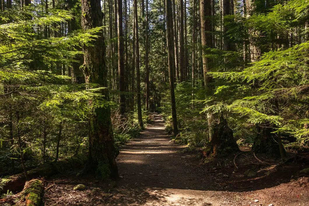
Pacific Spirit Regional Park in Vancouver offers a huge network of over 70 kilometres of hiking trails in a beautiful forest, including seven kilometres of shoreline trail on the Georgia Strait. The park is over 750 hectares in size.
Pacific Spirit Park is a paradise for hikers, joggers, and anyone wanting a dose of nature in the city of Vancouver. The park is a great place to explore any time of year and in all weather conditions. Many of the park’s trails are designated multi-use and can be enjoyed by horseback or cycling as well.
It’s also a great place for family outings and dog owners. Dogs are allowed on most trails in the park, and there are even some off-leash trails.
There is almost an endless possibility of different trail combinations you can take within Pacific Spirit Park. The route described below is just one possibility for an enjoyable outing in Pacific Spirit Park. The loop described is a large and scenic loop that covers about seven kilometres and takes roughly two hours to complete. The main trails on this route are the Top Trail, the Nature Trail, the Salish Trail, the Clinton Trail, and the Sasamat Trail.
Pacific Spirit Park Hike Stats
Rating: Easy
Distance: 7 km
Net Elevation Change*: Minimal
Highest Point: 98 m
Time Needed: 2 Hours
Type: Loop
Season: Year-round
Dogs Allowed: Yes, on leash
Est. Driving Time from Vancouver: 30 Minutes
Trailhead Coordinates: 49.249318, -123.204914
*For a better understanding of the stats and difficulty rating, check out the Hiking Guides page for details. Always carry The Essentials and fill out a trip plan.
Pacific Spirit Park Video
Here is a 3-minute video of our experience on this hike!
Pacific Spirit Park Map
Pacific Spirit Park
Profile
Pacific Spirit Regional Park Hiking Route
From the parking area (directions), there’s a signboard with a park map and an outhouse available. To begin the hike, we’ll cross the road to begin our loop. There is a trail on the right-hand side of Imperial Road, which you can follow for about 100 metres. You will then be able to cut across the road again to get onto the Top Trail. Top Trail is a wide, well-groomed, double-track path. All the trails we’ll be on today are similar in this regard. The initial stretch of trail here is less scenic than the other trails that come afterward, and the tree cover here is sparse.
After about ten minutes, you’ll come to a junction with the Huckleberry Trail. There is a trail sign here (as there are at most junctions in the park). Keep walking straight to stay on Top Trail.
You’ll come to another junction with a dirt road. There’ll be a field on your left. Go straight, across the road. There’s a marker there for Top Trail, and you’ll see where the trail continues.
Within another minute, you’ll cross over Sasamat Trail. Continue straight ahead to stay on Top Trail.
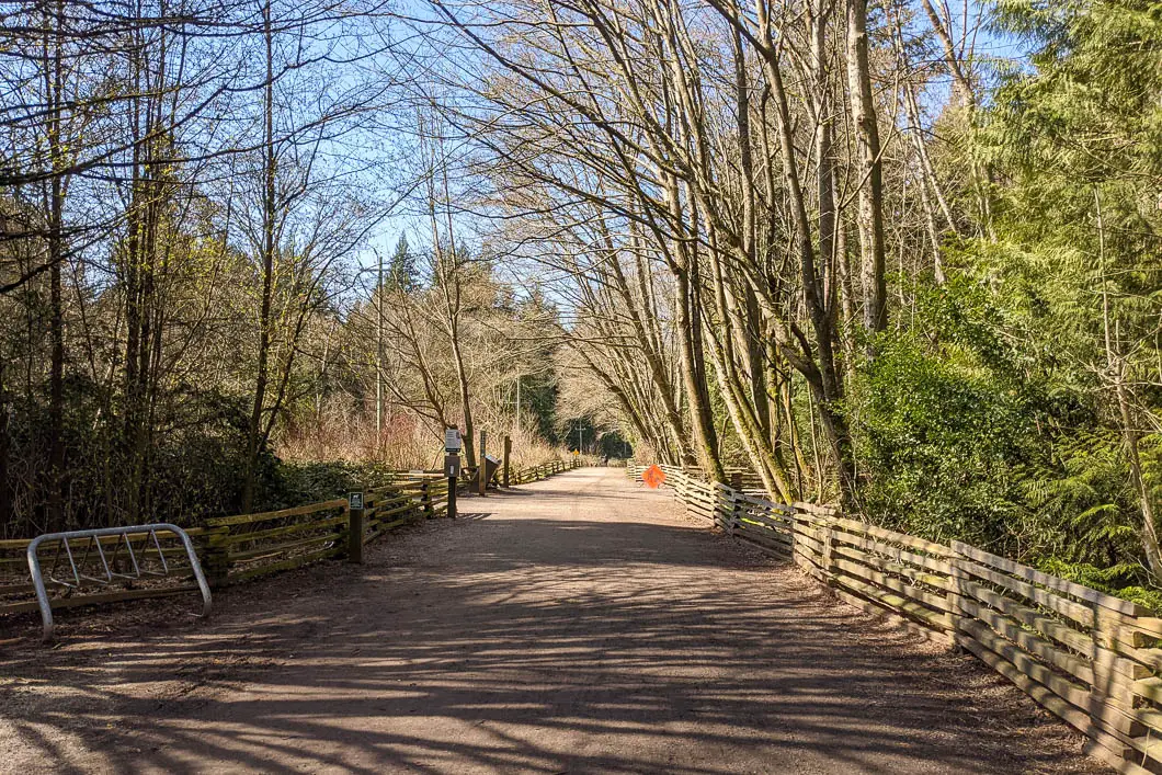
After another minute, you’ll come out to West 16th Avenue. Head left and walk down the side of the road for about a hundred meters. You’ll see a trail marker on your left to get back into the park and onto the Nature Trail. There’s a wide gravel path and the trail here is more heavily forested, with larger trees.
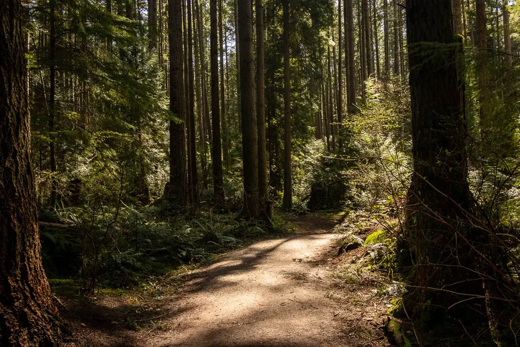
Following the trail, it will descend slightly, and you’ll come to a junction. Going left is marked for the Deer Fern Trail and there is a bench there. Stay to the right, on the Nature Trail.
After another minute, you’ll pass another junction on your right for the Cleveland Trail.
Shortly after, you’ll come to a T-junction with the Hemlock Trail. Here, you will go right. At the next junction, go left to get onto the Salish Trail, which will stay on for a long time.
You’ll pass a junction with the Council Trail. Stay straight on the Salish Trail.
Next, you’ll come to a T-junction with the Imperial Trail. The Imperial Trail is a wide, gravel trail with a fence on the left-hand side. You’ll be walking underneath a power line. The next trail on your right-hand side is where the Salish Trail continues, so get back on that, heading south once again.
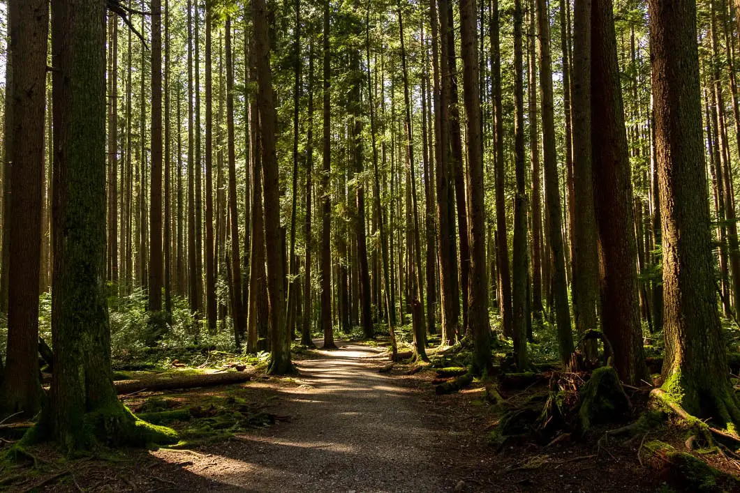
This stretch of trail is exceptionally scenic, as you continue to follow the Salish Trail. The forest here is full of second growth Douglas fir trees. There are no junctions on this nice stretch of trail.
There are signs here pointing out that it is a particularly ecologically sensitive area, and that dogs and people should keep on the trail.
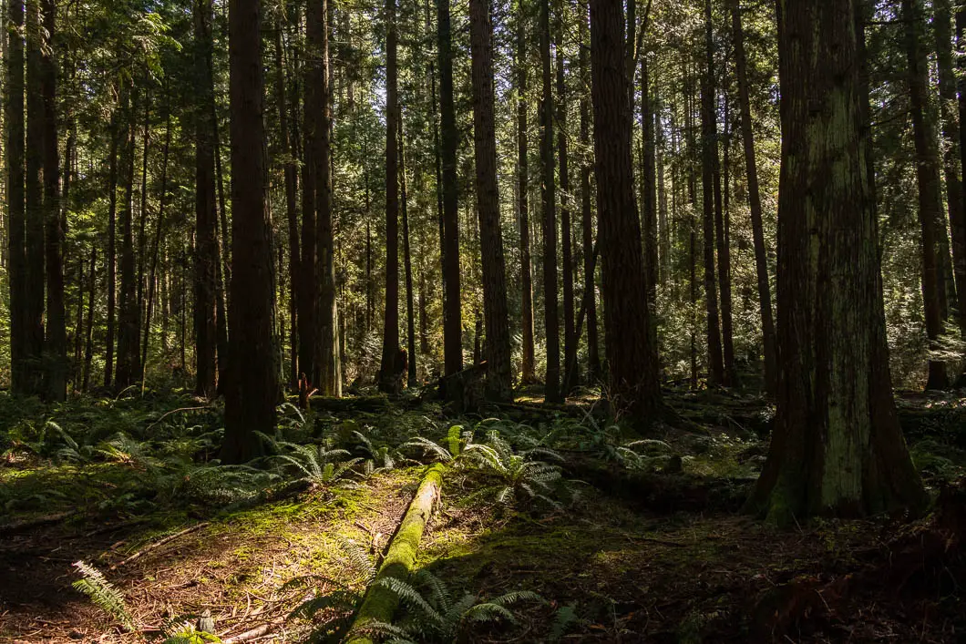
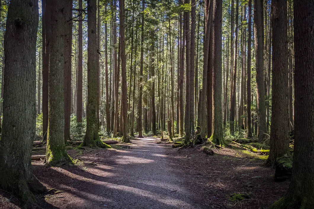
Eventually, you’ll come out to Southwest Marine Drive and the trail will curve to the left. Here, you will reach a large four-way junction. Straight is marked for Camosun Street. We’re going to go left, onto the Clinton Trail.
You’ll walk up a steep hill, and then you’ll come to another major junction. There is a bench here. At this junction, go left onto the Sasamat Trail. This is the final trail we will take back to complete the loop and end up back at the parking area.
After a few minutes, you will come to a junction with the Hemlock Trail. Stay to the right to stay on Sasamat Trail.
The trail will wind its way up for about 10 more minutes. Soon, you’ll be back at the main junction where you began the hike, completing the loop!
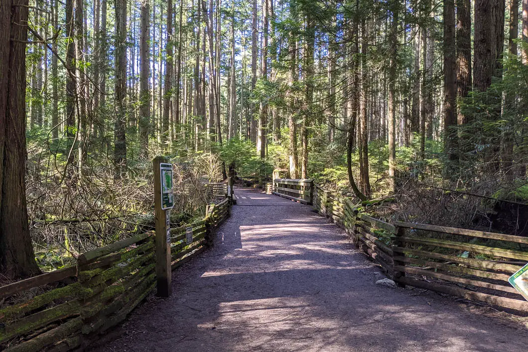
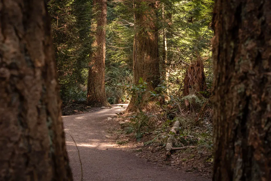
Download the PDF version of this guide for offline use
Directions and Parking
From Vancouver, take W 16th Ave due west. Turn left on Imperial Drive.
At a hairpin corner, where Imperial Drive connects with W. 29th Ave, you will find free, street parking available.
Google Map directions are here.
Other great similar hikes
- Rice Lake (easy)
- Burnaby Mountain (moderate)
- Kanaka Creek (easy)
- View all hiking guides here


