Pender Hill – Table of Contents
- Hike Introduction
- Hike Statistics
- Pender Hill Video
- Map and Elevation
- Hiking Route Description
- Directions and Parking
- Free PDF Download
Pender Hill Hike Intro
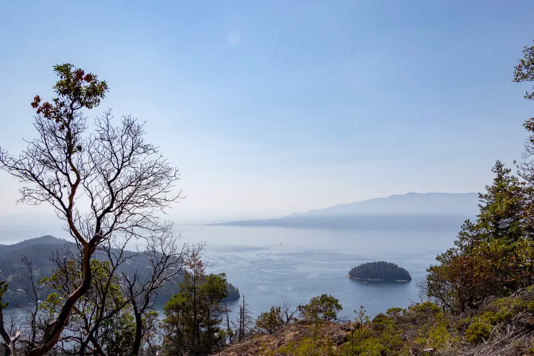
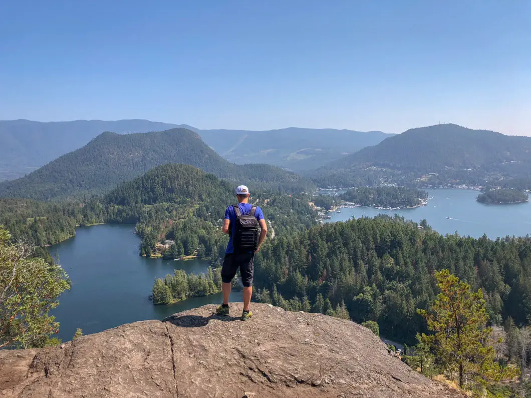
Pender Hill is a short hike on the Sunshine Coast that leads to a beautiful lookout over Pender Harbour and the Malaspina Strait. It is one of the most recommended hikes on the Sunshine Coast.
From the lookout, you can see the surrounding mountains, the ocean, and watch seaplanes taking off and landing.
It is a quick hike, yet steep enough to get the heart rate going. The views are magnificent, and the entire hike can be completed in around an hour – making it a terrific option for a quick but rewarding outing.
There are many bald eagles around, and in the spring there are wildflowers along the trail.
The open, rocky area of the summit provides breathtaking, panoramic views, and is a terrific spot to enjoy a meal. So if you have the time, bring a picnic!
Pender Hill Hike Stats
Rating: Easy
Distance: 2 km
Net Elevation Change*: 165 m
Highest Point: 223 m
Time Needed: 1 Hour
Type: Out-and-back
Season: Year-round
Dogs Allowed: Yes
Est. Driving Time from Vancouver: 4 Hours
Trailhead Coordinates: 49.642460, -124.061832
*For a better understanding of the stats and difficulty rating, check out the Hiking Guides page for details. Always carry The Essentials and fill out a trip plan.
Pender Hill Video
Here is a 1-minute video of our experience on this hike!
Pender Hill Hike Map and Elevation
Pender Hill
Profile
Description
Pender Hill Lookout
Description
Pender Hill Hiking Route
From the parking lot, the trailhead is clearly marked with a large sign.
As you begin the hike, the trail is flat for the first 250 meters, and then it begins to climb uphill.
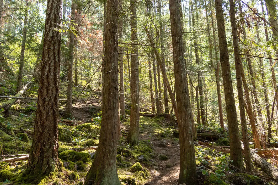
The trail is well maintained and clear of debris. There are some exposed tree roots, and large rocks, but overall, the footing isn’t difficult. The trail is easy to navigate all the way to the top, despite a lack of trail markers.
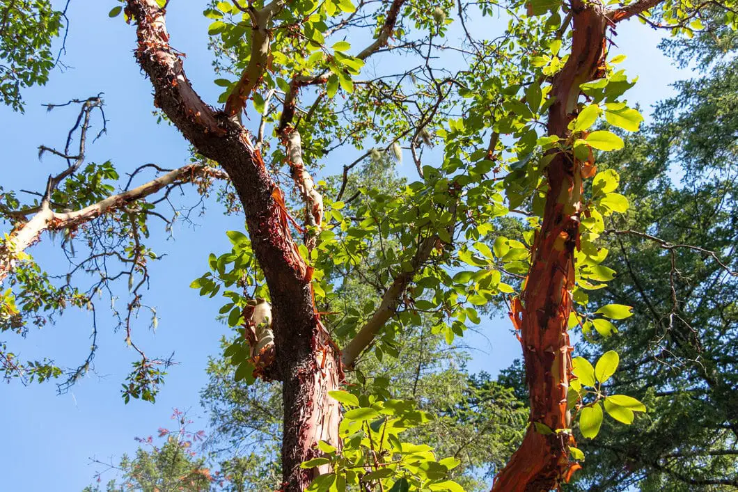
The trail is heavily forested until you reach the top. Some sunlight makes its way through the trees, but much of the trail is shaded. Beautiful arbutus trees can be found along the hike up, and also at the summit.
As you climb, there are a few short sections with bigger rocks where you may need to use your hands.
Continue to follow the trail, and scramble your way up to the top. As you approach the summit, you will come to a clearing with a partial view of Hotel Lake to the east through the trees. This is just a preview of the final vista.
There is a split in the trail as you approach the summit, but you can go in either direction as they connect again.
The trail cuts back into the trees and makes one short, final climb. As you approach the summit, you will see a few small cairns on the rocky, open peak.
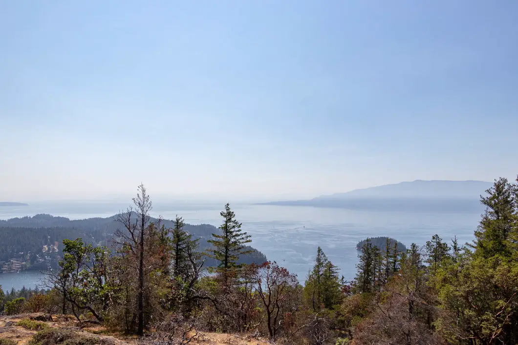
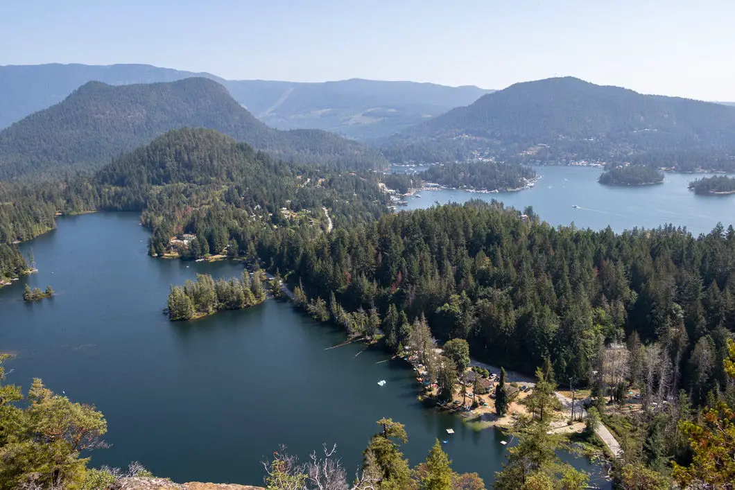
From the top, you can see Pender Harbour, its marina, and the surrounding houses. To the west, you have a view of Malaspina Strait and Texada Island.
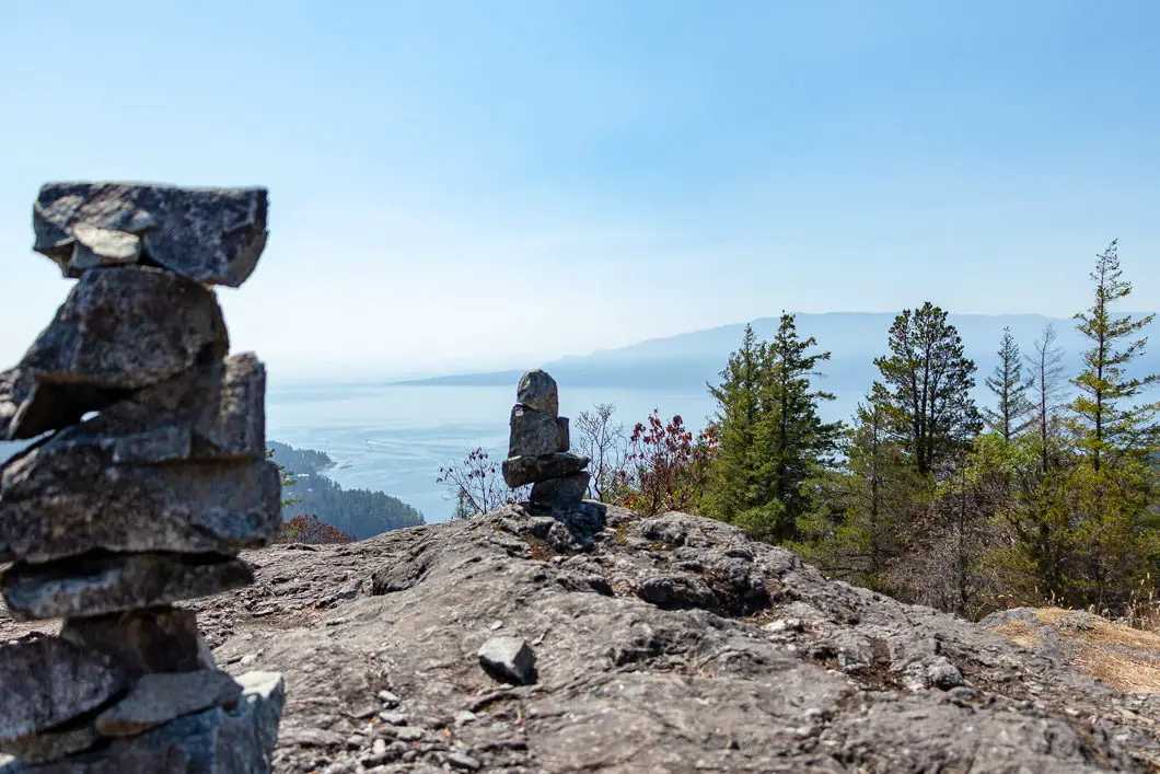
You can climb down from the summit/ cairns and head to the east to get a better view of Hotel Lake and Pender Harbour.
Mount Daniel can be seen situated behind Hotel Lake, in Garden Bay Provincial Park.
After you’ve soaked up the beautiful views, retrace your steps back to the parking lot.
Cool fact: “Before the first Europeans discovered the area, a vibrant population of First Nations equaled or doubled its current number of inhabitants. Sex’wamin, the Shishalh winter settlement centred on Garden Bay, was likely one of the largest on the British Columbia coast. It is estimated that over 5,000 First Nations people lived in longhouses on the shore near where the Garden Bay Hotel now sits.” [Source]
Download the PDF version of this guide for offline use
Directions and Parking
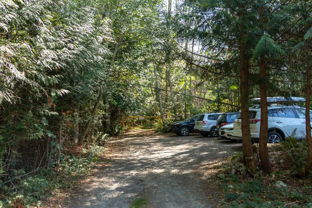
From Vancouver, take the Horseshoe Bay – Langdale ferry.
From Landale, for over an hour, take Sunshine Coast Hwy/ BC-101 N to Garden Bay Rd in Garden Bay.
At Pender Harbour, at the Petro Canada gas station, turn left on Garden Bay Rd. After 7 kms, Garden Bay Rd. will turn into Irvine’s Landing Rd. Soon, Irvine’s Landing will turn into Lee Bay Rd.
After 1 km, turn right onto Coastview Dr. The parking lot is immediately on the left.
Google Map directions are here.
Other great hikes in this area
- Mount Gardner (moderate)
- Mount Elphinstone (moderate)
- Smuggler Cove (easy)
- View all hiking guides here
Download the PDF version of this guide for offline use
