Seton Lake Lookout – Table of Contents
- Hike Introduction
- Hike Statistics
- Seton Lake Lookout Video
- Map and Elevation
- Hiking Route Description
- Camping nearby
- Directions and Parking
- Free PDF Download
Seton Lake Lookout Hike Intro
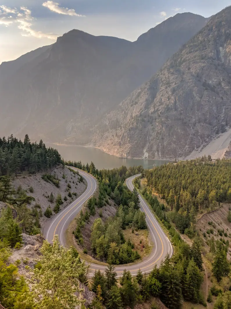
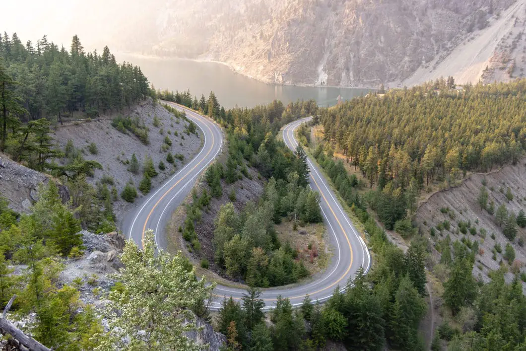
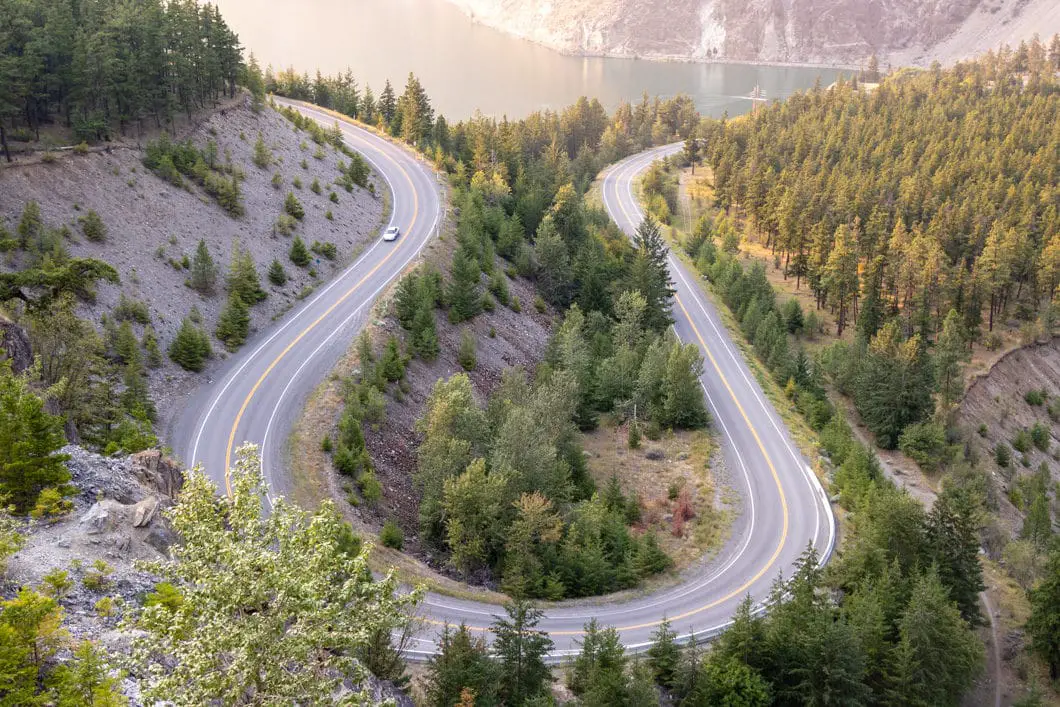
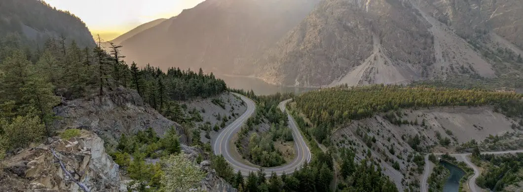
The Seton Lake Lookout (sometimes called the Lulu Lookout), in Lillooet, is a popular spot to stop by and grab a photo of the U-shaped Duffy Lake Road in the foreground of Seton Lake.
The drive to Lillooet along the Duffy Lake Road is stunning and makes for a fun road trip. The viewpoint over the Duffy Lake Road, and of (a tiny portion of) Seton Lake, is also stunning. But, as a hike in itself, a trip to the Seton Lake Viewpoint probably isn’t worth driving all the way from Vancouver to tackle. It’s a quick walk to reach the lookout and doesn’t really pass the bar of being called a ‘hike’.
That said, if you are camping any of the nearby campsites, or happen to be driving by, then it’s absolutely worth a quick stop to soak in the view from the lookout.
Seton Lake Lookout Hike Stats
Rating: Easy
Distance: 1.2 km
Net Elevation Change*: 24 m
Highest Point: 394 m
Time Needed: 30 minutes
Type: Out-and-back
Season: Year-round
Dogs Allowed: Yes
Est. Driving Time from Vancouver: 4 Hours
Trailhead Coordinates: 50.662405, -121.990890
*For a better understanding of the stats and difficulty rating, check out the Hiking Guides page for details. Always carry The Essentials and fill out a trip plan.
Seton Lake Lookout Video
Here is a 1-minute video of our experience on this hike!
Seton Lake Lookout Hike Map and Elevation
Seton Lake Lookout
Profile
Seton Lake Lookout Hiking Route
From the pullout (directions), carefully cross the road and climb up the small embankment. Through the trees, you should be able to find the trail. Head left. The trail is flat for the first few minutes.
After a few minutes, you’ll come to an overlook of the road, from the side of the U-shaped curve. The trail will bend to the right, following alongside the road.
The trail now climbs steeply for a minute. At the top of the hill, follow the trail to the left (ignore the trace of a trail that goes right, and make sure you don’t go that way on your way back down).
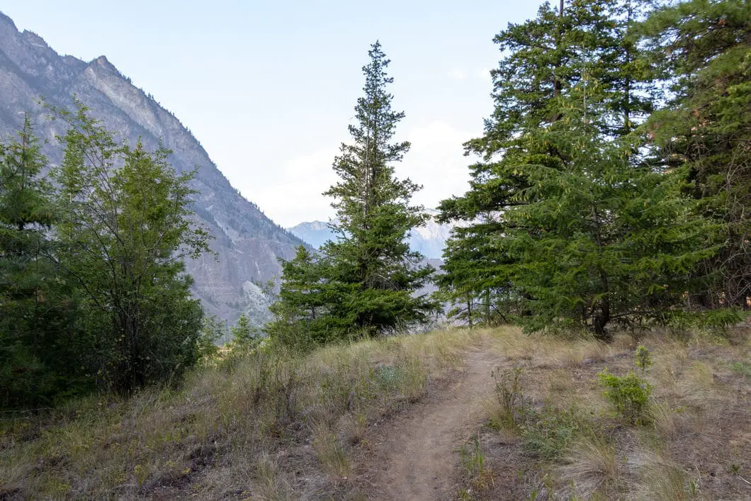
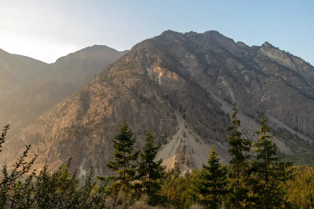
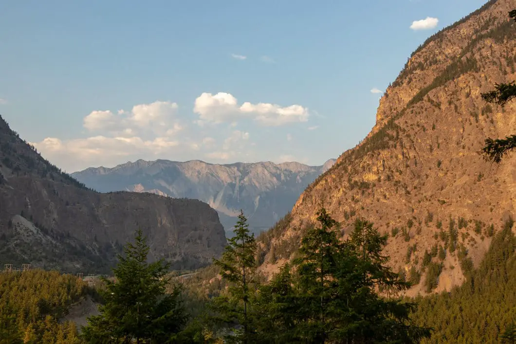
The trail will climb uphill for a few more minutes. You will get some nice views of the nearby mountains and a partial view of Cayoosh Creek rambling down below.
Soon, you’ll come to the awesome viewpoint of Seton Lake. Be careful, and don’t get too close to the edge as the dry rocks can be loose.
Soak it in and retrace your steps back to your car when you’re ready.
Cool fact: “Seton Lake is a freshwater fjord draining east via the Seton River into the Fraser River at the town of Lillooet, British Columbia, about 22 km long and 243 m in elevation and 26.2 square kilometres in area. Its depth is 1500 feet”. [source]
Download the PDF version of this guide for offline use
Camping near Seton Lake
A dam on the lake is managed by BC Hydro as part of the Bridge River hydroelectric complex. BC Hydro maintains a free, first-come-first-serve campground near the lake. The Gun Creek campground is also nearby and managed by BC Hydro.
Details about the Seton Dam and Gun Creek campgrounds can be found here.
If those are full, BC Sites and Trails offers a few low-cost campgrounds nearby along the Duffy Lake Road. They are the Cinnamon, Cottonwood, Gott Creek, and Rogers Creek campgrounds. Details here.
Directions and Parking
From Vancouver, head north on the Sea to Sky Highway (BC-99) towards Pemberton.
You will follow the highway all the way to the viewpoint. As you approach Seton Lake, there is a pullout just before you reach the hairpin turn in the road. If you drive around the hairpin loop, you’ve gone too far and need to turn around.
Park in the pullout and find the trailhead on the other side of the road.
Google Map directions are here.
Download the PDF version of this guide for offline use
