Smoke Bluffs Hike – Table of Contents
- Hike Introduction
- Hike Statistics
- Smoke Bluffs Video
- Map and Elevation
- Hiking Route Description
- Directions and Parking
- Free PDF Download
- 360° Photosphere
Smoke Bluffs Hike Intro
The Squamish Smoke Bluffs Park has a network of trails used to access different rock-climbing routes. There are over 400 granite climbing routes within the park! But the trails within the Smoke Bluffs also make for a fantastic hike.
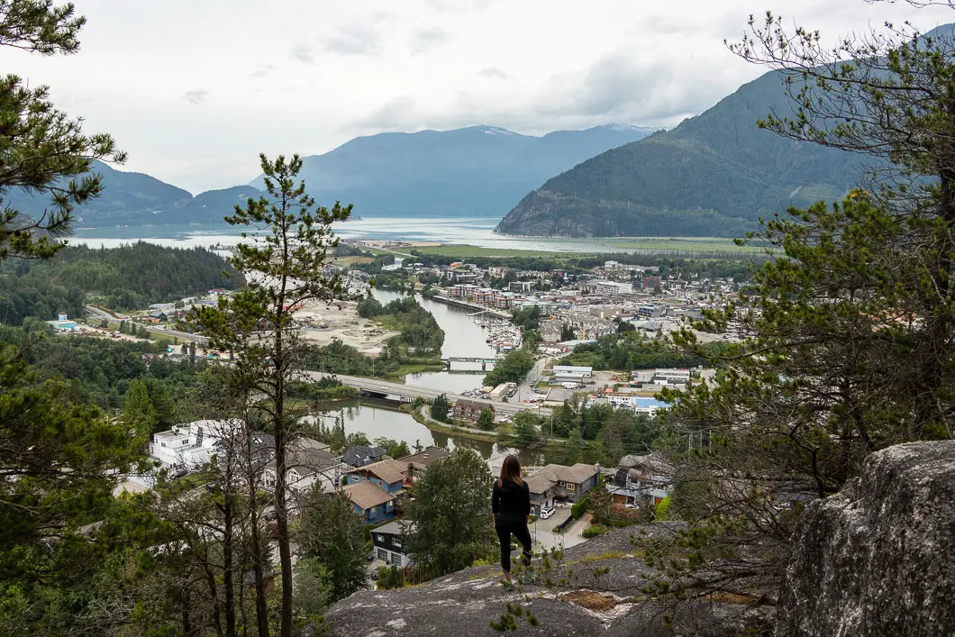
Smoke Bluffs Park, established in 2006, has scenic and peaceful trails which offer great lookouts over Squamish and Howe Sound.
The trails are kid-friendly, and because there are a variety of trails to choose from, you can make the hike shorter or longer based on your mood.
The route described below takes us on a loop around the outer perimeter of the trail network, with a worthwhile detour along the Viewpoint Trail.
Cool fact: Originally known as Bughouse Heights, it became Smoke Bluffs in 1953 when a forest fire smoldered for a long time. [Source]
Squamish Smoke Bluffs Hike Stats
Rating: Easy
Distance: 3.5 km
Net Elevation Change*: 198 m
Highest Point: 207 m
Time Needed: 1.5 Hours
Type: Loop
Season: Year-round
Dogs Allowed: Yes, on leash
Est. Driving Time from Vancouver: 1 Hour
Trailhead Coordinates: 49.709388, -123.142134
*For a better understanding of the stats and difficulty rating, check out the Hiking Guides page for details. Always carry The Essentials and fill out a trip plan.
Smoke Bluffs Video
Here is a 3-minute video overview of our experience hiking the Smoke Bluffs Loop!
Smoke Bluffs Loop Hike Map and Elevation
Smoke Bluffs Park
Profile
Smoke Bluffs Loop Hiking Route
From the parking lot (directions), there is a trail map and information board. Walk onto the Smoke Bluffs Trail marked for pedestrians (there’s a separate trail for bikes here).
On your left, after a few minutes, you’ll see a path that leads to a large rock wall on your left. Stay on the main trail, and you’ll pass by a few more paths like this, and likely see rock climbers scaling the rock wall.
You’ll come out joining where the pedestrian path splits from the bike path. Go left, onto the path at this junction. The trail, a wide gravel path, heads slightly uphill. The Smoke Bluff Wall will continue to be on your left. You can ignore the trails on your left, which leads to the base of climbing routes.
After about 10 minutes or 600 m, you’ll come to a children’s playground. There will be another park map here showing all the climbing routes and the trails in the park.

The trails are marked with green signposts. Get on to the Loop Trail by finding the junction for it just beyond the playground along the main path. Go left, onto the Loop Trail (also marked for Pixie Corner and Viewpoint Trail).
The trail climbs up steeply for a few minutes and comes to a junction. You can either go left to stay on the Loop Trail or go right to get onto the Viewpoint Trail. We’re going to go right and check out the Viewpoint Trail, which is about a 20-minute detour.
The trail climbs up and will become narrower and rockier. Almost immediately, there will be another junction. Stay right again. You’ll see a small marker for the Viewpoint Trail.
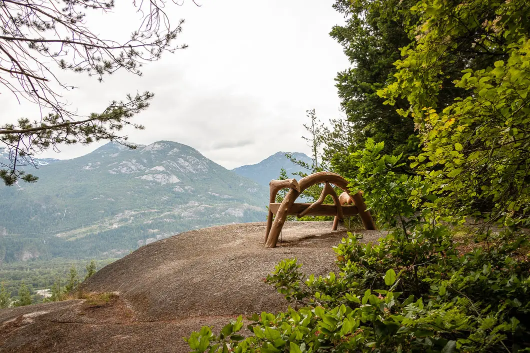
You will come to another split. Stay to the right, walking away from the rock wall. On the right, you’ll see the trees open up and you’ll be heading towards a clearing by the first lookout. Soon, you’ll see a bench perched on a rocky outcrop, overlooking Squamish and Howe Sound.
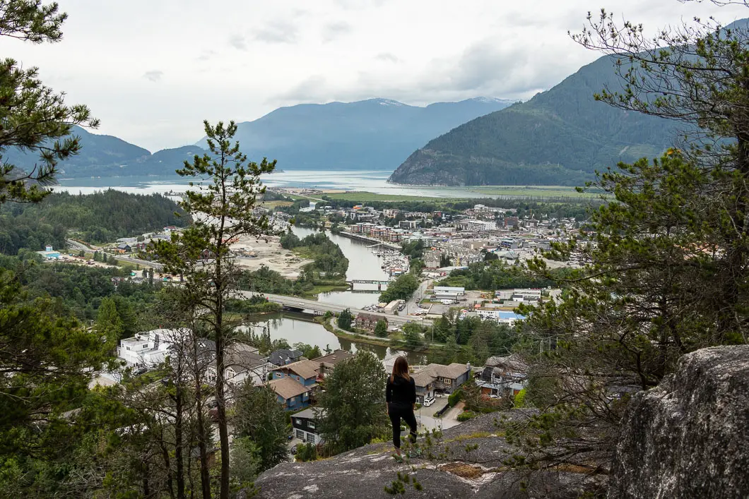
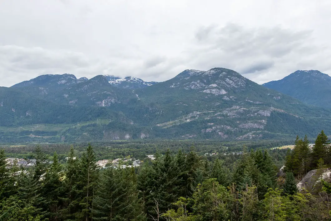
Across the valley, you can see the southern end of the Tantalus Range, including Mount Murchison and Mount Lapworth.
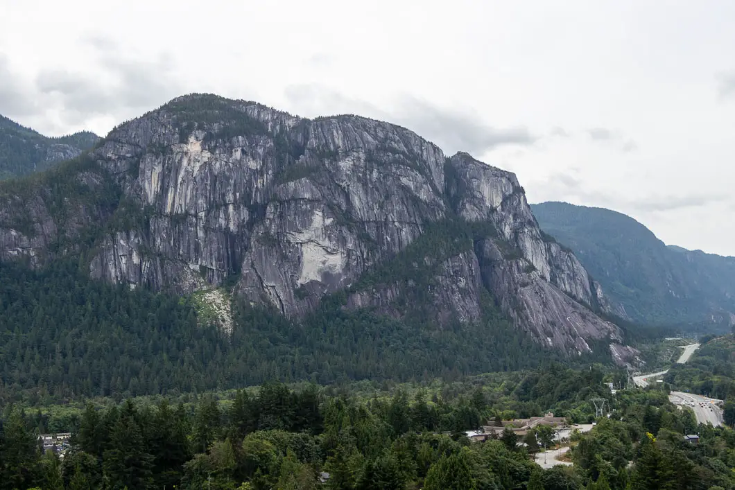
From the lookout, continue following the trail, and you’ll come to another lookout. Here, you have a more open view of Howe Sound and the Squamish Spit. You can also see The Stawamus Chief through the trees on your left.
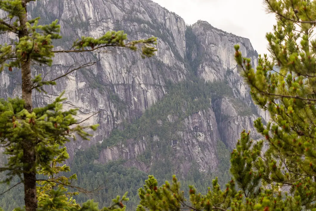
Moving along the trail, you’ll soon come to a third lookout. All three lookouts are close to each other. This viewpoint has the best view of The Chief and it’s impressive granite walls. You can also see the residential neighborhood below.
Next, you’ll come to a marker in a tree that directs you to Ronin’s Corner, Penny Lane, and the Viewpoint Trail Loop to Pink Cliff. Keep following the trail to make a loop to where the Viewpoint Trail began.
Follow the trail, you’ll come to a rock wall and a junction. On your right, there is a set of stairs. Go left, following the rock wall back towards the Loop Trail.
The trail has orange markers in the trees and it will just be a minute or two before you’ll be back at the Loop Trail junction. From here, go right and carry and carry along the Loop Trail.
There will be another junction marked for Lumberjack and beyond to the Crystal Ball and parking lot. Stay to the right, following the Loop Trail towards Octopus Garden.
There’s a series of small, short switchbacks as the trails zigzags up. This is the steepest part of the hike as you approach the Octopus Garden.
As you climb up, you’ll pass another bench and a lookout area with a similar vantage point as before.
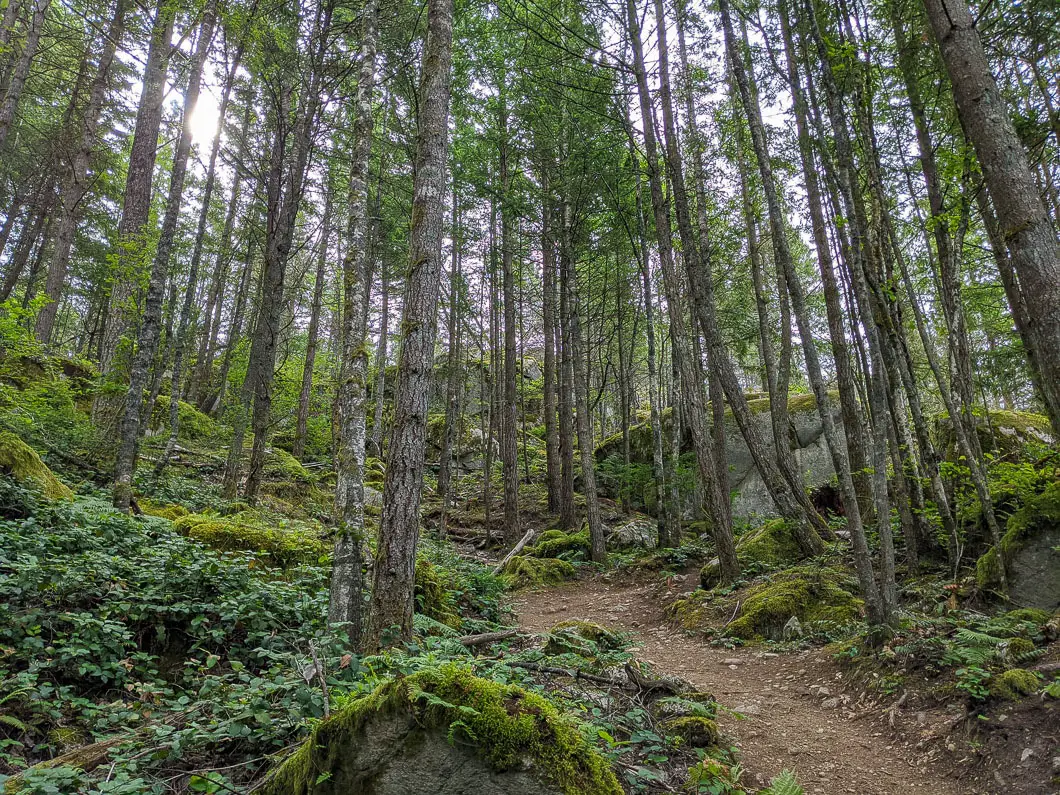
There will be a few more junctions, but they are well-marked for the Loop Trail. You’ll come to a junction where there’s an outhouse and you can split onto the Lower Loop trail or the Upper Loop Trail. We’re going left, onto the Upper Loop Trail, but you can go right if you want to shorten your hike a little.
Follow the Upper Loop Trail around Octopus Garden until it starts dropping back downhill.
On the way back down, you’ll pass by more junctions, but they’re not all marked. There are several trails you can take back to the playground. As long as you’re heading downhill and watching for markers at junctions, you’ll be able to find your way.
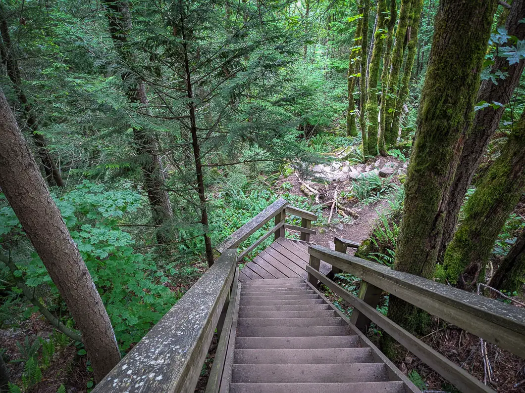
Stay to the right when you come to a major junction at an open area with a viewpoint of the Chief. You’ll come to a large, steep set of wooden stairs.
At the bottom of the stairs, you’ll come to a large junction. There’s a sign here. Go right, following the direction marked for the Loop Trail. The trail will be more or less level here.
Soon, you will come to the residential area. Stay on to the gravel path, to the right. You’ll pass by a cul-de-sac on your left.
It’s just a few more seconds to reach the playground where you started the Loop Trail. From here, retrace your steps back to the parking lot.
Download the PDF version of this guide for offline use
Directions and Parking
From Vancouver, take the Sea to Sky Highway north towards Squamish.
At the main intersection at downtown Squamish, take a right onto Loggers Lane. Follow Loggers Lane until you come to a crosswalk and a sign for Smoke Bluffs Park. Turn right, into the parking lot, and you’ll be able to find the trailhead.
Google Map directions are here.
Other great hikes in this area
- Stawamus Chief (moderate)
- Murrin Park (moderate)
- Crooked Falls (moderate)
- View all hiking guides here


