Smuggler Cove – Table of Contents
- Hike Introduction
- Hike Statistics
- Smuggler Cove Video
- Map and Elevation
- Hiking Route Description
- Directions and Parking
- Free PDF Download
Smuggler Cove Hike Intro
Smuggler Cove Marine Provincial Park is a beautiful coastal area on the Sunshine Coast. Smuggler Cove is located near Halfmoon Bay, just north of Sechelt.
The park offers a few short but beautiful hiking trails culminating in incredible ocean views. A large wetland area along the trail offers good birding. Scuba diving, swimming, and kayaking are also popular activities at Smuggler Cove, in addition to hiking.
If you’re driving north on the Sunshine Coast Highway, Smuggler Cove is the perfect place to stop and spend a few hours exploring some beautiful coastal scenery.
Cool fact: “During Prohibition (1920 to 1933) Smuggler Cove was used as a safe haven by rum-runners. They used ships to transport Texada Island alcohol to thirsty destinations in the United States.” [Source: BC Parks interpretive sign]
Smuggler Cove Hike Stats
Rating: Easy
Distance: 4 km
Net Elevation Change*: 0 m
Highest Point: 27 m
Time Needed: 1.5 hours
Type: Out-and-back
Season: Year-round
Dogs Allowed: Yes, on leash
Est. Driving Time from Vancouver: 3 hours
Trailhead Coordinates: 49.511415, -123.949048
*For a better understanding of the stats and difficulty rating, check out the Hiking Guides page for details. Always carry The Essentials and fill out a trip plan.
Smuggler Cove Video
Here is a 4-minute video of our experience on this hike!
Smuggler Cove Hike Map and Elevation
Smuggler Cove
Profile
Smuggler Cove Hiking Route
From the parking area (directions), you will find a park map and signboard. There is also an outhouse here. Find the trailhead and begin walking down the wide, double-track trail. The trail is well-groomed and will descend slightly. After a few minutes, you’ll come to a boardwalk over a marshy area. You may spot beavers busy at work in this area.
You will cross over another, longer boardwalk before the trail carries into the trees. The wetland will now be contained to your left. If you spend some time lingering in this area, you can spot many species of birds, including the unique Hooded Merganser. There are interpretive signs here that will help you identify some of them.
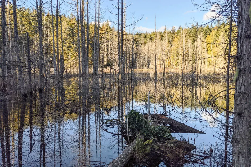
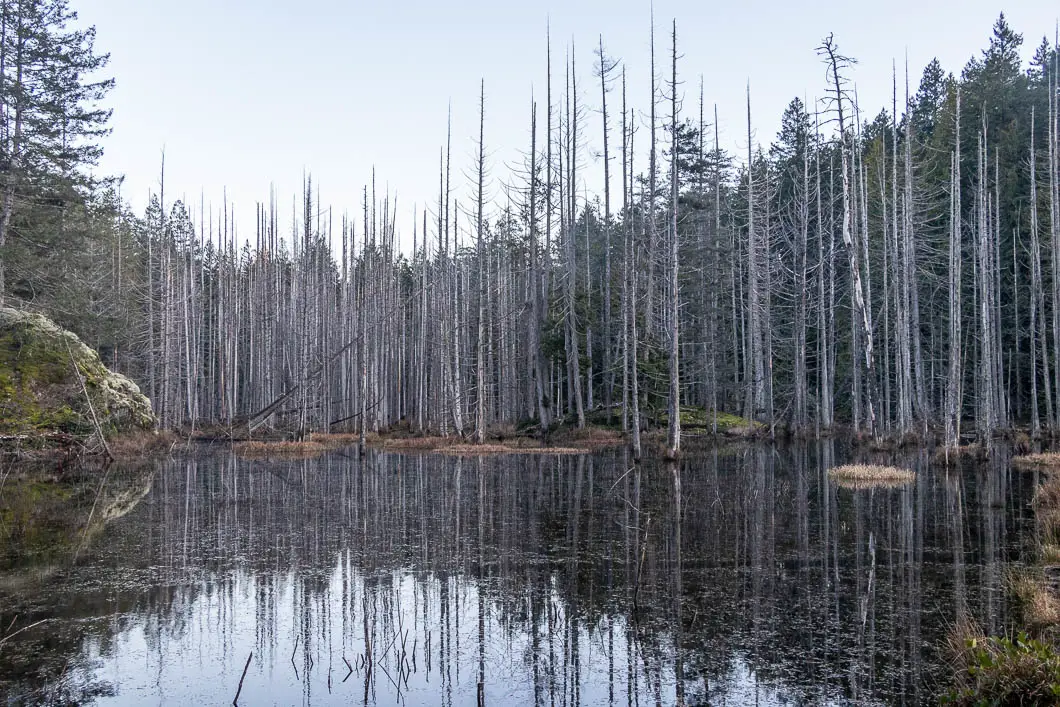
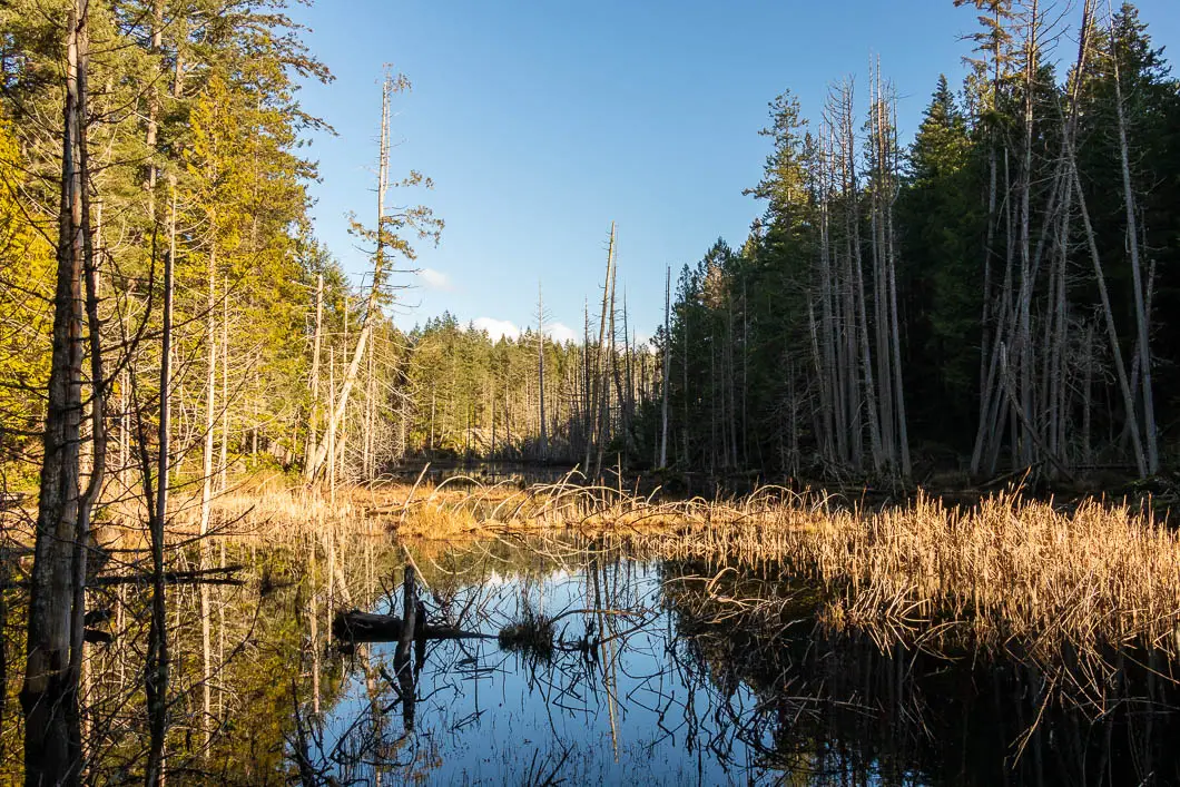
After about 20 minutes, or a little more than one kilometre, you’ll come to Smuggler Cove itself. There’s a split in the trail here. Both trails lead to different lookouts over the ocean. We’ll explore both trails, but first, we’ll explore the trail on the right which hugs Smuggler Cove.
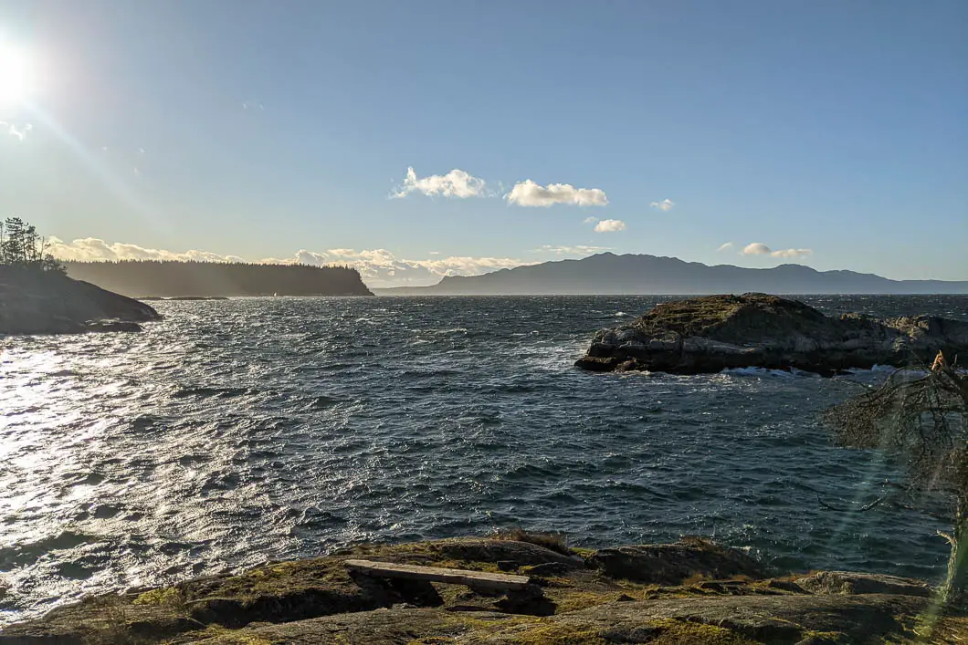
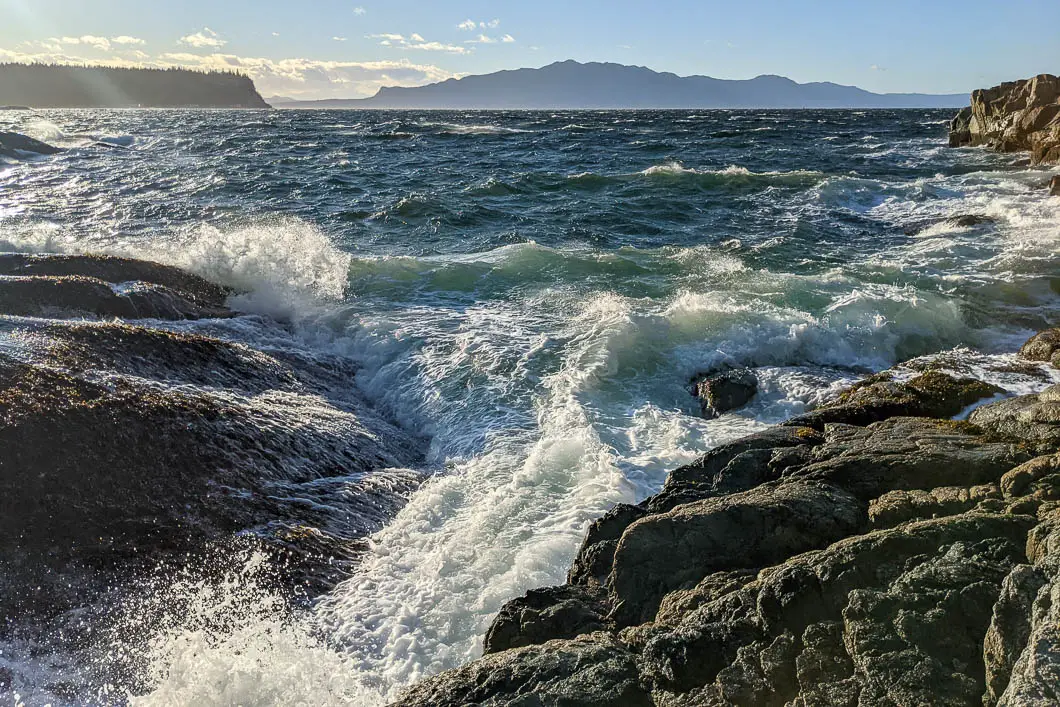
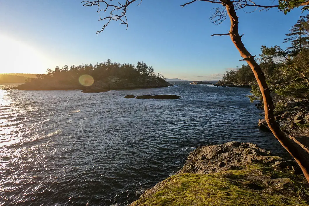
The trail climbs uphill slightly and there’s a nice view of the cove. The trail carries on and comes to a loop around the end of the peninsula. Stay to the left, and you’ll find a large, open outcrop overlooking the Strait of Georgia. From this viewpoint, you can see Grant Island, South Thormanby Island, and Shepherd Mountain on Texada Island.
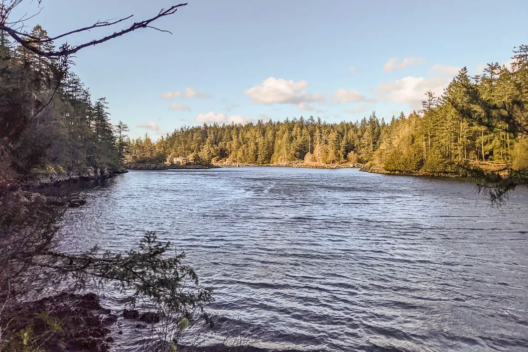
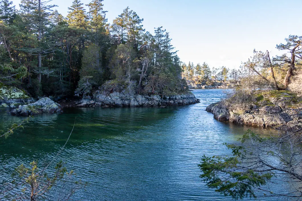
After checking out the scenic view, continue along the trail. You will come to several more great viewpoints as you loop around the tip of the peninsula. Take your time to explore and enjoy the rugged coast, ocean views, breezy air, and arbutus trees lining the trail.
Complete the short loop and head back to the junction at Smuggler Cove.
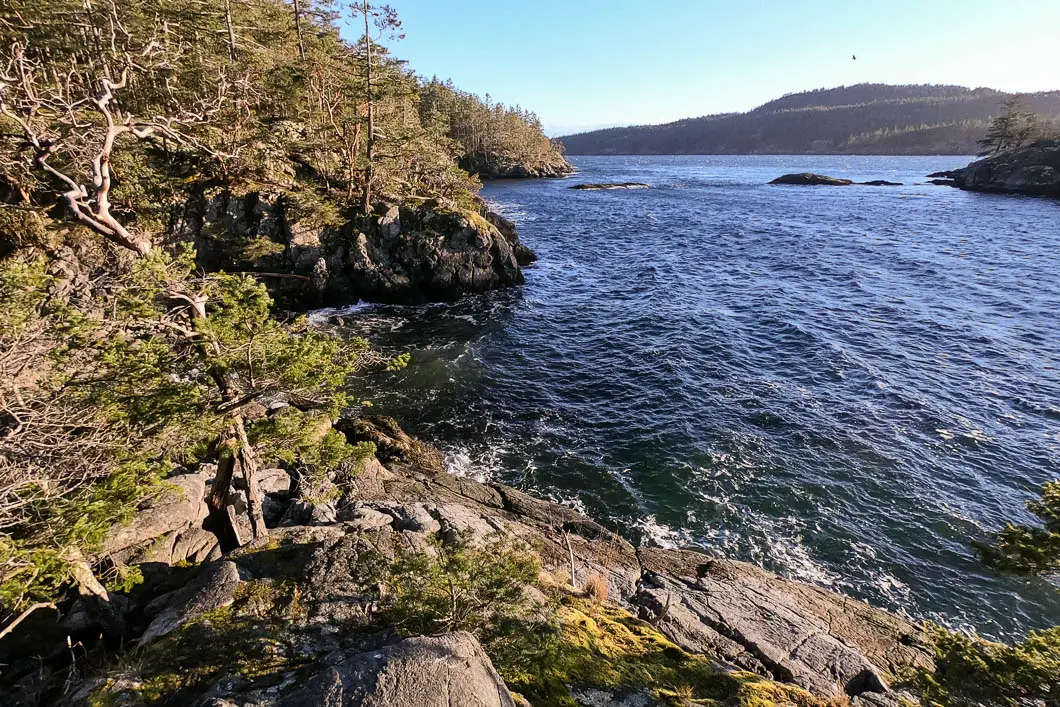
Now head right, onto the other trail we passed by earlier. The trail winds its way towards the ocean. In about 10 minutes, you’ll emerge to a terrific viewpoint overlooking Grant Island.
After enjoying the view, you can return to Smuggler Cove and then make the short walk back to the parking area from there.
Download the PDF version of this guide for offline use
Directions and Parking
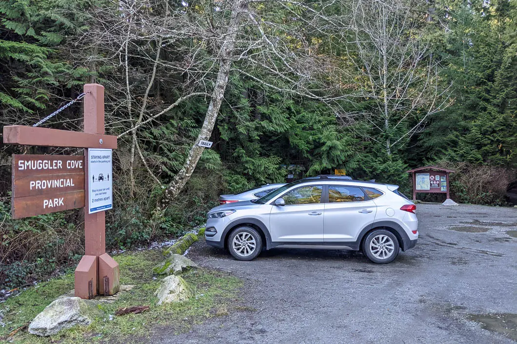
From Sechelt, take the Sunshine Coast Highway north. After passing Halfmoon Bay, watch out for signs for Smuggler Cove Provincial Park.
Where directed, take a left onto Brook Road. After driving down the road for several minutes (a little over 3 km), a small parking lot will be on your right hand side. There is a Smuggler Cove sign here. If you end up at the bottom of Brooks Road at a residential area, you’ve gone just too far.
Google Map directions are here.
Other great hikes in this area
- Burnette Falls (easy)
- Pender Hill (easy)
- Mount Elphinstone (moderate)
- View all hiking guides here


