Sugar Mountain – Table of Contents
- Hike Introduction
- Hike Statistics
- Sugar Mountain Video
- Map and Elevation
- Hiking Route Description
- Directions and Parking
- Free PDF Download
Sugar Mountain Hike Intro
The Sugar Mountain Loop is a peaceful, short hike in Belcarra Regional Park, Port Moody. The Sugar Mountain Trail lies between Sasamat and Buntzen Lakes. The loop is rated as moderate but is likely on the easier side of moderate. The trail should be doable by most children who can handle the distance, making it a nice option for families.
The hike starts at the parking area for White Pine Beach. Because of this, parking can be a challenge during the summer months when the area is busy with beach-goers. As such, we recommend saving this hike for the spring or fall. The trail stays snow-free for most of the year, and the thick tree canopy provides good shelter on rainy days.
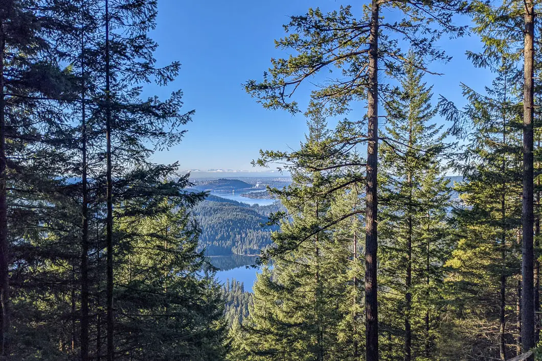
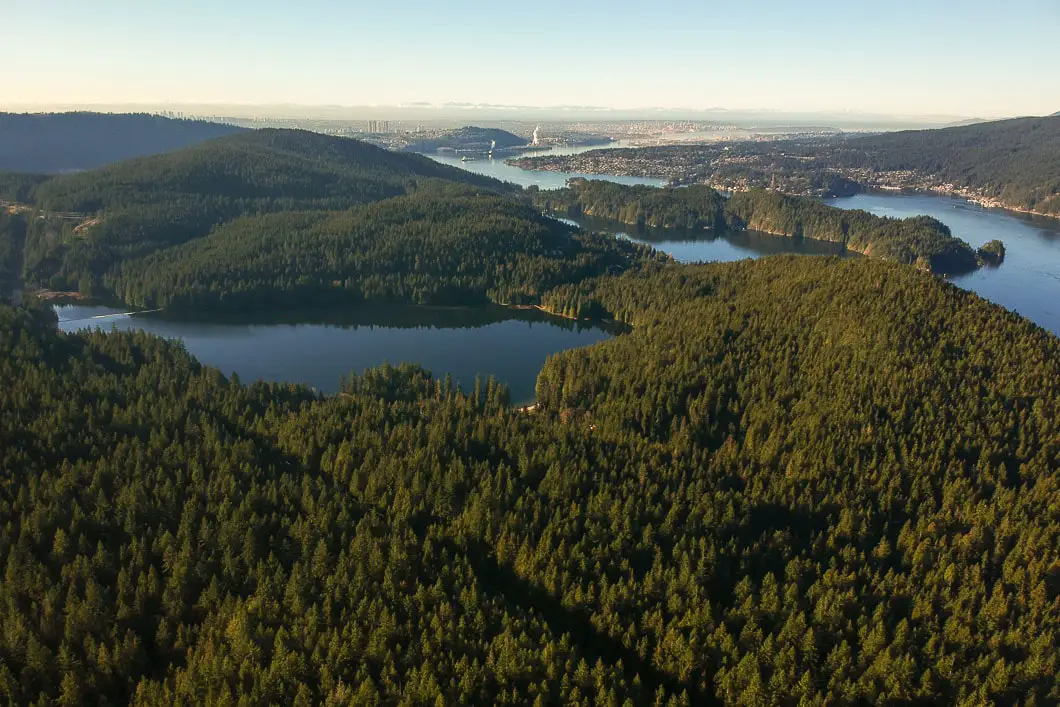
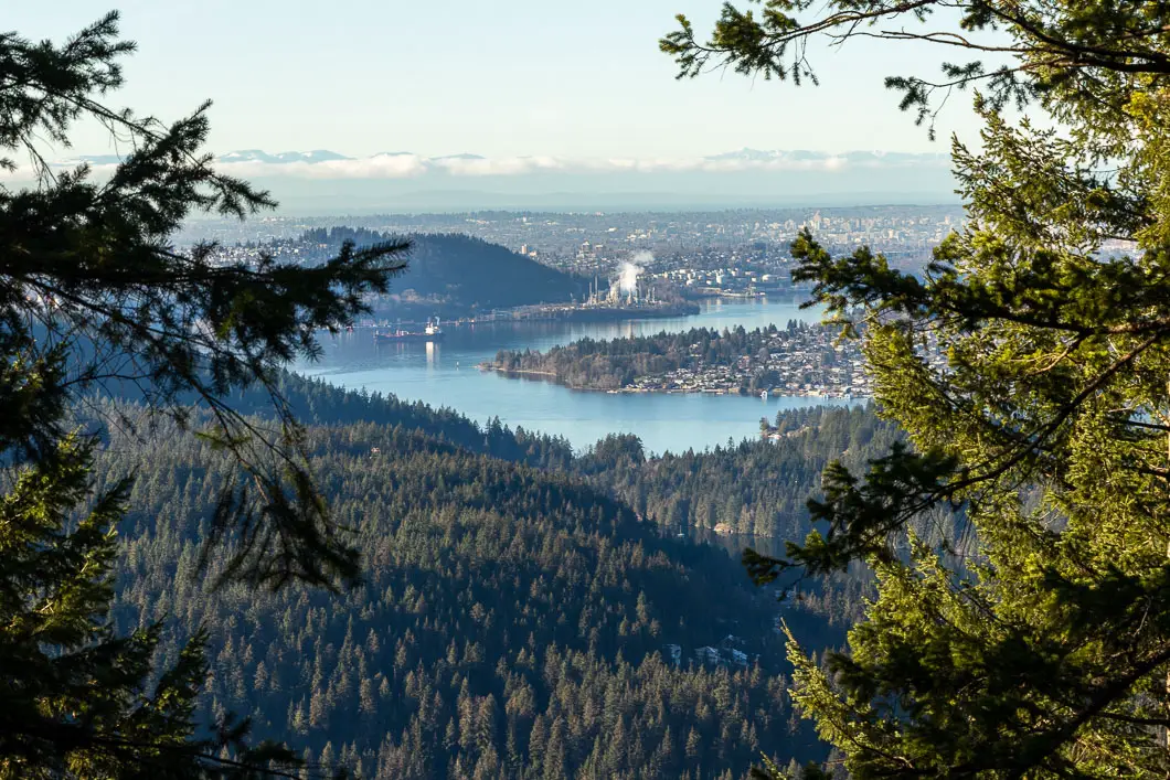
The trail is typically completed as a loop, starting from the parking lot, and traversing the length of Sugar Mountain Ridge Trail. Near the summit, there is a viewpoint where you can see the Burrard Inlet and Vancouver.
It’s a great hike that is not as well-known as other nearby hikes like Jug Island, Diez Vistas, and the Buntzen Lake Loop.
Sugar Mountain Hike Stats
Rating: Moderate
Distance: 7 km
Net Elevation Change*: 310 m
Highest Point: 379 m
Time Needed: 3 hours
Type: Partial-loop
Season: Year-round
Dogs Allowed: Yes, on leash
Est. Driving Time from Vancouver: 1 hour
Trailhead Coordinates: 49.3251369, -122.884682
*For a better understanding of the stats and difficulty rating, check out the Hiking Guides page for details. Always carry The Essentials and fill out a trip plan.
Sugar Mountain Video
Here is a 4-minute video of our experience on this hike!
Sugar Mountain Hike Map and Elevation
Sugar Mountain
Profile
Sugar Mountain Hiking Route
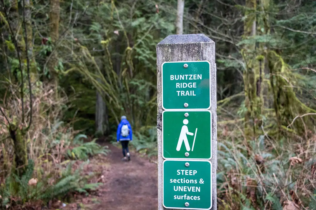
You will find the trailhead for the Sugar Mountain Loop near Parking Lot E on White Pine Beach Road. You will see a set of stairs on the east side of the road, with a marker for the Buntzen Ridge Trail.
The trail begins near a power line and starts climbing gradually. As you begin, a wide path carries you away from the road. Soon, the trail crosses underneath the power line.
After a few minutes of climbing, you’ll come to a road. Take a left onto the road. Immediately, take a right where there is another marker to get back onto the trail.
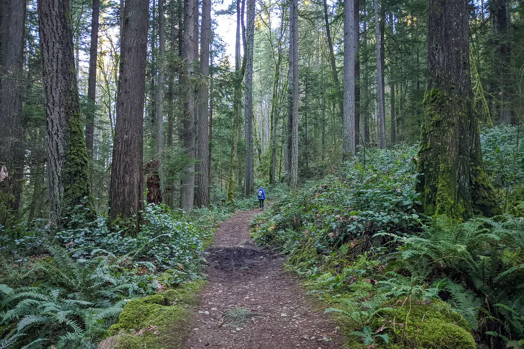
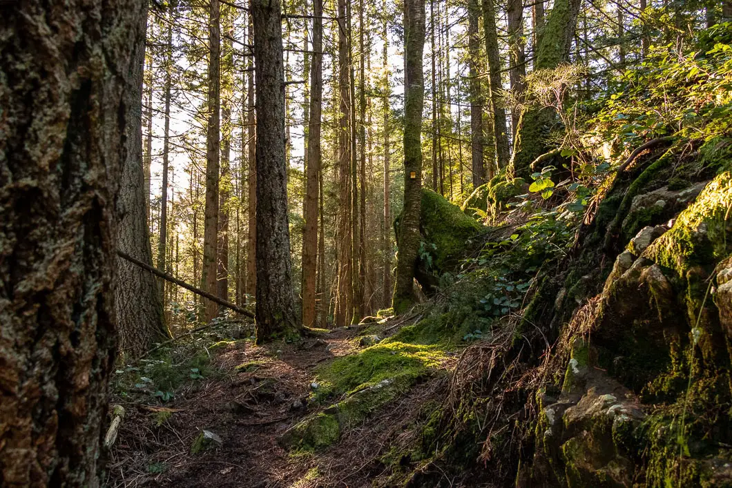
After you cross the road, the trail keeps carrying into the forest. The forest is dense, mossy, and vivid green on a sunny day. The path here remains a well-groomed double-track path and keeps climbing up at a gradual pace.
Enjoy the scenery as the trail zigzags through the trees. As you continue, it starts to climb a little more steeply. The path is easy to follow.
After about 1.3 kilometres or half an hour, you’ll come to a deactivated service road. There’s a trail marker here. It is marked for Sasamat Lake in the direction you just came from, and the Buntzen Ridge Trail in the other two directions.
As the route is a loop from this point, you can go in either direction. We’ll go left, to get most of the climbing out of the way sooner.
The road becomes rocky and steep. After ten minutes you’ll come to the top of the hill and the grade will level out somewhat.
The road undulates for a while and eventually, you’ll come to a power line. Here, you’ll have a view of the Diez Vistas lookout ahead of you. You might also notice some partial views of the Burrard Inlet to your left. This is about 1 hour and 2.5 kilometres into the hike. As you reach the top of the road, the trail narrows.
As the trail bends into the trees, you’ll want to pay attention as there are several trails and it can get confusing. The easiest way to carry along the Sugar Ridge Loop Trail is to take the first right onto an unmarked trail. This trail will appear as soon as you pass the power lines and go around the corner. You can ignore the trail a little further down that has a marker. If you go too far, you’ll intersect with the Diez Vistas Trail.
The trail will double back and you’ll now be heading south. The trail becomes singletrack and you’ll start to see yellow trail markers in the trees. The trail continues climbing uphill.
The next stretch of the trail keeps climbing up and the trail becomes more technical. Here, there are lots of big loose rocks and tree roots. It is the most difficult stretch of trail on the hike. Yet, it’s nice and quiet, and scenic. There will be plenty of yellow tags in the trees, so just keep following the path that carries up along the ridge.
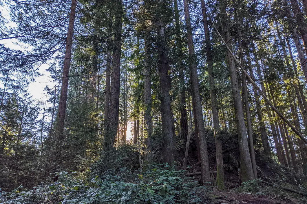
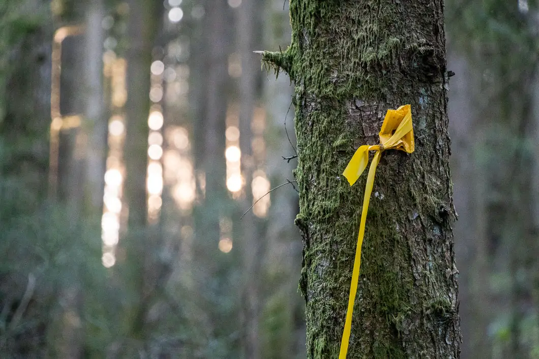
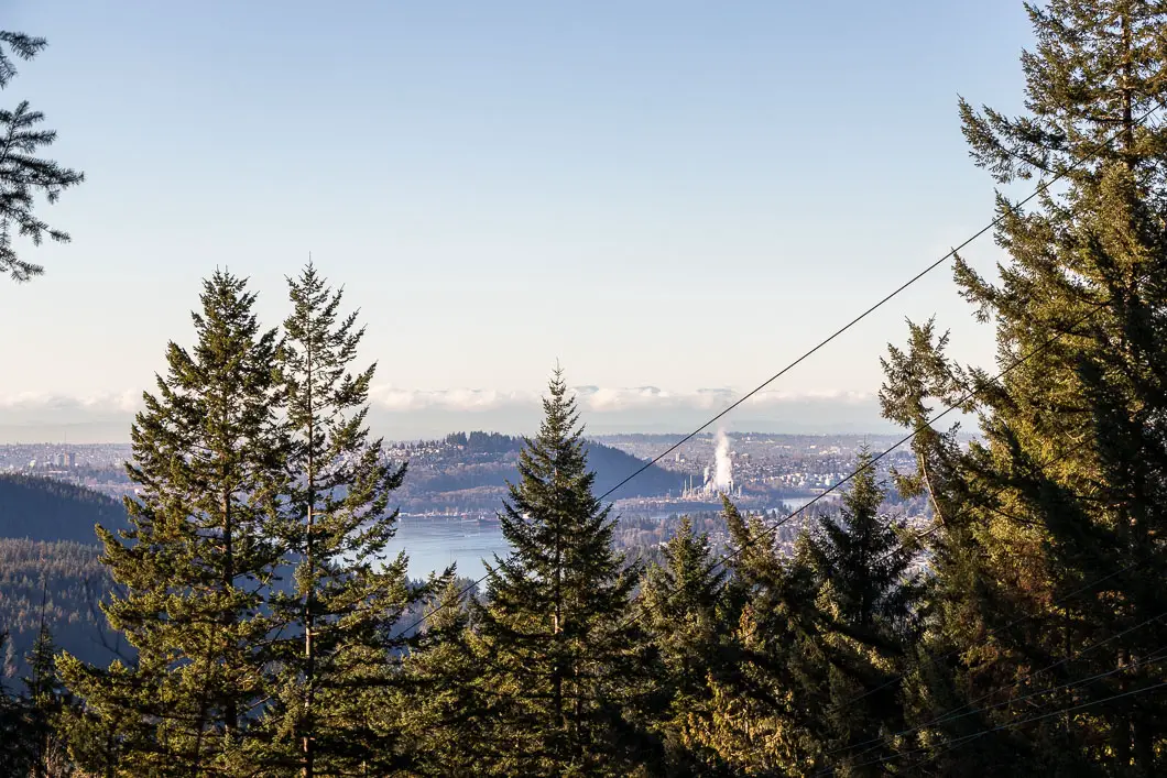
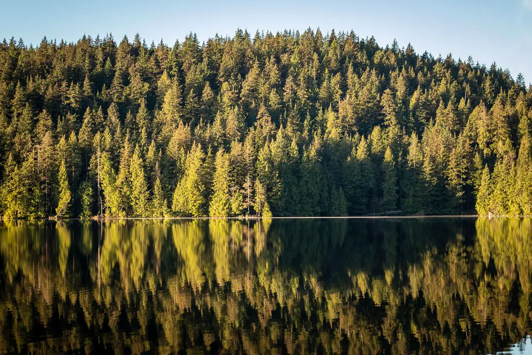
Around 3.4 kilometres, or an hour and a half, you’ll come to a little lookout. The trail detours to the right, down a short but steep slope, where you can get the best view. From this viewpoint, you’ll get a nice view of Sasamat Lake and the Burrard Inlet to Vancouver.
After checking out the view, climb back onto the main trail and head right to continue going south. From the lookout, the trail starts to descend.
You will come to a Y-junction in the trail. Going left makes for an easier descent, but whichever way you go, the trails join back together.
Keep following the trail as it drops down. After a little over two hours in the hike, you’ll come to a junction with a big tree with a yellow tag in it. Go right here to complete the loop and get back onto the deactivated service road.
Once you’re on the service road, follow it north. Then it’s just a matter of following the road to the original junction where you got on to the road. At that junction, go left back down to the parking lot.
Download the PDF version of this guide for offline use
Directions and Parking
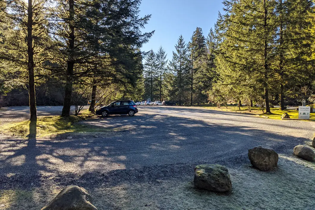
From the Barnet Hwy/ St. Johns Street in Port Moody, take Ioco Road north. Follow Ioco to the left at the intersection with Heritage Mountain Boulevard. Ioco Road will climb up alongside Rocky Point. In about 4 km turn right onto 1st Ave. Follow 1st Ave left at the first junction, as it turns into Bedwell Bay Road.
As you near Sasamat Lake, follow the signs for White Pine Beach and turn right onto White Pine Beach Road. Park in any lot you’d like, but the trailhead is on the east side of the road nearest to Parking Lot E.
Google Map directions are here.
Other great hikes in this area
- Jug Island (moderate)
- Diez Vistas (easy)
- Admiralty Point (easy)
- Belcarra Bluffs (moderate)
- View all hiking guides here


