Teapot Hill Hike – Table of Contents
- Hike Introduction
- Hike Statistics
- Teapot Hill Video
- Map and Elevation
- Hiking Route Description
- Directions and Parking
- Free PDF Download
Teapot Hill Hike Intro
Teapot Hill is a short, popular hike in Cultus Lake Provincial Park, Chilliwack. The trail begins at a small parking lot beside Cultus Lake and heads up to a nice but obstructed overlook of the lake.
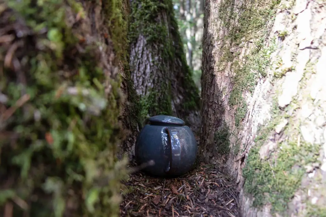
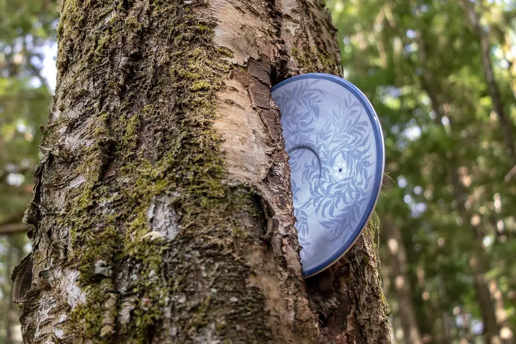
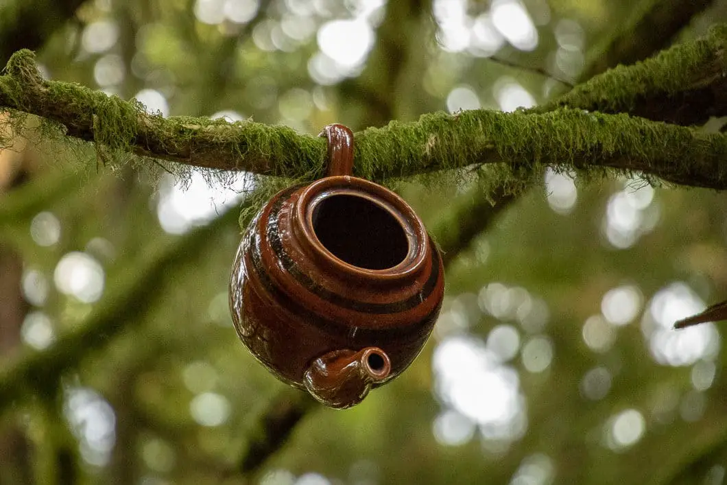
While the views from the top are obstructed by trees, Teapot Hill does offer a fun twist – there are dozens of teapots and teacups scattered and hidden throughout the hike.
Teapot Hill is a great hike for children, or anyone visiting Cultus Lake.
Please note: While it’s fun to find all the teapots on this hike, there have been issues in the past of them breaking and causing litter and a safety issue. There are also rare and sensitive plants in the area that get damaged by people walking off-trail to find teapots. Please stay on the trail at all times.
Teapot Hill Hike Stats
Rating: Easy
Distance: 5.5 km
Net Elevation Change*: 249 m
Highest Point: 306 m
Time Needed: 2 Hours
Type: Out-and-back
Season: Year-round
Dogs Allowed: Yes, on leash
Est. Driving Time from Vancouver: 2 Hours
Trailhead Coordinates: 49.042661, -121.983854
*For a better understanding of the stats and difficulty rating, check out the Hiking Guides page for details. Always carry The Essentials and fill out a trip plan.
Teapot Hill Video
Here is a short video of our experience on this hike!
Teapot Hill Hike Map and Elevation
Teapot Hill
Profile
Teapot Hill Hiking Route
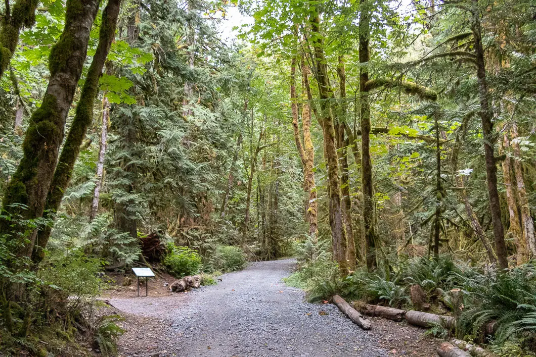
From the parking lot, you’ll see a sign for Teapot Hill. Start walking up the trail, and it will quickly turn into a wide gravel road. Begin walking up the road. You’ll pass by a small concrete B.C. Hydro shed. The road will continue climbing up into the forest away from the parking lot.
After 100 m, you will pass by an outhouse on your left. Here you will find a map of the trails in the park, including the Teapot Hill Trail.
Continue walking up the road, which is flanked by huge, moss-covered trees. The road climbs at a gradual rate through the dense forest of Douglas-fir trees. After 300 meters, you will pass by a creek on your right. After 500 m or about 10 minutes, the road narrows.
After 1 km, or 15 – 20 minutes of walking, you will come to a junction. There is a trail to the left called Horse Trail. There is a sign that marks Teapot Hill straight ahead. The ‘trail’ is still a road at this point.

After another five minutes, you’ll come to another junction. This time, go right. The trail is clearly marked with a large sign for Teapot Hill. The path here narrows to a double-track trail but remains well-groomed and easy to follow.
After five more minutes, the trail will narrow further and cut into the side of the hill. There is a sharp embankment down on your left.
The trail curves to the right and becomes steep for a few minutes before leveling out. As the trail levels out, you’ll now be walking in the direction back towards Cultus Lake.
Keep your eyes peeled, as you’ll start to see teapots hidden in all sorts of places.
At about 2.4 km into the hike, you will come to a partial lookout of Cultus Lake, and an interpretive sign warning about the dangers of lightning in the area.

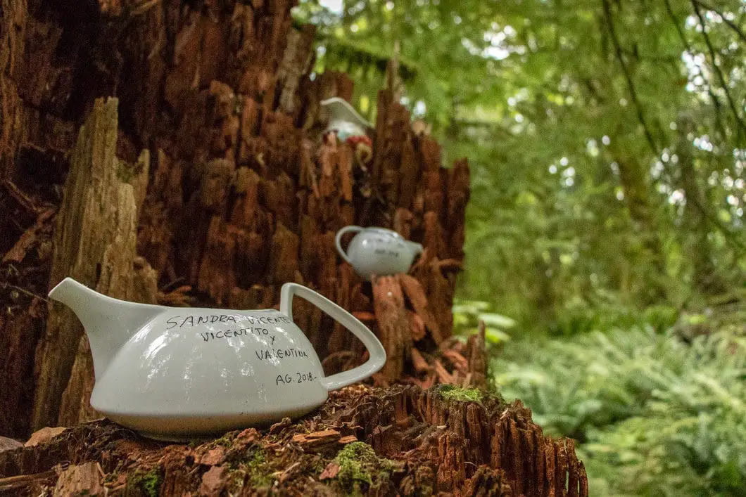

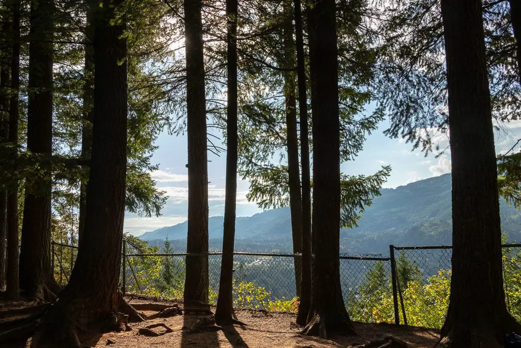
Follow the trail, and you’ll see more and more teapots as you progress. You may hear boats down on the lake below. Before too long, you’ll come to a fenced area with a lookout down onto Cultus Lake and over the Columbia Valley.
Enjoy the view over the fence, and take your time looking at all the different teapots scattered around. Please stay on the trail and do not trample new terrain to view or place teapots.
After you’ve soaked up the views, you can retrace your steps back to the parking lot.
Cool fact: “The area was named Teapot Hill in the 1940s by a logger who found a teapot on the hill.” [Source]
Download the PDF version of this guide for offline use
Directions and Parking
Head East on Highway 1 towards Hope. Take exit 104 watching the signs for Cultus Lake / No. 3 Road. At the T-intersection, turn right onto Tolmie Rd, and turn immediately left again back onto No. 3 Road.
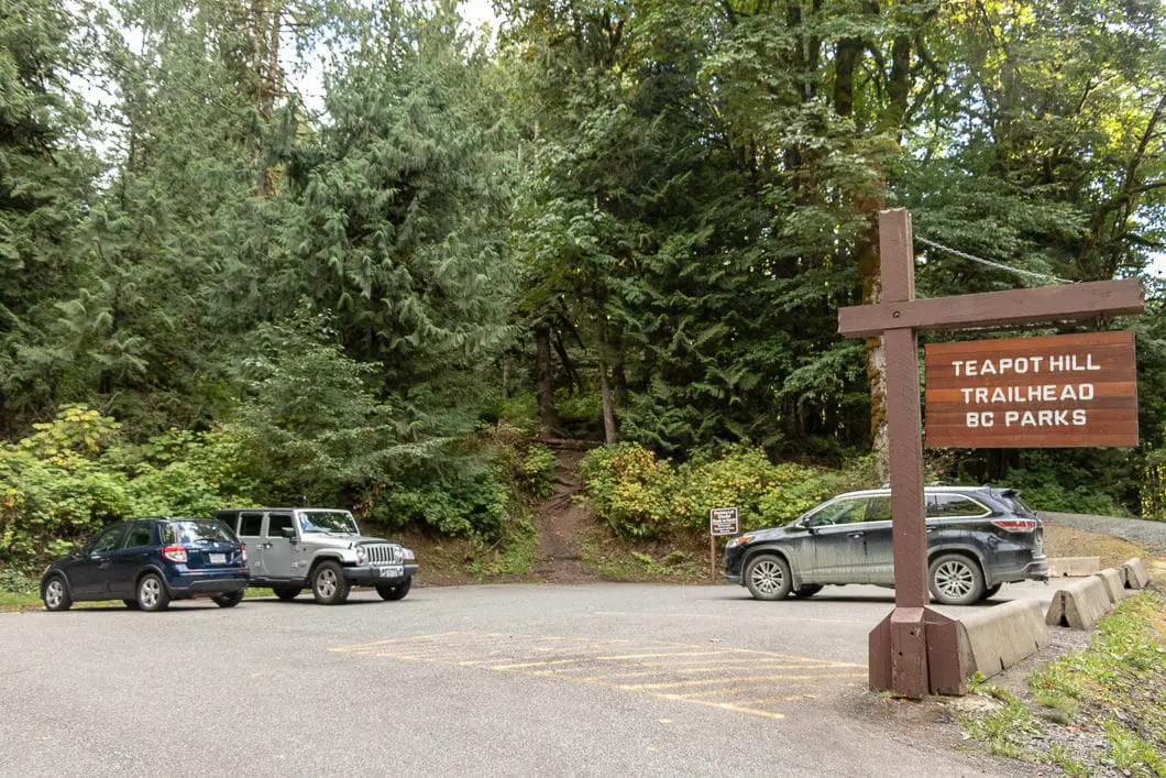
At the next T-intersection, turn left onto Yarrow Central Rd. Continue onto Vedder Mountain Rd. At the roundabout, go right onto Columbia Valley Hwy. Follow Columbia Valley Hwy until you reach the Teapot Hill parking lot, which will be on your left. There will be signs and a gravel parking lot. The parking lot is just across from the Cultus Lake Honeymoon Bay Group Camp Site.
Google Map directions are here.
Other great hikes in this area
- Bridal Veil Falls (easy)
- Flood Falls (easy)
- Elk Mountain (easy)
- View all hiking guides here
Download the PDF version of this guide for offline use
