The Lions – Table of Contents
- Hike Introduction
- Hike Statistics
- The Lions Video
- Map and Elevation
- Hiking Route Description
- Legend of the Two Sisters
- Directions and Parking
- Free PDF Download
The Lions Hike Intro
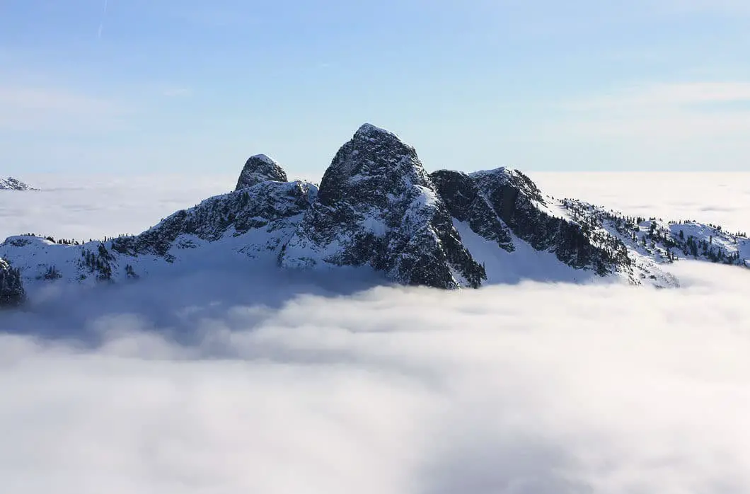
The Lions are an iconic natural landmark in Vancouver, easily spotted from many parts of the city. A hike to the Lions provides one of the most scenic vantage points of any hike around Vancouver.
Also known as the Two Sisters, these twin peaks are so prominent from the city, they have inspired the naming of the Lions Gate Bridge, the town of Lions Bay, and the B.C. Lions football team.
However, the hike to The Lions is one of the more challenging ones around. The terrain is steep, difficult, and snow persists well into the summer. This is not a hike for beginners.
The hiking route described below follows the Lions-Binkert Trail to the base of the West Lion. The stats and times do not include summiting the West Lion. Summiting the West Lion should only be done by experienced mountaineers, with proper training and gear. Fatalities have occurred on the West Lion, as the scramble up it leaves no margin for error – a fall would be nearly certain death.
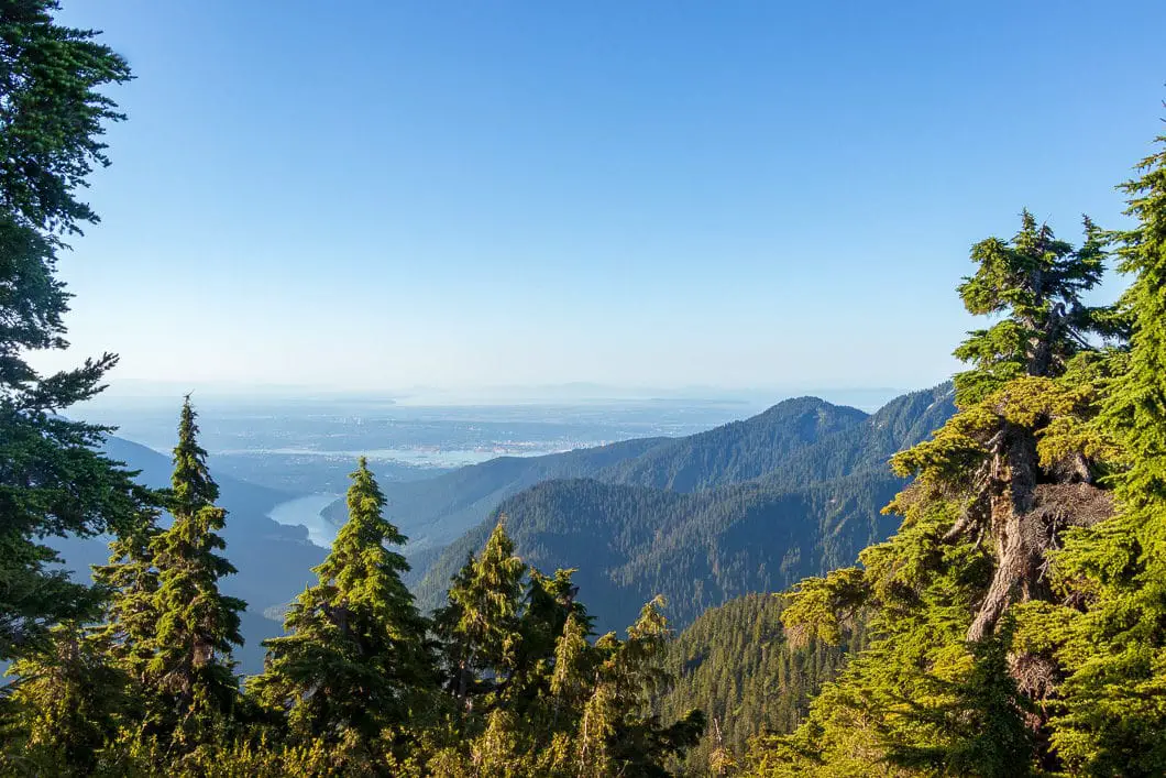
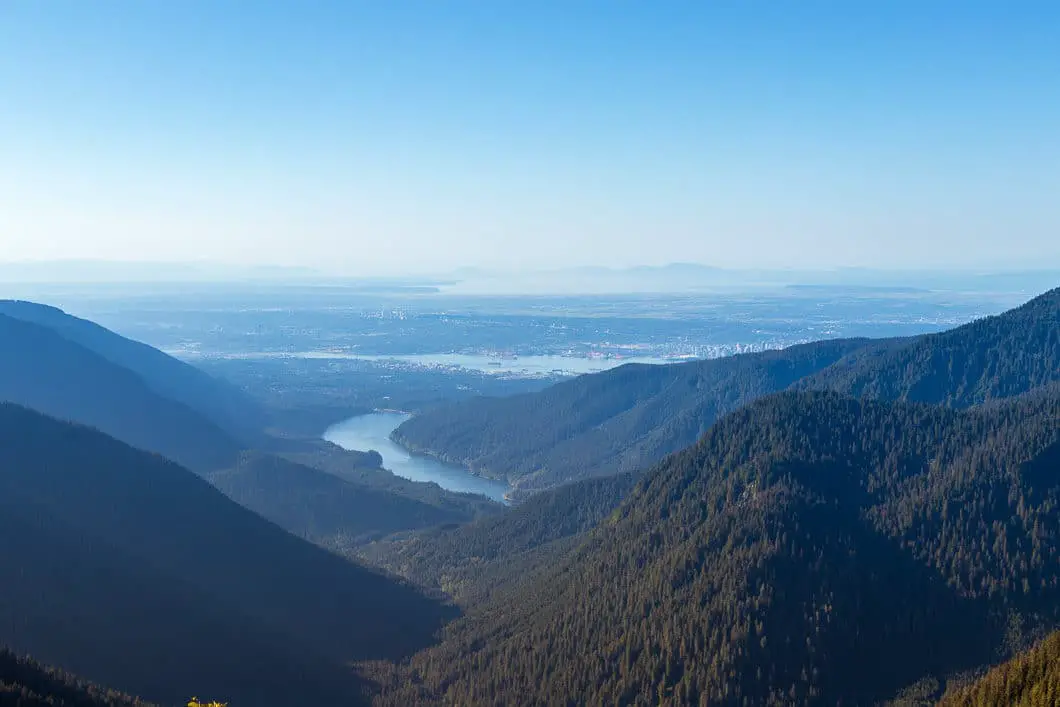
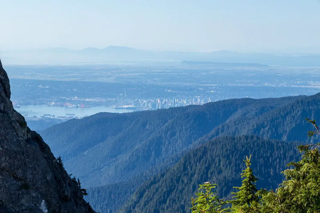
Warnings aside, if you are fit and have hiking experience, this is one of the most rewarding hikes you can do near Vancouver. From the base of The Lions, you have incredible views south towards Mount Unnecessary, Vancouver, Mount Baker, and Washington; views to the west of Howe Sound, the Sunshine Coast and Vancouver Island; views to the north towards Mount Brunswick, Mount Harvey, and Garibaldi Park; and east across the North Shore mountains and Golden Ears.
This guide describes the route from Lions Bay, up the Lions-Binkert Trail. It is also possible to hike to The Lions starting from Cypress Mountain Resort. That route has less elevation gain, but longer total distance. If you want to hike The Lions from Cypress Mountain, read our guide for the Howe Sound Crest Trail, which describes that route carrying past St. Mark’s Summit and Mount Unnecessary.
You could also drop an extra car at Cypress Mountain or Lions Bay and do this hike as a point-to-point.
Warning
This hike is among the more difficult of all the day hikes around southwest British Columbia. This guide is not intended for beginner or new hikers. Please make sure you are in good fitness and take all regular safety precautions on this hike.
The Lions-Binkert Hike Stats
Rating: Difficult
Distance: 15 km
Net Elevation Change*: 1,328m
Highest Point (Ridge): 1,566 m
Time Needed: 7 – 9 Hours
Type: Out-and-back
Season: July – October
Dogs Allowed: Yes
Est. Driving Time from Vancouver: 40 Minutes
Trailhead Coordinates: 49.470989, -123.234799
*For a better understanding of the stats and difficulty rating, check out the Hiking Guides page for details. Always carry The Essentials and fill out a trip plan.
The Lions Video
Here is a 2-minute video of our experience on this hike!
The Lions Hike Map and Elevation
The Lions
Profile
The Lions-Binkert Trail Hiking Route
From the parking area (directions), walk by the yellow gate and information board. The trail starts out as a gravel/ old logging road, which is the route for roughly the first third of the trail. After about five minutes, you’ll see a junction for the Upper Harrison Trail on your left, and a water station on your right. Go up past the water plant to your right. The gravel road narrows a bit..
About twelve minutes, or 600 meters into the hike, you will come to the first major switchback/ hairpin turn in the road.
After 200 m further, you will reach another switchback. You will then come to a clearing at a fork in the road. Straight ahead is a fence with a ‘no trespassing’ sign for the Magnesia Creek watershed. Go right.
You will quickly follow two more switchbacks on the road.
Keep grinding your way up the road (the hike will become more interesting soon). The road remains steep and snakes a few more times. After one final hairpin, you’ll come to the junction for Brunswick Mountain. It will take roughly thirty-five minutes to reach this point, which comes at 1.9 km.
Stay on the road to the right in the direction marked for The Lions and Mount Harvey. The road here narrows to a doubletrack path.
The road will level out and views of the Tantalus Range, Howe Sound, and Horseshoe Bay will open to your right.
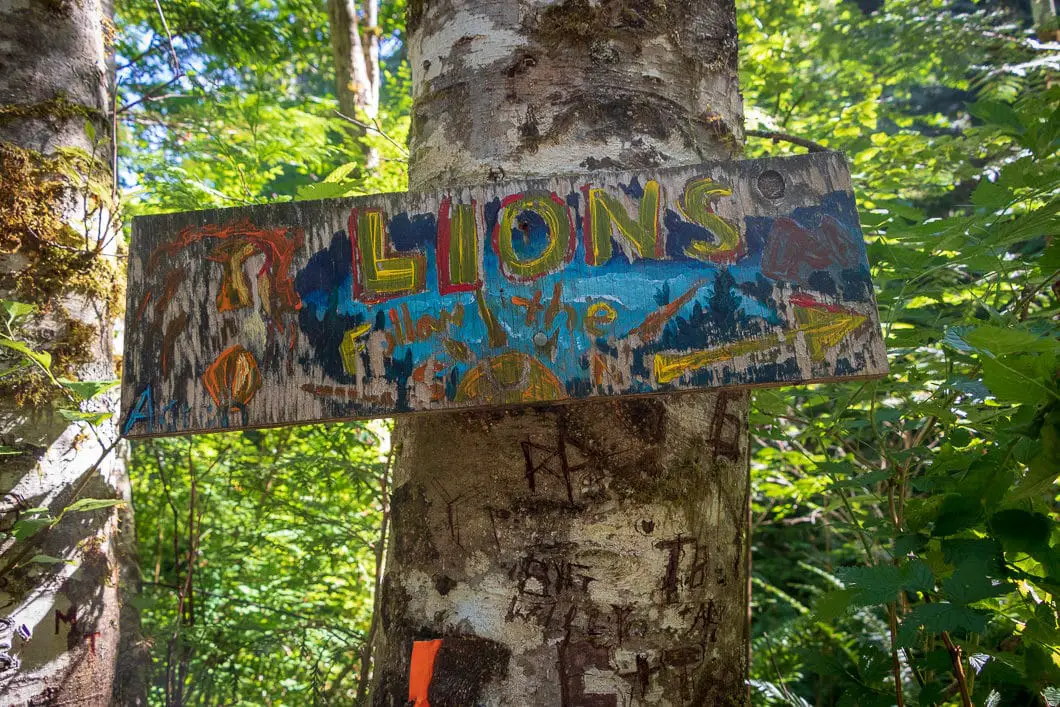
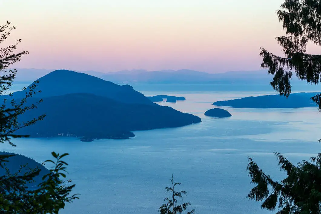
You’ll come to a T-intersection around 2.4 km and 40 – 50 minutes. Go right, where there is some orange flagging and markers in the trees. You’ll now be on a wide, groomed path.
Around 2.7 km or 50 – 60 minutes, you will come around a bend. On your left, you’ll see a trail that splits off to the left marked Harvey Trail. Stay straight, in the direction marked Lions Trail.
The trail here has loose rock and is relatively flat. Shortly after the Harvey junction, you cross over Alberta Creek and there is a waterfall on your left. If you look to the clearing where the creek flows, you have a nice view of the mouth of Howe Sound. There are lots of loose rocks and boulders in the area – it wouldn’t be wise to linger too long on this stretch of trail.
You will pass by a large cliff face on your left, which may have a trickle of water running down it.
The Lions-Binkert Trail will continue to climb back upwards. Keep following the road and the odd orange marker in the trees.
Around 2.3 km, the path becomes singletrack trail.
At around 1 hour 20 minutes, 4.3 km, the trail starts to climb uphill again. After another 500 meters, you will come to a junction. There is a marker here with the elevation written on it as 835 m. It is marked here for the Harvey Basin and HSCT straight ahead. But make sure you tuck onto the trail in the trees on your right.
The trail goes into the trees and drops down towards Harvey Creek. The trail now becomes more rooty and technical terrain. You will cross over a wooden bridge by a small but scenic waterfall. This can be a good spot to filter water. Push across the other side into the dense forest.
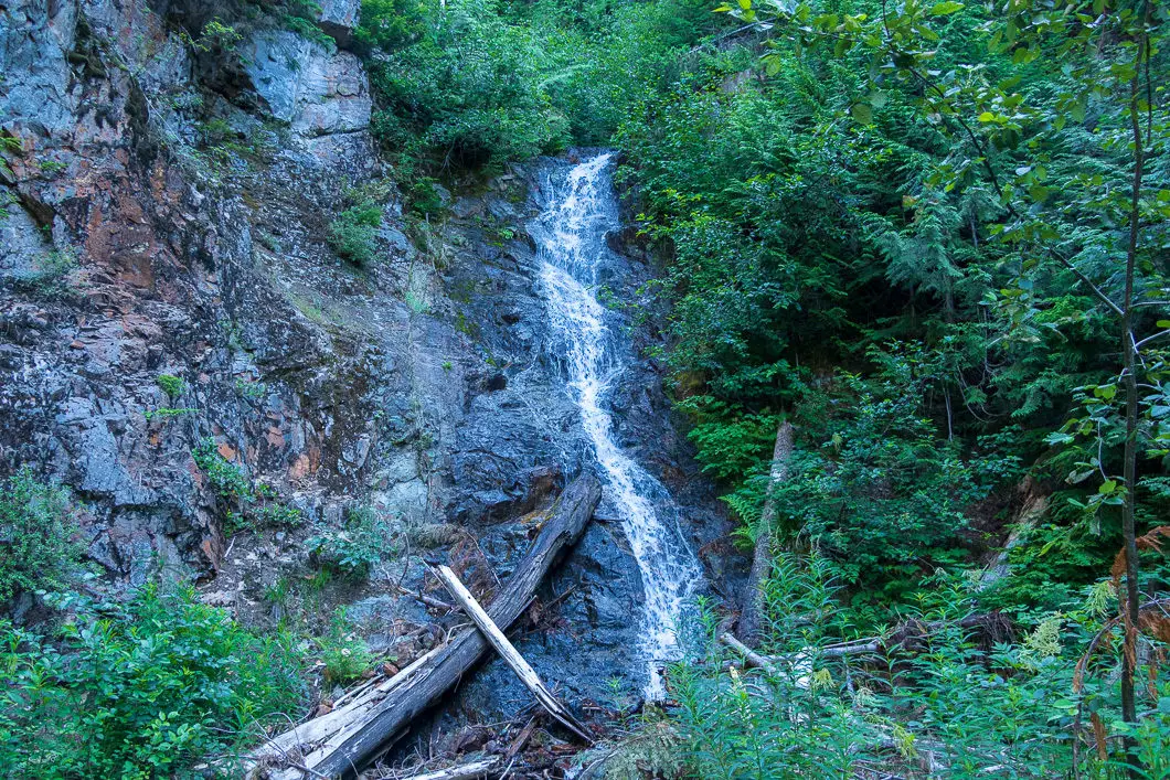
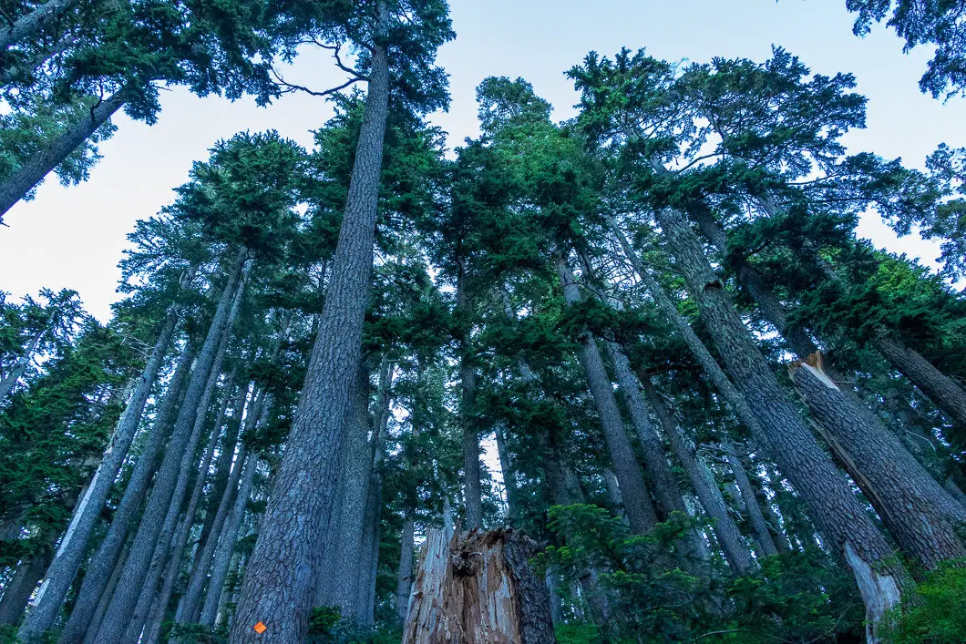
From here, the real hiking begins. The trail becomes more strenuous and your pace will slow down. There will likely be some deadfall to navigate, depending on when trail maintenance was last done. Although difficult climbing, the trail is easy enough to follow as long as you pay attention to the orange markers. You will begin to see significantly more markers in the trees.
Keep grinding up. As you climb, views of Howe Sound will open up behind you. There will be a few sections where you may need to use your hands to climb. There are also a few sections where rebar is bolted into rock to help you climb.
After about 1:45 – 2 hours, you can see Unnecessary Mountain to the south. You’ll also see Gambier Island in Howe Sound to the west.
There is not much to say for this part of the hike, other than to keep chipping away at the elevation. Make sure you stay on the trail as it is not always clearly defined. As long as you see the markers and flagging, you’re fine. Take your time scrambling up.
At just over 6 km, you’ll come to a plateau where you can see the West Lion directly ahead of you and Mount Harvey off to your left. Keep following the trail and you’ll begin to come out into the alpine.
Up at 1,300 m, you’ll come to a boulder field. You may find some running water from snowmelt here if you need a refill.
Behind you, you will have an incredible view of Howe Sound – Gambier, Keats, and Bowen Islands, and the Sunshine Coast. You will also see Unnecessary Mountain and its sharp ridge.
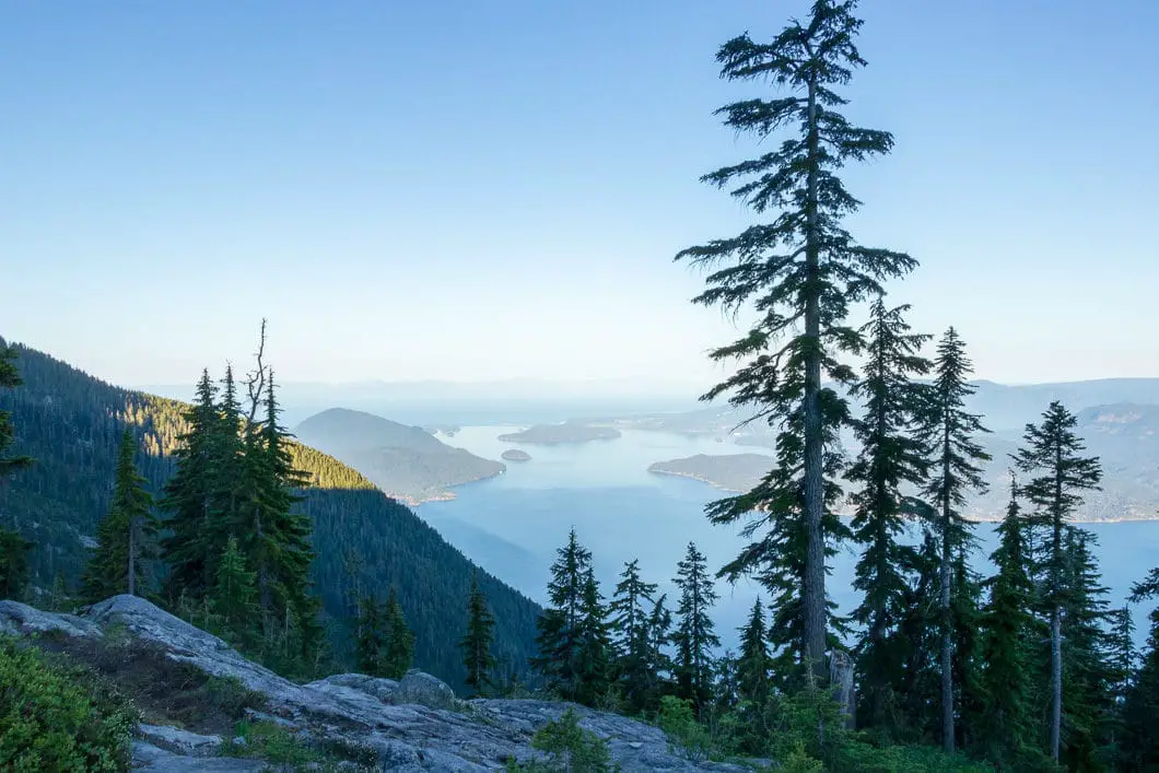
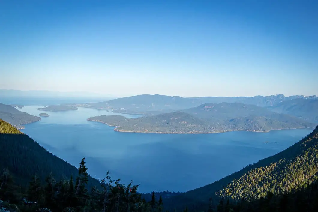
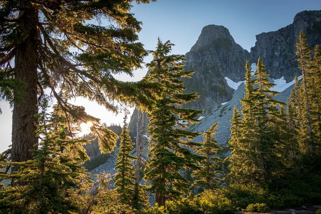
Follow the orange flagging in the branches of some small trees. If there is still snow, microspikes will be helpful here. Take caution.
You will finally crest the ridge and connect with the Howe Sound Crest Trail. You’ll follow the top of the ridge up to the left, towards a Search and Rescue cache. There are faded orange spray-paintings on some of the larger rocks.
After about 3 hours and 7.3 km, you will reach the Search and Rescue cache. From the SAR cache, keep going up the hill following the spray paint.
An awesome view of the East Lion, as well as the North Shore mountain range towards Golden Ears, opens to the east. Cypress Bowl, Mount Strachan, Black Mountain, Mt. Baker, Sunshine Coast (Mount Elphinstone), Tantalus Range, Capilano Lake, Vancouver Island, Sky Pilot, Mount Garibaldi, and more can be seen. It’s one of the most incredible views you could ask for.
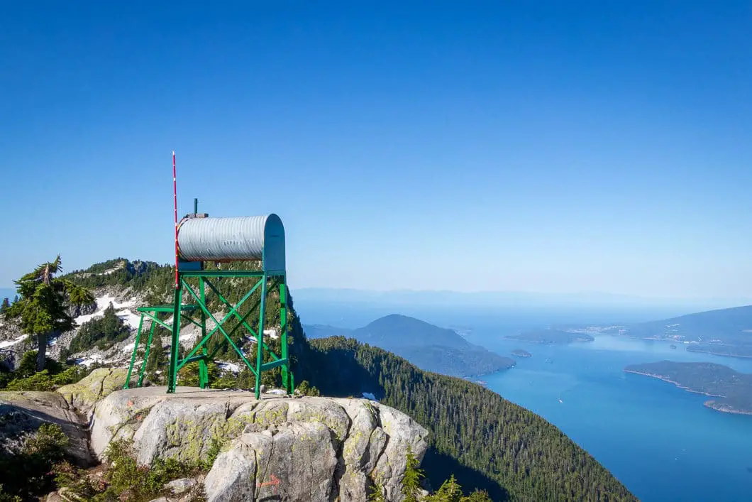
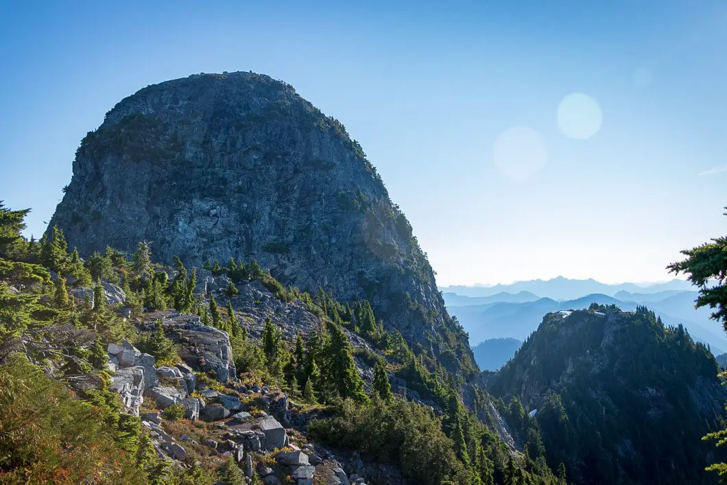
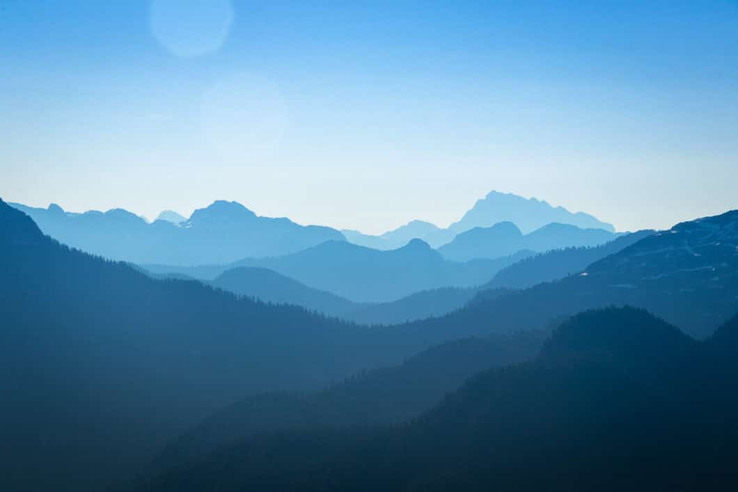
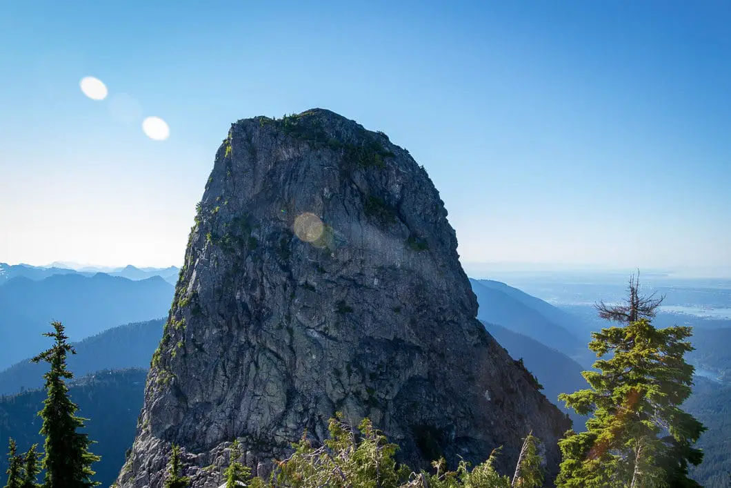
Here, on the ridge, you are at an elevation of about 1,566 m. The West Lion summit has an elevation of 1,646 m and The East Lion has an elevation of 1,606 m.
You can follow the trail to the West Lion, but as cautioned above, it is not recommended to scramble the summit. The views are amazing here, and you’re not missing anything by not reaching the summit. Take extreme caution as you navigate the trail near the sharp cliffs. Stop wherever you like, rest up, and soak it all in.
For those wanting to extend the hike further, it is possible to continue on the Howe Sound Crest Trail to a col between the East and West Lions – but that route also has a sketchy section.
When you’re ready, turn around and retrace your steps back to the parking lot.
Download the PDF version of this guide for offline use
The Legend of the Two Sisters
Native legend tells the story of a great Chief of the Capilano Canyon who had two daughters who were growing into womanhood. As was customary, a large celebration was held and neighboring tribes were invited. The Chief granted his daughters one wish, and they wished for their father to invite all the tribes he was currently at war with to attend. He obliged, and a great feast was held. As a result of the celebration, a brotherhood was created between the warring tribes, and a lasting period of peace began.
“Then the Sagalie Tyee smiled on His Indian children: ‘I will make these young-eyed maidens immortal,’ He said. In the cup of His hands He lifted the chief’s two daughters and set them forever in a high place, for they had borne two offspring–Peace and Brotherhood–each of which is now a great Tyee ruling this land.
“And on the mountain crest the chief’s daughters can be seen wrapped in the suns, the snows, the stars of all seasons, for they have stood in this high place for thousands of years, and will stand for thousands of years to come, guarding the peace of the Pacific Coast and the quiet of the Capilano Canyon.”
And because of this, these mountains are known as The Two Sisters or The Chief’s Daughters.
The full story, as told by Chief Joe Capilano, is captured in E. Pauline Johnson’s book, Legends of Vancouver.
Directions and Parking
Take the Sea to Sky Highway (BC-99) north from Horseshoe Bay towards Lions Bay.
Take the Lions Bay Ave exit. Merge onto Oceanview Road and take a left onto Crosscreek Road. Take a right onto Center Road and a left onto Bayview Road. Follow Bayview Road all the way up to its end and turn left onto Sunset Drive. At the end of Sunset drive you will find a limited number (15) of pay-parking spots.
If parking is full, you’ll need to drive back down the road until you find a suitable parking spot east side of Mountain Drive or use the lower parking lot at the Lions Bay Elementary school.
Please refer to the Lions Bay website for the latest information on parking.
Google Map directions are here.
Other great hikes in this area
- Brunswick Mountain (difficult)
- Howe Sound Crest Trail (difficult)
- St. Mark’s Summit (moderate)
- View all hiking guides here
Download the PDF version of this guide for offline use
