Iron Mountain – Table of Contents
- Hike Introduction
- Hike Statistics
- Iron Mountain Video
- Map and Elevation
- Hiking Route Description
- Directions and Parking
- Free PDF Download
Iron Mountain Hike Intro
Iron Mountain is a popular area for mountain biking and hiking in Merritt, B.C.
There are several trails which snake their way up the mountain. The most popular for hiking is the Too Much Info Trail.
With the trailhead conveniently located off the 97C highway, it’s a popular place for hikers to stop and stretch their legs during a long drive.
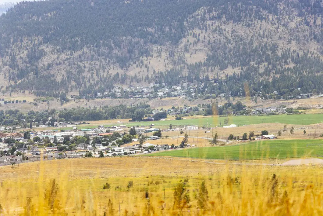
The Too Much Info Trail has several great viewpoints of Merritt and Swakum Mountain during the climb up.
Iron Mountain Hike Stats
Rating: Easy
Distance: 8 km
Net Elevation Change*: 237 m
Highest Point: 933 m
Time Needed: 2.5 Hours
Type: Out-and-back
Season: April – October
Dogs Allowed: Yes
Est. Driving Time from Vancouver: 3 Hours 15 Minutes
Trailhead Coordinates: 50.08879,-120.74517
*For a better understanding of the stats and difficulty rating, check out the Hiking Guides page for details. Always carry The Essentials and fill out a trip plan.
Iron Mountain Video
Here is a 1-minute video of our experience on this hike!
Iron Mountain Hike Map and Elevation
Iron Mountain
Profile
Iron Mountain Hiking Route
While there are many trails on Iron Mountain, the guide here describes the route carrying up the Too Much Info Trail.
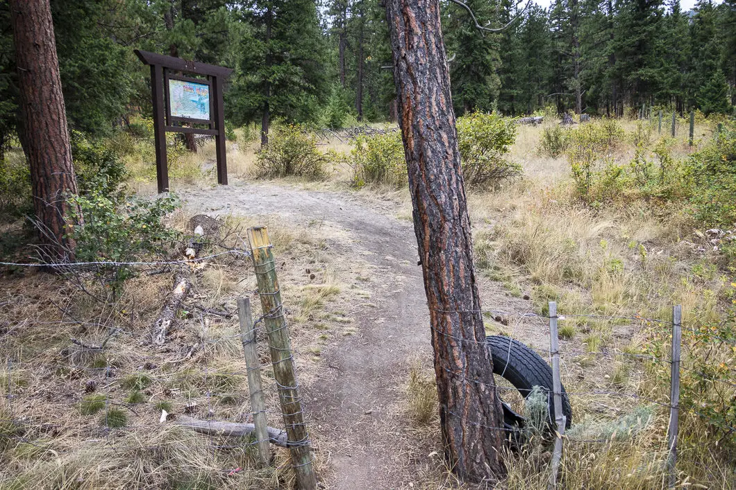
You can park along the side of the road, near the gate (directions). You will see an entrance along the fence, marked by an old car tire and a map of the area’s trails.
Begin walking up the trail and immediately it will fork out to the left and the right. Take the middle trail. The trail then begins climbing uphill gradually. This is the Too Much Info Trail (TMI), which we will follow up Iron Mountain. Several other trails intersect with TMI, but the trails are well marked, and generally all head up Iron Mountain.
The Too Much Info Trail is a singletrack trail flanked by shrubs and tall grass. The trail is not too rocky or technical, making it a nice trail for hiking with children.
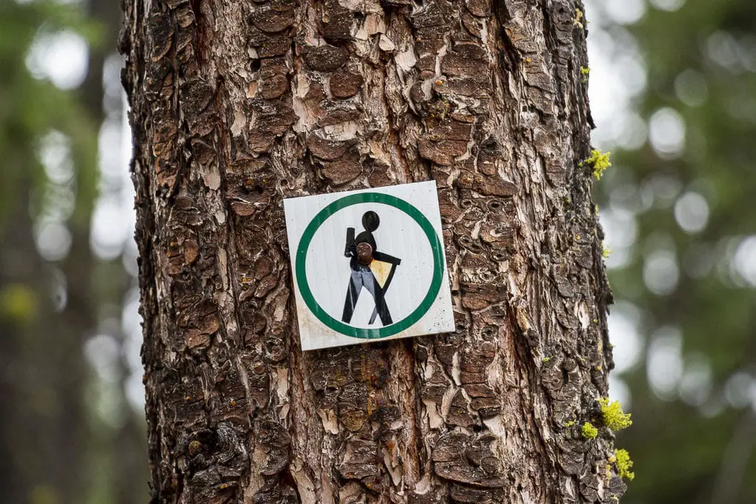
Begin climbing up the hill and within a few minutes, you’ll join another trail. Go left, heading uphill and you’ll come to a tree with a marker which says ‘BCFS Mountain Bike Trail’, and another marker which has a green circle with a hiker inside.
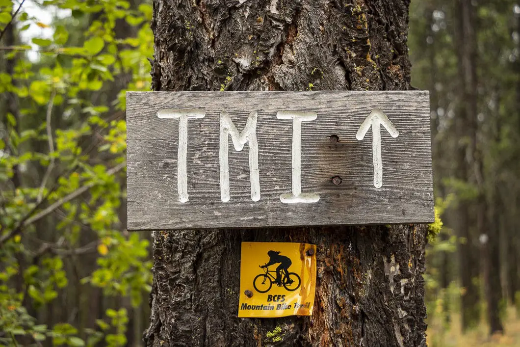
You’ll come around a short hairpin turn to a junction. Go left, and you’ll see a sign in the tree which says TMI. This is roughly 0.6 km or 13 minutes into the hike.
Follow the trail and you’ll soon come to another split. This time, go right.
At this particular junction, one trail has an orange mountain biking trail marker, and the other trail has a hiking marker. Go up to the right, where you see the hiking marker.
The trail will start doing some short switchbacks and will become steeper.
Right around the one-kilometer point, you will start to get some nice views of Merritt below.
You’ll pass by another TMI sign and then a park bench in a scenic overlook area. There’s a junction here marked for the Santana Trail.
The Trail then carries up the remnants of an old road, with tall, dead grass on all sides of the trail. This is a scenic stretch of trail. You can hear the highway rumbling down below you in the distance. and you can see much of the valley through the clearing in the trees. At an average pace, it takes about 25 minutes to reach this point.
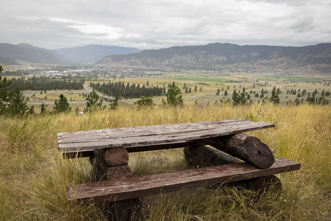
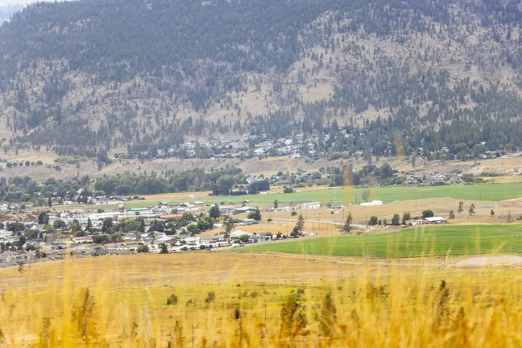
Soon, you will come to yet another junction. To the left is marked for Lower Ez Rider Trail.
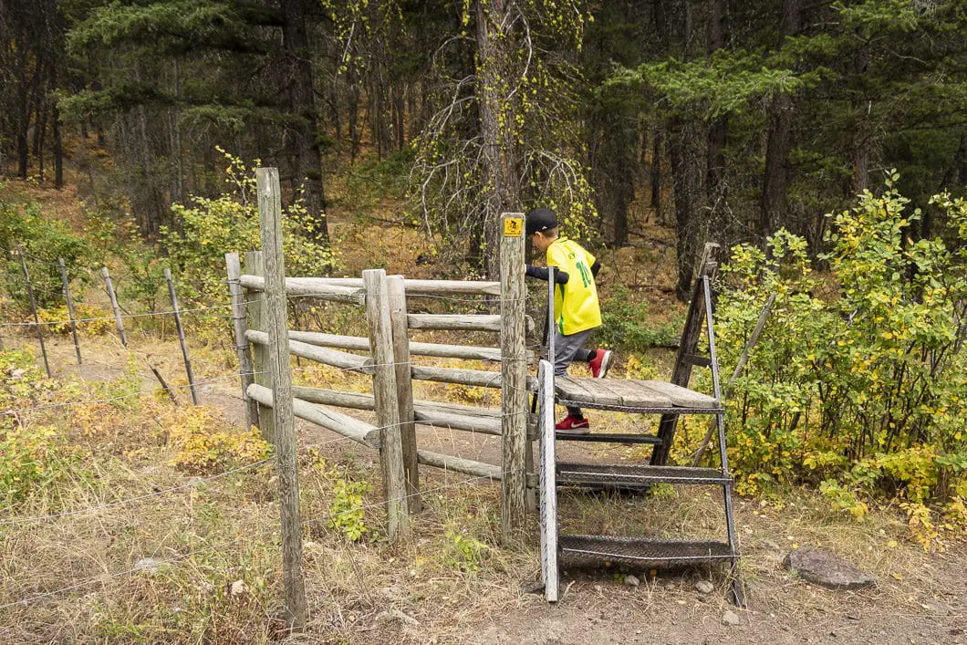
Keep following the road. As it bends around to the right you’ll come to a fence and a sign that says ‘Merritt Mountain Bike Association’. Here you will find a little step ladder that takes you over the fence. From the other side of the fence, continue following the trail.
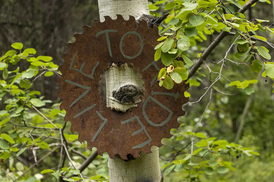
Just past the fence, you will come to a junction. Go right. There is a handmade, ‘Too Much Info’ sign in a tree.
You will cross a dirt road and a few meters further you’ll connect with another mountain biking trail – stay straight.
Soon, you will reach another great viewpoint, where the TMI Trail joins the top of Santana Trail. This is a great place to stop and enjoy the view of Merritt and Swakum Mountain in the distance.
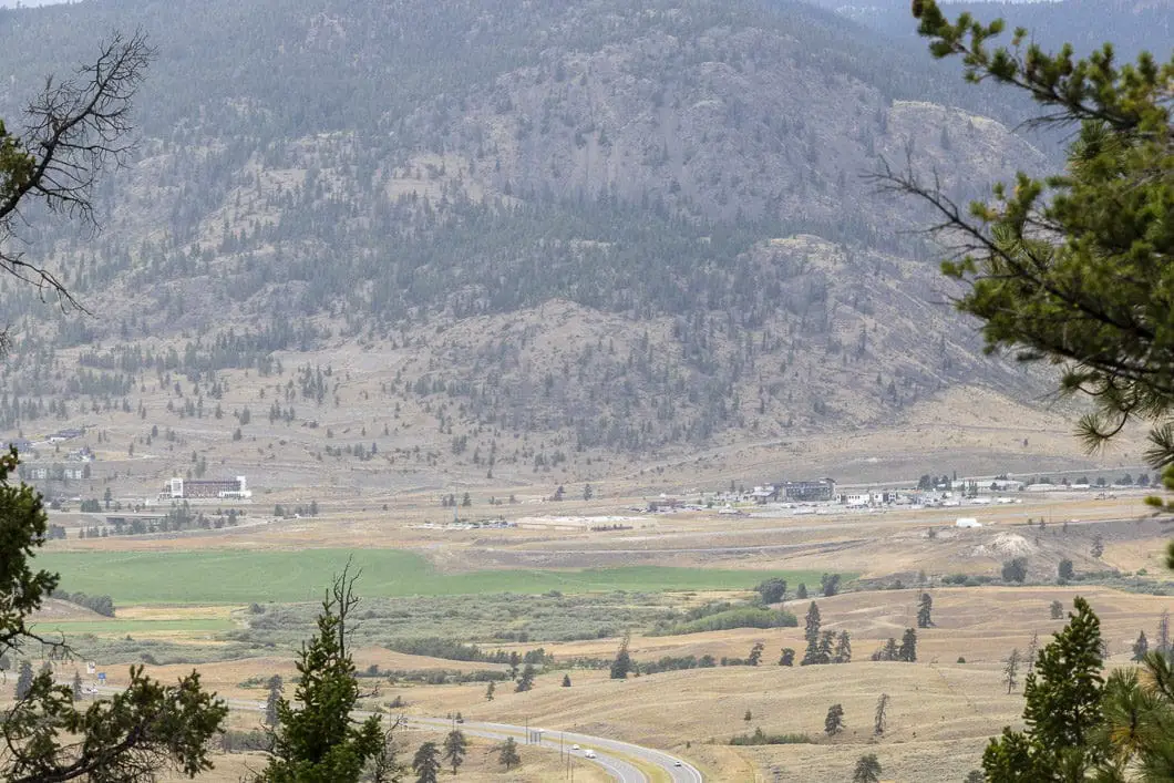
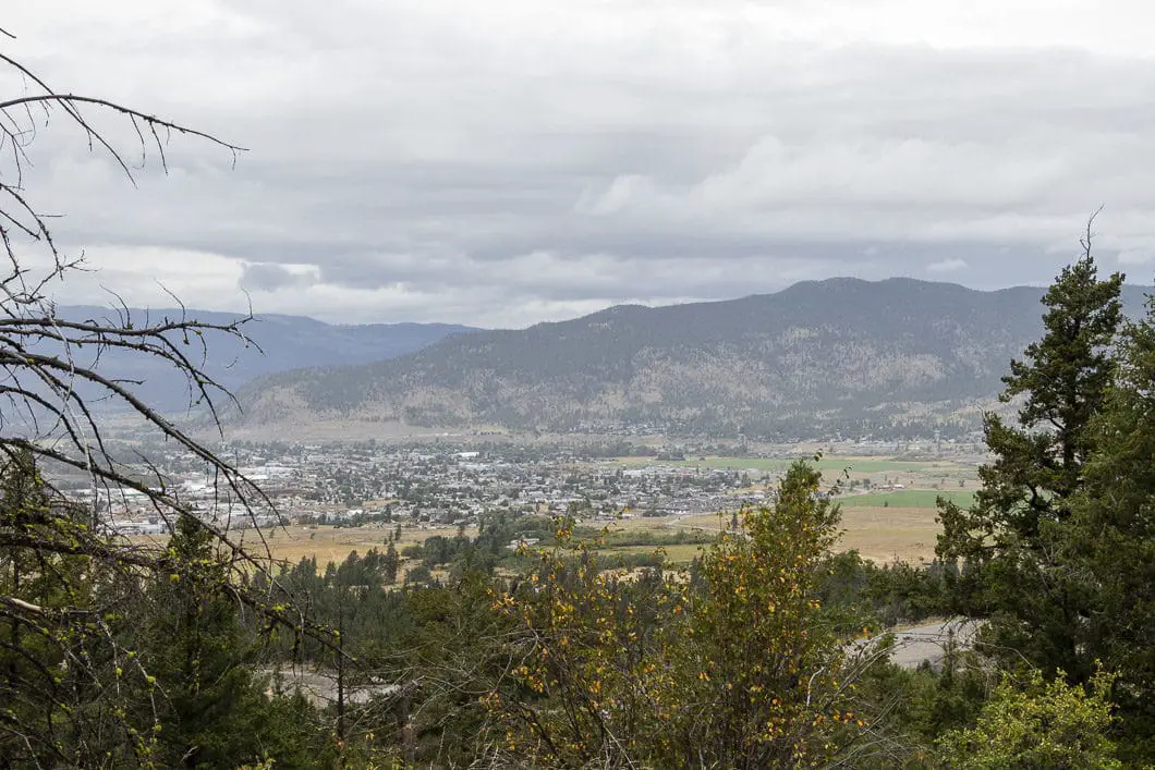
From the lookout, you’ll follow the marked trail for TMI to the left, so make sure you are on the correct trail before leaving the lookout.
Follow the trail a short way, and there will be another switchback. You will cross back over the same dirt road from a few minutes earlier.
Carry back into the woods following the zigzagging trail. There are trail markers to keep you on TMI, so just keep your eye out for them.
Around the 3 km point, you will come to another switchback and a nice lookout area.
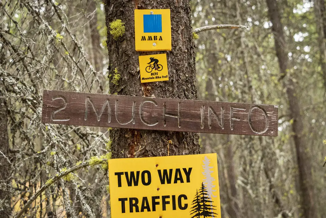
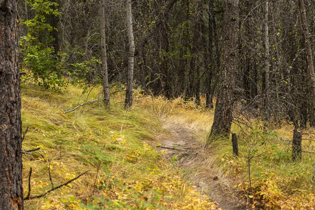
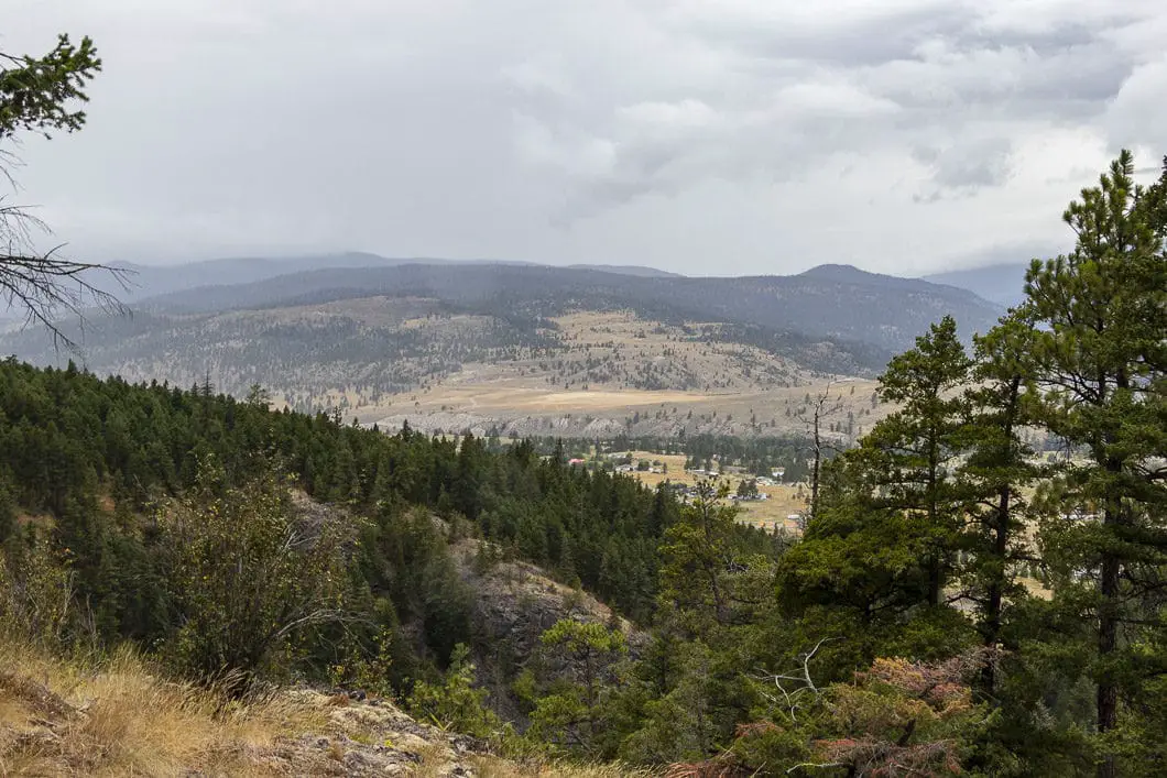
Keep following the trail and at around 3.5 kilometers you will come to a mountain bike ramp. The trail cuts back to the left and carries on.
Shortly after the bike ramp, the trail flattens out and you will enter into an area that feels more forested, with more vegetation. The trail will narrow for a short period.
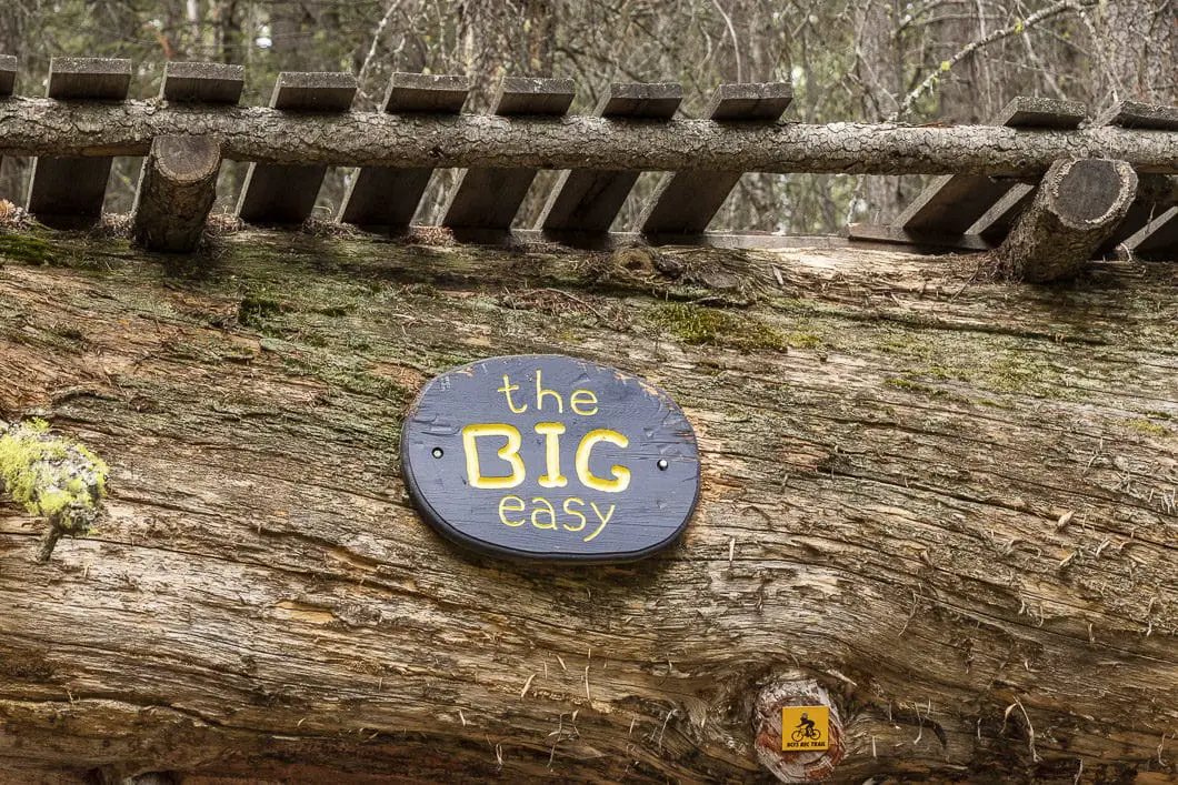
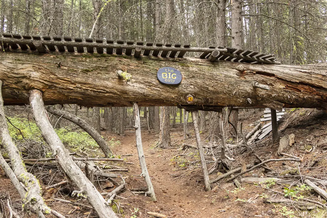
Around 3.8 km, you will walk under ‘The Big Easy’ – a 10-foot tall log that mountain bikers can ride across.
The trail from there comes to a junction. Going right takes you on the Ridge Trail and the left his marked for Upper Godey Connector and TMI. If you want to continue hiking, you can do so by going left onto the trail. The end of the TMI trail reaches a bench where you can enjoy a picnic and recover before descending back down, but there is no panoramic view – mostly mountain bikers continue all the way up.
The stats and description for this hike end just after The Big Easy mountain biking feature, about 4 km from the trailhead.
Once you’ve had your fill of hiking the beautiful Too Much Info Trail, you can work your way back down, retracing your steps. If you’d like to change things up on the way down, you can take some of the other connecting trails.
Download the PDF version of this guide for offline use
Directions and Parking
Follow Trans-Canada Hwy/BC-1 E and BC-5 N to Merritt-Princeton Hwy in Merritt. Take exit 286 from BC-5 N.
After taking exit 286 go straight at the street light across the Okanagan Connector towards the old visitor center.
Turn left onto Hamilton Road. On the road, you’ll see a gate with a barbed wire fence
and a trail map.
Google Map directions are here.
Other great hikes in this area
- Kentucky Lake (easy)
- Ladner Creek Trestle (moderate)
- Falls Lake (easy)
- View all hiking guides here


Tracy
Unfortunately you have to walk thru a cess pool of urine and feces for the first 50m at the trailhead because tourists stop to stretch their legs and use it as a toilet. Hundreds of travellers stop at the closed information centre daily and leave their garbage along the roadside and ditches, needles, diapers, and hygiene products. The trail network is good after crossing the toilet area.