Tunnel Bluffs – Table of Contents
- Hike Introduction
- Hike Statistics
- Tunnel Bluffs Video
- Map and Elevation
- Hiking Route Description
- Directions and Parking
- 360° Photosphere
- Free PDF Download
- ‘Old’ Route Description
Tunnel Bluffs Intro
Important notice: As of March 2020, a 30-minute parking restriction has been placed at the Tunnel Point viewpoint parking area. This effectively makes it impossible to complete this hike from the trailhead on the Sea to Sky Highway. It is also illegal to park on the shoulder and to walk along the side of the highway.
This guide has been re-written to describe hiking to Tunnel Bluffs from an alternate route, beginning at the trailhead on Sunset Drive in Lions Bay. This is the same trailhead commonly used for hikes like Brunswick Mountain and The Lions. The stats, map, video and trail description below have been updated to reflect this alternate, legal, and safer hiking route from Lions Bay.
For those interested, we have left the original trail route description for the Tunnel Point Trail off the Sea to Sky Highway at the bottom of this guide.
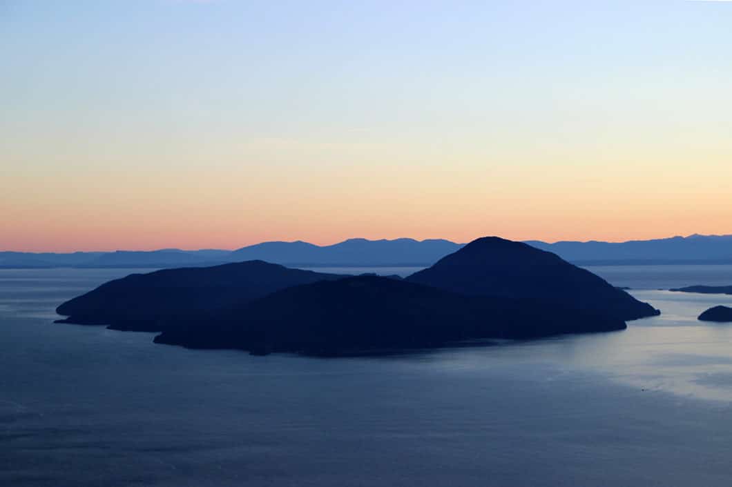
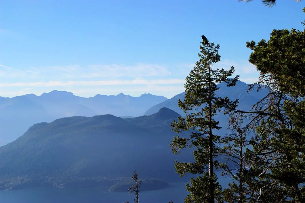
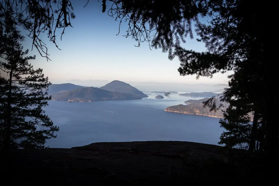
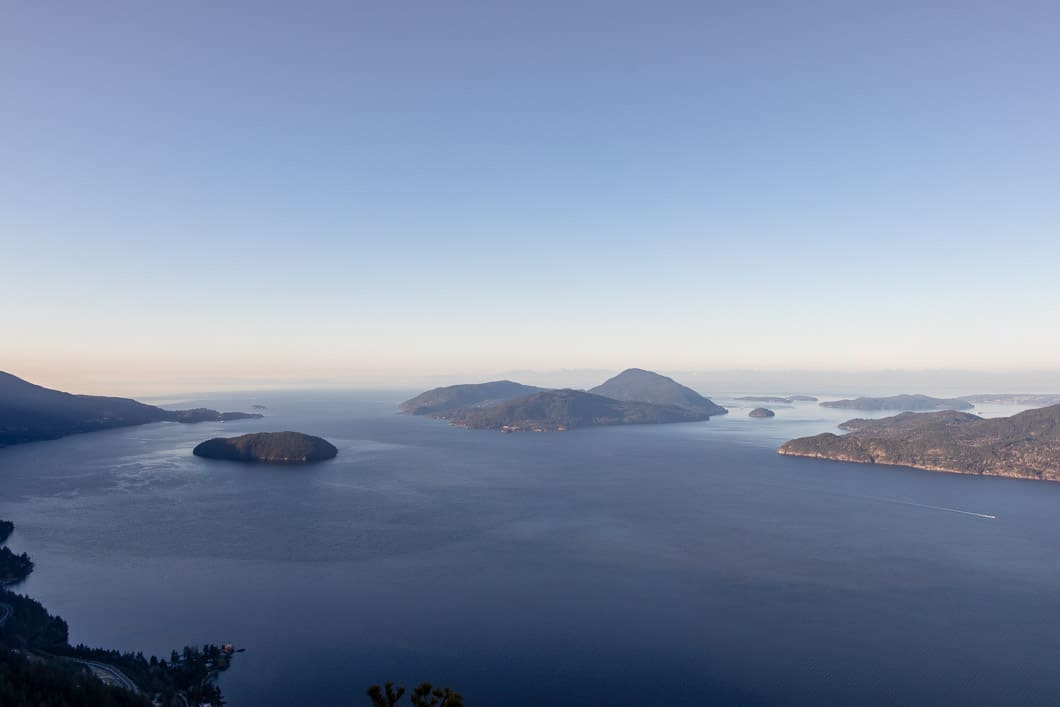
Tunnel Bluffs is a scenic hike near the town of Lions Bay. From Tunnel Bluffs, you have an unbeatable view of Howe Sound and its many islands. The sunsets from Tunnel Bluffs are spectacular.
The Tunnel Bluffs hike is popular and we recommend doing this hike during off-peak times. As a lower elevation hike, Tunnel Bluffs is snow-free for much of the year and can usually be hiked early in the spring and late into the fall. We encourage you to avoid this hike on the weekends during the summer due to limited parking near the trailhead.
The route described below mostly follows the Mount Brunswick and Hat Mountain Trails. The first portion of the hike is steep and uneventful, climbing 2 km up a service road. After that, the trail becomes more interesting, meandering through the scenic forest and over several creeks before reaching the lookout of Tunnel Bluffs.
Tunnel Bluffs Hike Stats
Rating: Moderate
Distance: 11.5 km
Net Elevation Change*: 467 m
Highest Point: 686 m
Time Needed: 4 Hours
Type: Out-and-back
Season: March to November
Dogs Allowed: Yes, on-leash
Est. Driving Time from Vancouver: 45 Minutes
Trailhead Coordinates: 49.470989, -123.234799
*For a better understanding of the stats and difficulty rating, check out the Hiking Guides page for details. Always carry The Essentials and fill out a trip plan.
Tunnel Bluffs Video
Here is a 10-minute video overview of our experience hiking the Tunnel Bluffs Trail!
Tunnel Bluffs Hike Map and Elevation
Tunnel Bluffs
Profile
Tunnel Bluffs Hiking Route
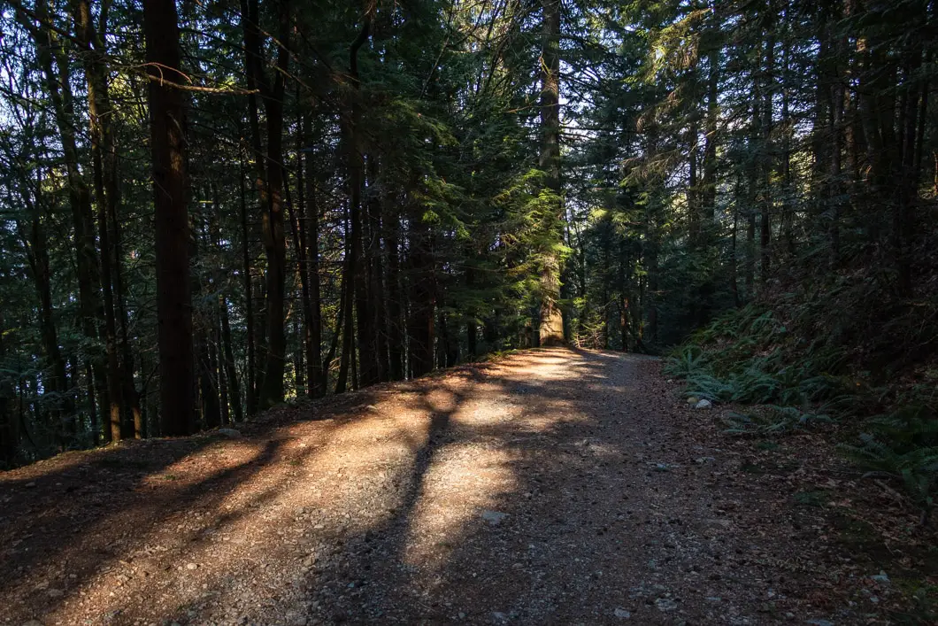
From the parking lot (directions), walk up the gravel road that begins after the yellow gate. The trail begins to climb, and in about three minutes you’ll pass by a junction on your left for the Harrison Trail. Stay on the road and continue past the water station which will be on your right.
After about 15 minutes, one kilometre, you’ll come to an open clearing on your right. There’s a split in the road here with a gated area straight ahead. Go right, and continue following the road up the hill.
Keep grunting up the road and its many switchbacks. This part of the hike is the least exciting, but the good news is you’re getting most of the elevation gain out of the way early.
After about two kilometres, (half an hour) you will reach the junction where the trails for Brunswick Mountain and The Lions diverge. There are signs in a tree at this junction. Make sure you go left, onto the Brunswick Mountain Trail.
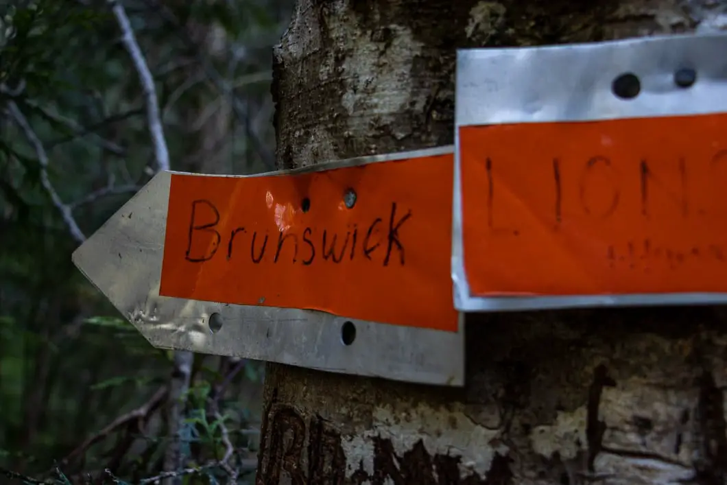
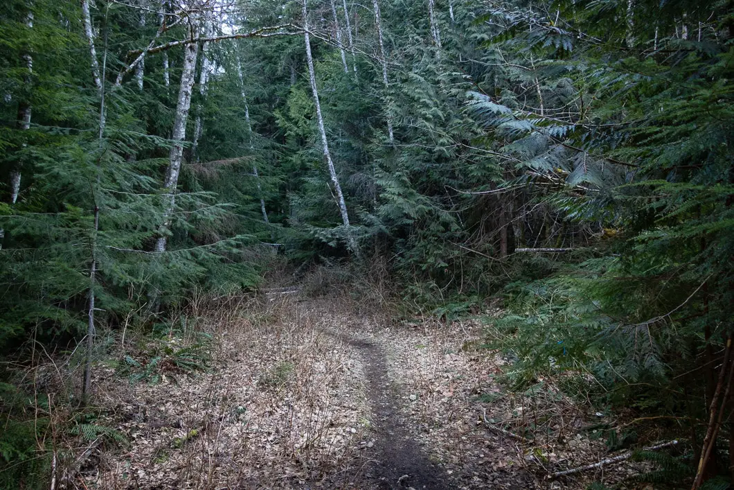
The Brunswick Mountain Trail leaves the road and narrows as it heads into the trees. The trail flattens out after leaving the gravel road.
You will cross over a small stream and then carrying on a little longer, you’ll come to a makeshift log bridge over Magnesia Creek. This bridge is roughly 2.8 kilometers into the hike and, depending on pace, about 40 minutes into the hike.
Cross the creek and follow the trail as it carries back into the woods.
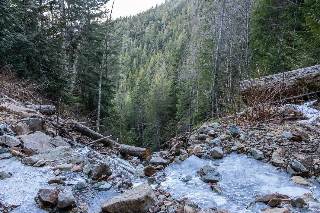
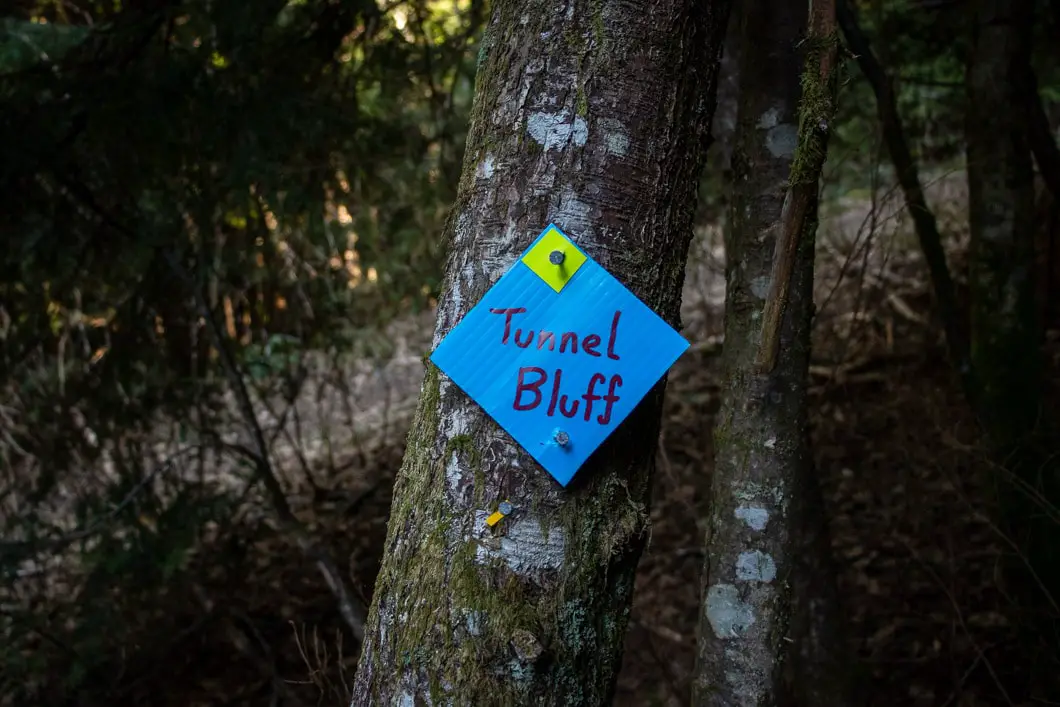
Shortly after the Magnesia Creek bridge, you’ll see some markers that have been nailed into a few stumps on the side of the trail. They read ‘Brunswick Mountain’. Pay attention for a trail that splits down to your left. There should be a marker here that reads ‘Tunnel Bluffs’.
This is where you will leave the Brunswick Trail and drop onto the Hat Trail. Continue carrying along north, now on the Hat Trail. The trail remains relatively flat and easy to follow.
Roughly one hour or 4 km into the hike, you will come to another creek crossing at a large opening. You’ll get some partial views of Howe Sound to your left.
A few minutes later, you’ll come to a short section of scree. Just beyond that, there’s another creek crossing. This one has another log bridge with a rope handrail to help you get across safely. This is M (Yahoo) Creek.
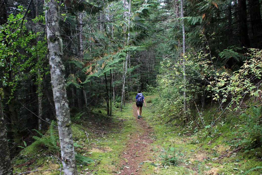
After about five more minutes, you will come to the junction with the Tunnel Point Trail down to the parking lot at the Sea to Sky Highway. There is a trail map here.
You will soon come to another junction which is clearly marked. Go left at this junction (going right takes you along to Hat Peak, another 6 km away).
Download the PDF version of this guide for offline use
Tunnel Bluffs, to the left, is only 500 m away. The trail climbs and dips a bit during the final few hundred meters, but soon you will emerge from the trees to an incredible sight.
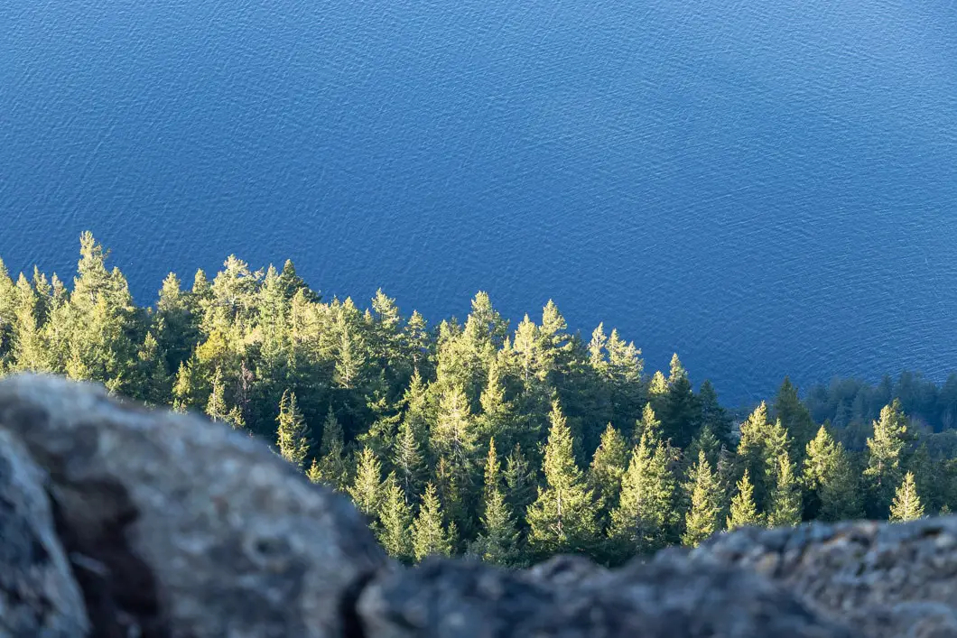
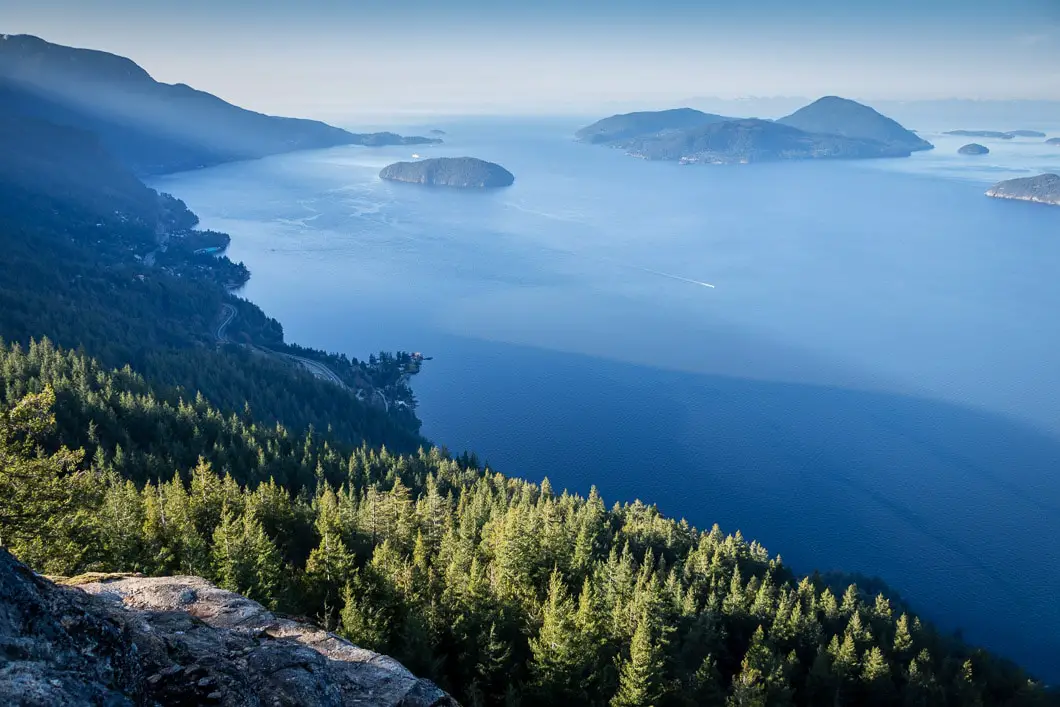
You will reach the large, open outcrop of Tunnel Bluffs and be rewarded with an expansive view of Howe Sound. You can see Bowen (Mount Gardner), Gambier, Anvil and Vancouver islands (to name a few).
On a sunny day, the shimmering water is remarkable, and you can see the BC ferries making their way to and from Horseshoe Bay. There is plenty of room on Tunnel Bluffs to stretch out, have lunch, and soak up the views.
Directions and Parking
Take the Sea to Sky Highway (BC-99) north from Horseshoe Bay towards Lions Bay.
Take the Lions Bay Ave exit. Merge onto Oceanview Road and take a left onto Crosscreek Road. Take a right onto Center Road and a left onto Bayview Road. Follow Bayview Road all the way up to its end and turn left onto Sunset Drive. At the end of Sunset drive you will find a limited number (15) of pay-parking spots.
If parking is full, you’ll need to drive back down the road until you find a suitable parking spot east side of Mountain Drive or use the lower parking lot at the Lions Bay Elementary school.
Please refer to the Lions Bay website for the latest information on parking.
Google Map directions are here.

Other great hikes in this area
- Brunswick Mountain (difficult)
- St. Mark’s Summit (moderate)
- Sea to Summit Trail (difficult)
- View all hiking guides here
Download the PDF version of this guide for offline use
360° Photosphere (click and drag to look around)
Tunnel Point Trail (Old Route – Discouraged)
Tunnel Point Trail Stats
Rating: Moderate
Distance: 8.5 km
Net Elevation Change*: 635 m
Highest Point: 686 m
Time Needed: 4 – 5 Hours
Type: Out-and-back
Season: May to November
Dogs Allowed: Yes
Est. Driving Time from Vancouver: 45 Minutes
Trailhead Coordinates: 49.484968, -123.247973
Tunnel Point Trail Map
Tunnel Bluffs
Profile
Tunnel Point Trail Route
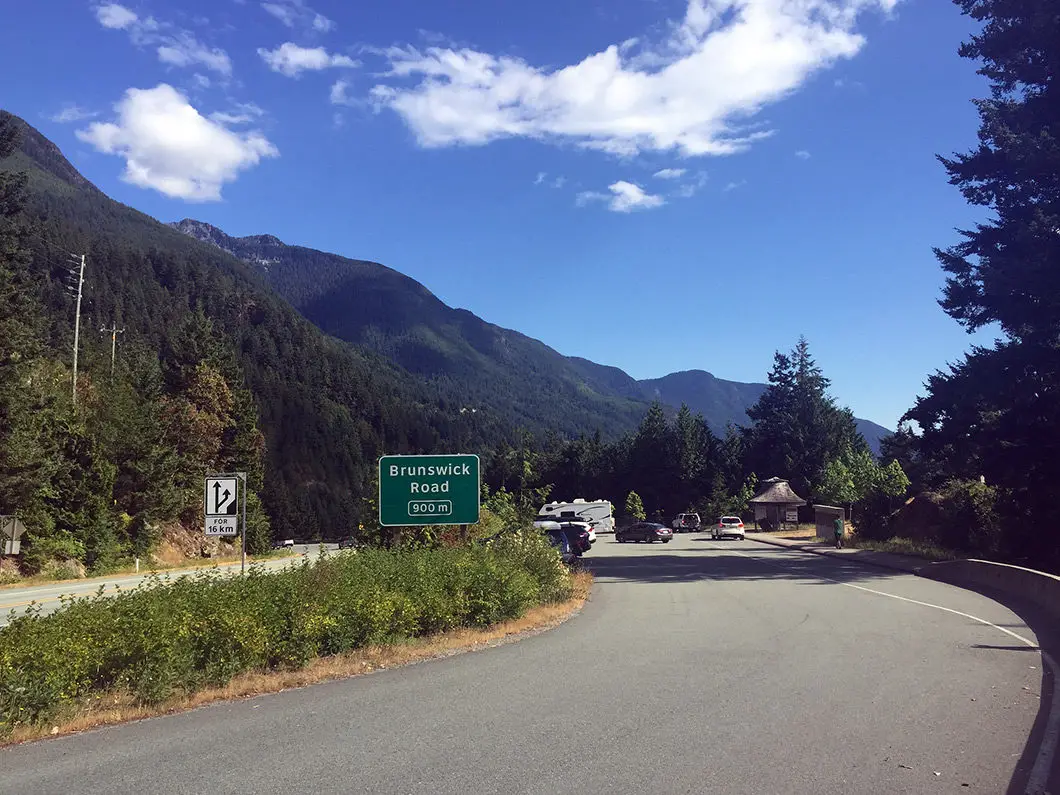
The trailhead for the Tunnel Point Trail is on the east side of the Sea to Sky highway, directly across from the tourist pullout parking area 3 km north of Lions Bay. To start the hike to Tunnel Bluffs, you must swiftly and carefully get across the highway. Be very cautious here, for obvious reasons, as the cars are flying fast around tight corners in both directions.
Once you get across the highway, you will see some flagging in the trees. There are actually two separate trailheads here, but both will quickly join together. One of the trailheads has a signboard, with a map of the area. This trailhead is located directly across from the northernmost end of the parking lot.
Once underway, the trail is well-marked and easy to follow. You will find plenty of yellow markers in the trees, and orange spray paint on some rocks guiding you along the way. Immediately, you will begin climbing steeply uphill into old-growth forest of arbutus and Douglas fir trees. There is no respite from the climb during the first hour of the hike. If you have trekking poles, it is not a bad idea to use them for this hike – especially on the way back down.
Take your time and settle into the climb. After about 15 minutes, you will come a to viewpoint just off to the side of the trail. You can see the highway below you, and a nice view of Howe Sound and Anvil Island. All told, there are about a half-dozen or so lookouts on the way to the top of Tunnel Bluffs. For these viewpoints, you will find green ‘View’ triangular markers posted to trees below the yellow markers.
Not all of them are obvious, so you may pass by a few of them without noticing. But the viewpoints are worth the quick detours, to enjoy the scenery and catch your breath. You might notice some on your way back down that you missed on the way up. Don’t worry about missing any of the viewpoints, however, as none of them beat what’s waiting for you at the top.
Moving on from the first viewpoint, the trail continues to be steep and rooty. You will come to section with a thick yellow rope is in place to assist your climb. Following the trail, at 2 km, you will reach another viewpoint at roughly 580 m elevation, looking onto Brunswick Mountain.
Soon after, at about 600 m elevation, you will come to another steep section with a rope to assist your climb. Shortly after the rope, the trail levels and you emerge onto the remnants of an old logging road which is slowly being reclaimed by the forest. This is a peaceful and scenic part of the hike, with magnificent trees all around. Here the grade becomes much flatter, and the trail much smoother. All the hardest climbing is behind you, but another 45 minutes or so of hiking remains.
There are a few small stream crossings once you are on the flat section of trail. Depending on the time of year, only one small stream may actually have any water flowing, and this is your only opportunity to refill on water during this hike.
Shortly past the creek, you will reach a major junction. Go left. This junction is clearly marked, and going right takes you on the trail towards Brunswick Mountain (an incredible hike, but not our objective today). The trail here continues to be nice and flat.
You will soon come to another junction, again clearly marked with a map and markers. Go left at this junction. Head along the trail for about 15 more minutes before reaching the lookout.
Directions and Parking for Tunnel Point Pullout
Please note a 30-minute parking restriction is in place here, and it is illegal to run across the Sea to Sky Highway to access the trailhead.
Heading from Vancouver, the parking lot is about 3 km north of Lions Bay. You will cross over a small bridge over a creek marked “M”, and the parking lot is about 100 m further. However, you will need to drive about 1 km past the parking lot before you can get to a turnaround point. If you reach Porteau Cove, you’ve gone too far. Turn around when you can and pull into the parking lot. It will be marked as a rest area/ viewpoint.
Google Map directions are here.


Sian Madoc Jones
Hey the parking/trails at the end of sunset drive were closed off/shut down with tape and an official looking sign, when I went today – April 5th
Karl W
Shoot, haven’t seen anything official posted about that being closed.
I’ve put a note up for now on our COVID-19 Trail closures page for and will see if I can find any more details.
Thanks for the update and sorry to hear you weren’t able to get your hike in.
Natalya
Very beautiful location! Can you actually camp there?
Karl W
People have camped at the top, though I’m not sure of whether or not it is legal to do so. I have also heard that as this spot becomes more popular, people have been chopping branches from living trees for firewood, and disturbing the vegetation. Please observe Leave No Trace principles at this location.