West Coast Trail – Table of Contents
- Hike Introduction
- WCT Video
- Hike Statistics
- Map and Elevation
- History
- Who Should Hike the WCT
- Reservations and Fees
- Getting There
- Accommodations
- Trail Etiquette
- Advice for the Trail
- FAQs
- Hiking Route Description
- Gear
- Resources
- Free PDF Download
West Coast Trail – Hike Introduction
The West Coast Trail, or WCT. It’s a bucket-lister for hikers from all over the globe.
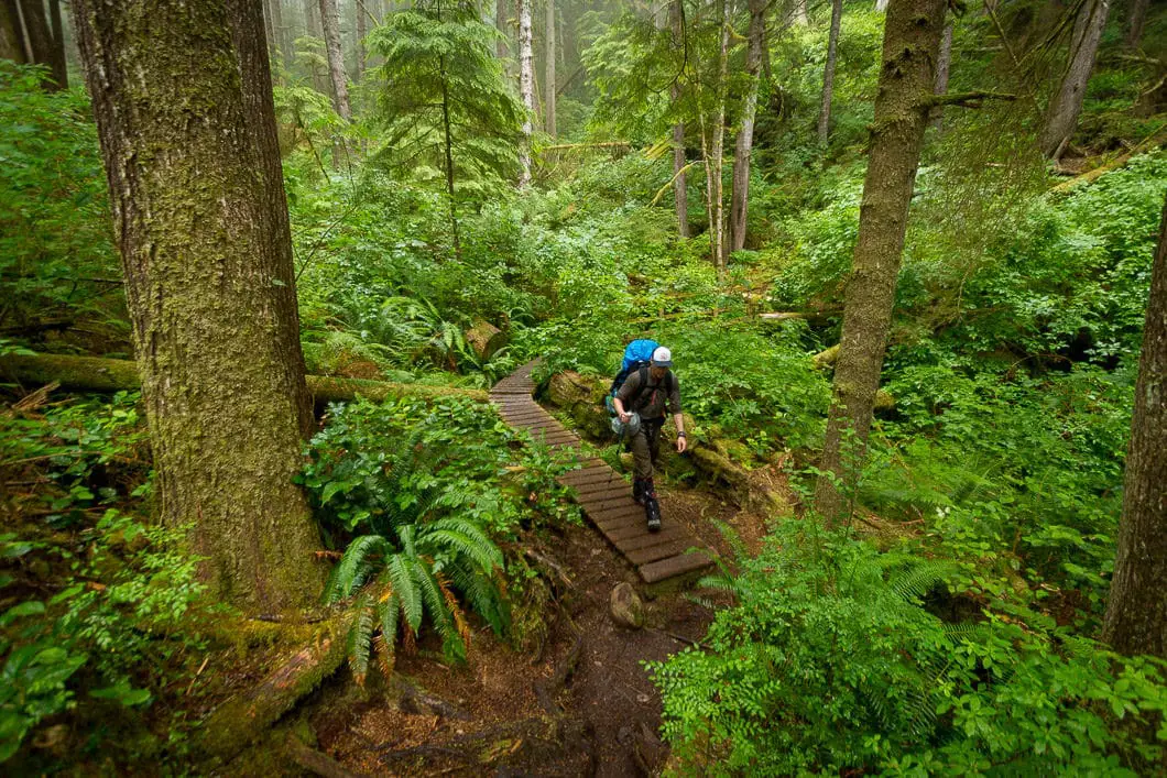
Located on the remote, west coast of Vancouver Island, the 75 km trail offers an unforgettable experience. Deep sand, torrential rains, strong winds, river crossings, cable cars, countless ladders, thick mud, slippery logs, slippery rocks, slippery roots, slippery boardwalks, and slippery… everything, make the West Coast Trail a journey where every step is earned.
It’s remote. It’s hard to get to. Every other day on average, someone is aided off the trail by Coast Guard. And it’s not free. In fact, including reservations, fees, food, gear, and transportation, hiking the West Coast Trail is quite expensive.
So why bother? Why do nearly 7,000 hikers flock here from all over the world each year? Why do the best dates get reserved instantly after reservations open for the year?
I believe there are two key reasons. First, for exactly all the reasons listed above. It offers a challenge. The West Coast Trail is not a walk in the park. It forces you to put all your energy into the task at hand. Putting one foot in front of other, until you’ve made the 75-kilometer journey.
And second, it is really, really, ridiculously good-looking. The West Coast Trail is British Columbia at its best. Wolves, black bears, eagles, cougars, humpback whales, seals, sea lions, dense forest, lakes, rivers, creeks, streams, waterfalls, beaches, caves, lighthouses, and rugged coastal features jutting out of the Pacific Ocean all come together to leave you in awe at almost every corner of the trail.
WCT Video
West Coast Trail video overview – this video is a 5-minute montage of the highlights of our hike of the trail:
West Coast Trail Hike Stats
Distance: 75 km
Net Elevation Change*: 230 m
Highest Point: 230 m
Time Needed: Multi-day
Type: Point-to-point
Season: May – September
Dogs Allowed: No
Est. Driving Time from Vancouver: Half-day
Trailhead Coordinates: Gordon River: 48.576863, -124.416529, Pachena Bay: 48.792879, -125.115281
*For a better understanding of the stats and difficulty rating, check out the Hiking Guides page for details. Always carry The Essentials and fill out a trip plan.
West Coast Trail Hike Map and Elevation
West Coast Trail
Profile
History of the West Coast Trail
The story of West Coast Trail begins as an ancient path used for trade and travel by the First Nations. This was, and is, the land of the Huu-ay-aht, Ditidaht, and Pacheedaht tribes.
As ship traffic increased in the late 1800s, so did the number of shipwrecks off the treacherous west coast of Vancouver Island. The coastline was known as ‘the Graveyard of the Pacific’, and nearly 50 ships have gone down here over the last 100 years [source]. Pieces of some of these wrecks can still be seen scattered along the WCT at low tide.
To aid the passing ships, the Government of Canada built the Cape Beale Lighthouse in 1893 and the Carmanah Lighthouse in 1891.
These lighthouses were connected by a telegraph line to Victoria for communication. It was the telegraph workers who established and maintained this line that first started to build the West Coast Trail as we know it today.
Still, ships kept sinking in the unforgiving waters of the Strait of Juan de Fuca. In 1906, 125 lives were lost when the steamship Valencia sunk. As a result, the Pachena Lighthouse was built in 1907. Further, the rugged telegraph route was upgraded to become the Dominion Life Saving Trail. This trail had shelters stocked with supplies to aid shipwreck survivors.
Over time, advancements in navigation and sailing technology made this trail unnecessary. Maintenance stopped in the 1950s. In the 1960s, logging companies wanted to cut the area. Fortunately, due to the efforts of conservationists, The Pacific Rim National Park Reserve was established in 1970. The Dominion Life Saving Trail became a recreational-use trail in 1973, known as the West Coast Trail.
Who Should Hike the WCT?
You should only consider doing the West Coast Trail if you:
- Have extensive hiking experience, ideally with overnight trekking.
- Are in good shape, with no heart conditions.
- Are over the age of 6 (minimum age requirement). The recommended age is over 12.
- Are prepared to be self-sufficient in the backcountry. If you are injured, it may take more than 24 hours for Coast Guard to reach you. The Coast Guard has limited resources and they rescue based on the severity of the injury. If someone else is more injured than you, you wait in line.
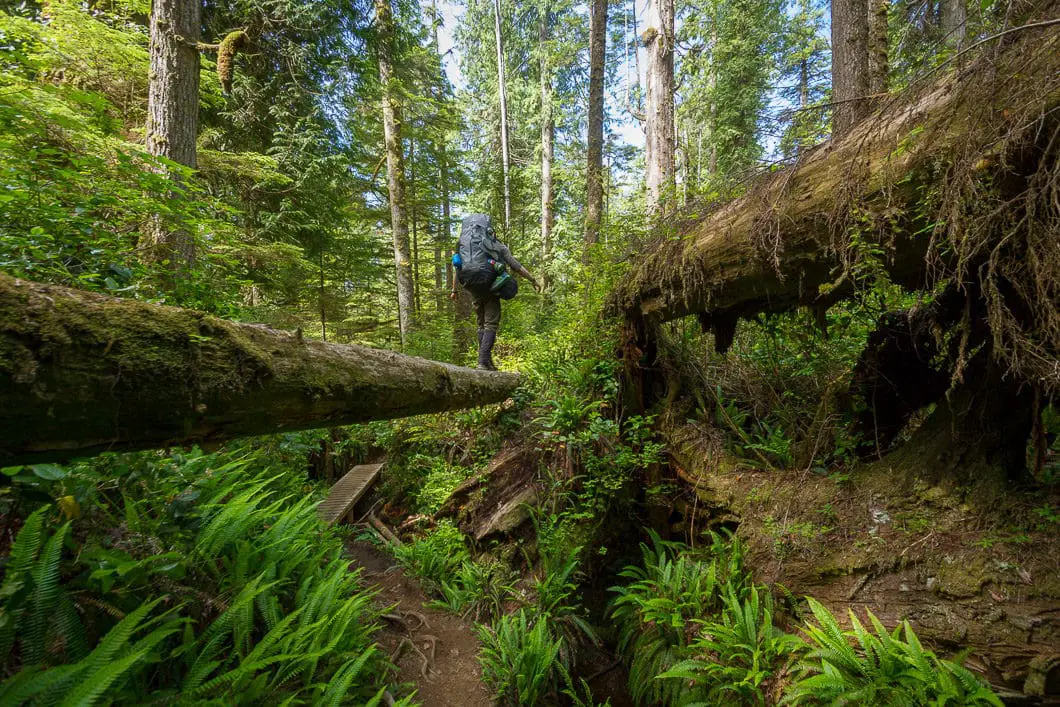
- Able to climb ladders or navigate rugged terrain, and log bridges with a 40+ lb backpack on.
- Have prepared for the hike, including learning how to read tide tables.
- Have good trail etiquette, and respect the environment.
- Have a good sense of humor about hiking in the rain for extended periods of time.
An alternative trek on the west coast of Vancouver Island is the Juan de Fuca Marine Trail. It is shorter than the WCT and doesn’t require securing a permit in advance.
Reservations and Fees
Click to expand:
Reservations
The West Coast Trail is open to hikers from May 1 to September 30 each year. The trail is unsafe to hike the remainder of the year due to heavy storms.
As of 2018, all overnight West Coast Trail spots are reservable. All hikers now require a WCT overnight user fee and a valid National Park Entry Pass. Day hikers require a WCT Day Use Permit and a valid National Park Entry Pass. All youth 17 and under receive free entry to Canada’s National Parks.
Standby spaces are no longer available, all spaces are reservable.
The maximum group size is 10 people.
Day hikers must enter and exit the trail on the same day, and at the same location.
There are 3 possible entry/ exit points: Pachena Bay (north), Nitinaht Village (mid-point), and Gordon River (south).
Reservations for Gordon River, Nitinaht Village and Pachena Bay entries are available online and through the Parks Canada Call Centre up to 2 days prior to departure.
Call Centre Reservations are available from 8 am PT – 6 pm PT January 8th – September 30th at 1-877-737-3783 (Canada & USA) or 1-519-826-5391 (International).
Fees
As of 2018, hiking from Pachena Bay to Gordon River (or vice versa) costs $192 per person, inclusive of taxes. There is an additional Parks Canada entry fee of $7.80/day for adults, $6.80/day for seniors, and $15.70/day for families.
The costs break out as follows:
– Reservation fee: $24.50
– WCT overnight permit: $127.50
– Gordon River ferry fee: $20
– Nitinaht Narrows ferry fee: $20
– National Park entry fee (per day): Adult $7.80. Senior $6.80. Family $15.70. 17 and under, free.
If you are starting or ending at Nitinaht Village (mid-point), you will only need one of the two $20 ferry fees. But the water taxi fee for entry/exit at Nitinaht Village is an additional $62.50.
The money goes to help maintain the badly wearing boardwalks and ladders, and also towards funding the rescue operations.
Other costs
Additional costs to consider:
- Vancouver Island is… an island. Unless you live there, you will need to either fly in or take a B.C. Ferry.
- There is the cost of gas.
- There is the cost of camping or hotel if you will be staying anywhere on the island before you begin hiking.
- There is all the food you will need to bring with you.
- There is the trail bus or water taxi to get back to your car or to the trailhead once you drop your car.
- There is the hiking gear you will need to buy if you don’t already have it.
- There are also two opportunities to buy food along the trail. It is wise to bring cash for these (more details below).
Getting There
Getting to the West Coast Trail for your orientation can be a journey in itself. First you will need to get to Vancouver Island by B.C. Ferry or by airplane (Victoria has an international airport).
The West Coast Trail is a thru-hike, so arranging your transportation to and from the entry and exit points must be carefully planned in advance.
The West Coast Trail has three trailheads: Pachena Bay (Bamfield), Gordon River (Port Renfrew) and Nitinat Village.
If you are driving, you will need to either leave your car at your point of exit and commute to your start point. Or, you will need to leave your car at your entry point, and find a way back to it when you complete your hike.
There are a few possible ways to do this.
The most common way is to use the Trail Bus which runs between Port Renfrew, Victoria, and Bamfield. It takes about 6 hours to get from one end to the other on the Trail Bus.
Other options are chartering a seaplane or water taxi. We were able to find a water taxi out of Bamfield, which was a terrific option. It was faster and more enjoyable, and only slightly more expensive than the Trail Bus. There is no regularly scheduled taxi or seaplane service so it can be hard to arrange this. Depending who you find, they may be dependent on having someone on the opposite end wanting to come back the other way, the same day, or it’s not worth it for them. You are also at the mercy of the seas, so if you get a bad weather day, the water taxi or seaplane may get canceled. In that case, have the Trail Bus as a backup plan.
We used GPO Charters for our water taxi, which has now moved to Ucluelet, and no longer runs the route between Gordon River and Bamfield. Some options water taxi/ seaplane options are in the resources section at the bottom of this hike.
Vehicles can be left at a few spots near the access points. Do not leave anything valuable in your car, it’s an easy target while you are gone!
For driving, getting to Port Renfrew (Gordon River) is much easier, at about 2 hours from Victoria on a paved road.
Driving from Port Alberni to Bamfield (Pachena Bay) requires 2 hours on a narrow gravel logging road, with logging traffic. It’s not suited for everyone!
Another option to reach Bamfield is to take the Frances Barkley boat operated by Lady Rose Marine Services (passengers only) from Port Alberni if you don’t want to drive on the gravel logging road.
To reach the Ditidaht First Nation Visitor Centre in Nitinaht Village, you must drive on gravel logging roads from Port Alberni for about 2 hours, or 2.5 hours from Duncan.
Check out the resources section for more links to further investigate travel options.
Accommodations
The town of Bamfield is close to the Pachena Bay access point, and the town of Port Renfrew is close to the Gordon River access point. Both of these towns have a few options for accommodations if you need them before/after your trek.
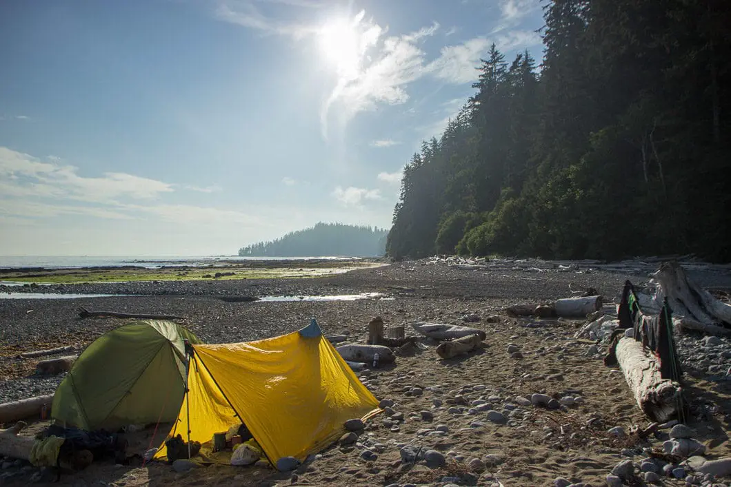
For camping, there is one campsite close to each of the trailheads.
Gordon River has the Pacheedaht First Nations Campground (no website) and Pachena Bay has the Pachena Bay Campground. Finally, Nitinaht Village has the Nitinaht Motel or campground there as well.
Trail Etiquette
Each hiker is responsible for hiking with a minimal impact on the environment. Below are some etiquette guidelines, but these are by no means comprehensive. As always, it is best to hike by Leave No Trace principles (link in the resources section for more info).
Here is some of the basic etiquette to consider:
- Pack out everything. There are no garbage cans on the West Coast Trail.
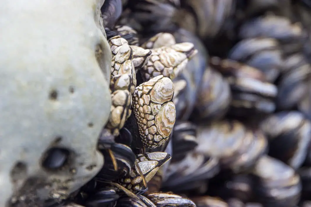
- “It is an offence under the Canada National Parks Act to collect, remove, destroy or deface any natural or cultural heritage resource within national park reserve boundaries. This includes defacing artifacts, cutting trees for firewood or makeshift shelters and collecting or removing marine life, shellfish, fossils, artifacts, plants, etc.“
- Fires. Fires are permitted with a few considerations. Use only driftwood and do not cut any trees branches or any other living vegetation to use in your fire. Driftwood smaller than your wrist should be used. Fires should not be relied on for cooking food and you should have a camping stove. Fires must be below the high-tide line on the beach and cannot be started in the forest. When finished with the fire, fully extinguish it with water. No trace of the fire should be left behind.
- Water. Help keep the drinking water sterile. Use outhouses at the campsites and do not relieve yourself anywhere near a stream or source of freshwater. If no outhouse is near, dig a hole 7 inches deep, 100 feet away from any water source and off the trail. Cover the hole. Pack out your toilet paper, or dispose of in one of the campsite outhouses. Bath and wash dishes in the ocean or at the mouths of rivers. People downstream don’t want your germs in their drinking water. Use biodegradable soap.
- Food storage. Use the metal food lockers provided at the campsites to store your food and deter wildlife. If the lockers are full, hang your food in a tree, away from your tent. Remember to take everything with you when you leave the campsite.
Advice for the Trail
My general advice for the West Coast Trail: Prepare and plan, and then plan and prepare some more. Do all your homework in advance. Understand the rules of your reservation. Your requirements for orientations and when they’re available. Think carefully about much food you’ll need. Reduce weight at every possible chance – remove wrappers in advance, and leave behind non-essential items. Know the ferry times.
Plan a route and agree upon everything with your hiking partners. Then, be ready to throw everything out the window once you begin the journey.
Things likely won’t go according to plan once you begin hiking (or even when you’re traveling to the trailhead for that matter). Certain days may be slower going than you thought. You may miss a low-tide window you were planning on for hiking on the beach. Be flexible and go with the flow. Don’t get overly set on any particular campground or route on any given day. Take it all in stride and enjoy the trials and tribulations of the trail!
A few more tips:
- Beware that some beach routes cannot be taken at high tide. Understand how to read a tide table (you will be given one during orientation).
- Bear bins at the campsites can get full. People tend to go to sleep early. If you want to use the bins and not hang your food, try to finish your dinner and pack everything away early in the evening to get a spot.
- Leave nothing scented in your backpack or clothes pockets. Forget the bears, the mice will eat that stuff up in a nano-second and gnaw nice holes in your clothes and backpacks to get at it.
- Trekking poles are very handy to have. They often break by getting stuck between roots or the slots in a boardwalk. If you normally only hike with 1 pole, you may want to bring 2 so you have a spare.
- Bring a blister kit.
- Treat all your water, always. Even the water you use to brush your teeth. And collect the water from as far upstream as possible. Nothing with sour your trip faster than a nasty stomach bug.
Frequently Asked Questions
Which direction should I hike? North to south, or south to North?
Honestly, it doesn’t matter. If you start in the south, you get the most difficult hiking over first, while your legs are fresh. The southern end is much more difficult hiking than the north end. However, your pack will be heavier since you will have all your food still. So you’ll be carrying the most amount of weight during the most difficult part. I think it comes down to personal preference. How you plan to get to the trailhead, and back to your car after, may be a bigger consideration than anything.
How do I get back to my car when I’m finished?
See Getting There.
Are there walk-on spots available?
As of 2018, standby spaces are no longer offered. You must have a West Coast Trail Overnight Use Permit and have a valid National Park Entry Pass, reserved at least 2 days in advance. More details here.
What gear do I need?
A list of gear is here.
Are dogs allowed on the trail?
Nope, Fido has to stay home.
Is there cell service along the trail?
Don’t count on it. It may depend on your exact location and who your provider is. You might have the best luck if you can roam onto a US carrier from the nearby United States.
Where do I relieve myself?
Luckily, each of the major campsites have composting outhouses. Otherwise, its preferred if you dig a hole in the forest or on the beach below the tide line, and cover it up. This is so your waste doesn’t make its way into a fresh water source. More details here.
When is the trail open?
The trail is open from May 1 to September 30. Reservations open in early January. Check the Parks Canada website for reservation dates as they may change year to year. More details here.
Do I need to worry about wildlife?
Yes and no. Yes, there is wildlife. But, no you shouldn’t worry too much. You do need to be prepared for an encounter. Know how to minimize your chance of an encounter, and how to behave if you see bears, wolves, cougars, etc. There are about 40 such encounters each year along the trail [source]. We have some basic wildlife safety info here.
Do I need to pay if I need a rescue?
No. You will not be charged by the Coast Guard if you are injured or unable to complete the hike. Call for help if you need it.
West Coast Trail Hiking Route
This guide is not written like the other hiking guides on this site, which provide a clear route description to get from point A to B. With the West Coast Trail, no two hikes are ever the same. You can hike from south to north, or north to south. You can complete the trail in one day, 10 days, or anywhere in between (the record is 9.5 hours). You can camp at your choice of 13 campsites (or choose your own spot to sleep). There are choices between inland and beach routes. Sometimes these routes are dictated by tides.
As such, the guide below is a personal trip report from my own hike of the West Coast Trail in 2017, and the route I took. Your route will vary. You may use this as a guideline for your own hike, or you may want to take an entirely different approach.
In hindsight, I don’t think I would change much about our approach to the West Coast Trail – from the logistics of getting to the trailhead, the direction we hiked, or the campsites we picked. If (let’s be real – when) I return, I’d change things up to experience different aspects of the trail. But, I’d recommend the overall guide below as a good plan of attack for a 6-day hike of the West Coast Trail, starting at Gordon River. That said, day 1 was grueling. I’d consider camping at Thrasher Cove on day 1 and making up the distance somewhere over the remaining 5 days with different campsite choices.
For detailed route and campsite descriptions, pick up one of the books listed below.
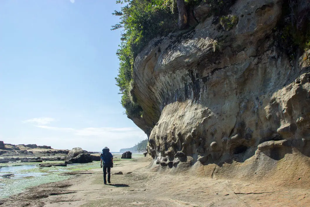
Hiking the WCT – Day 0
This 23-minute film, created by Jeff Pelletier, goes into detail about our hike of the West Coast Trail in 2017, and will give you a terrific sense of the beauty and challenge of the trail:
Leaving Vancouver, we caught the 9 pm ferry from Horseshoe Bay to Nanaimo. We then made the 3-hour drive to the WCT northern trailhead (Pachena Bay), arriving at 3 am in the morning. We got about 30 minutes of sleep in the car at the Pachena Bay Campground, where we parked the car for the week. We called the campground in advance to confirm we could leave our car there, thinking it would be safer there than the trailhead parking lot. They charged us $5/ day.
We geared up around 5 am, and made the 6 km walk into Bamfield along the paved road. At 6 am, we caught our water taxi out of Bamfield, due south to Gordon River/Port Renfrew – the southern WCT trailhead.
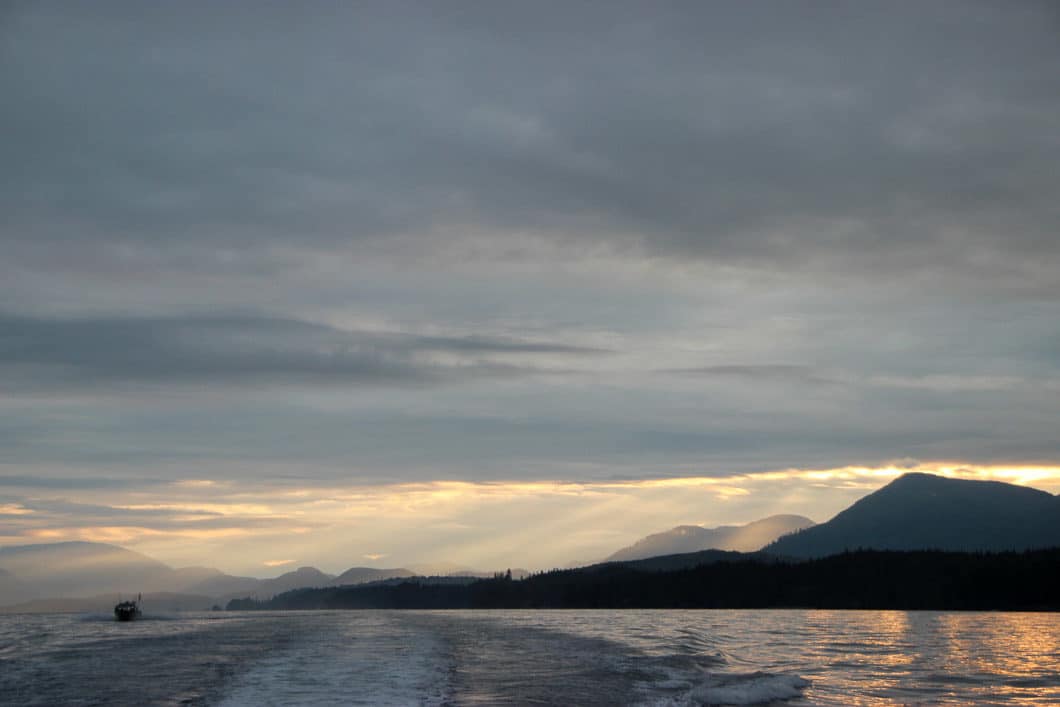
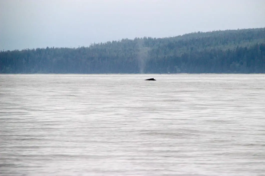
The water taxi was great. We caught the sunrise on the ocean along with two humpback whale sightings and had a terrific view of the rugged coastline we would soon be hiking. At 9 am, we arrived at Gordon River, sleep deprived and tired. At 10 am, we did the mandatory hiker orientation and received our hiking passes and trail map.
At noon, we set up our tent at the nearby Pacheedaht Campground. We slept for about 2 hours, then had the rest of the day to kill, which we promptly did by jogging into Port Renfrew. There we had coffee, beers, cod burgers and explored the town. It was a day well-spent.
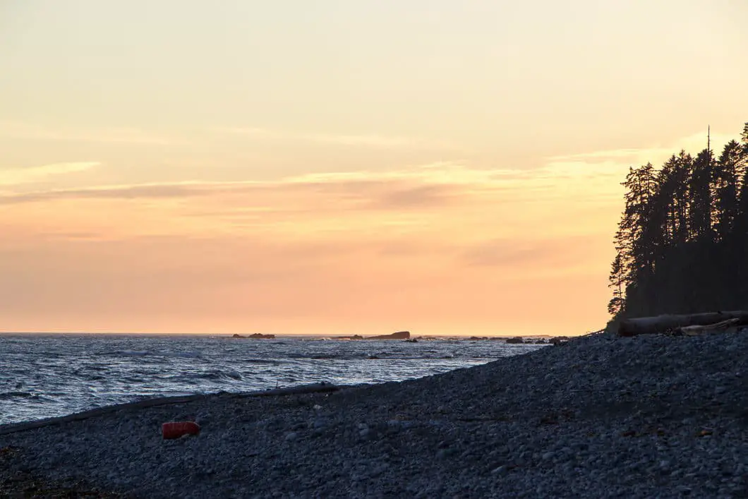
We returned to the campground around 7 pm to have dinner on the beach, watch the sunset, and get some sleep before the trek would begin.
Hiking the WCT – Day 1
We packed up our gear and caught the first ferry across Gordon River at 8:45 am. We scrambled up the massive first ladder to get onto the trail. It was raining slightly and this would be the only daytime rain we’d see until the final day of the hike. We got incredibly lucky with the weather on our trip. Not only did it not rain during our hike, but it didn’t rain the week before we arrived, which meant the trail was about as dry as it ever gets. It rained overnight, almost every night, but in the morning the clouds burned away, and we had terrific weather all week.
The trail began to climb up gradually and was rooty, and heavily forested. About 3 km into the hike, we passed by the old donkey engine which was neat to check out. There are also heavy cables used for logging long ago strewn about the trail in places.
We trudged from sea level up to 230 m elevation (the highest point on the trail). This first day of hiking was very slow going, and this truly is the toughest hiking of the entire trail. The view of the ocean was obstructed by the thick forest.
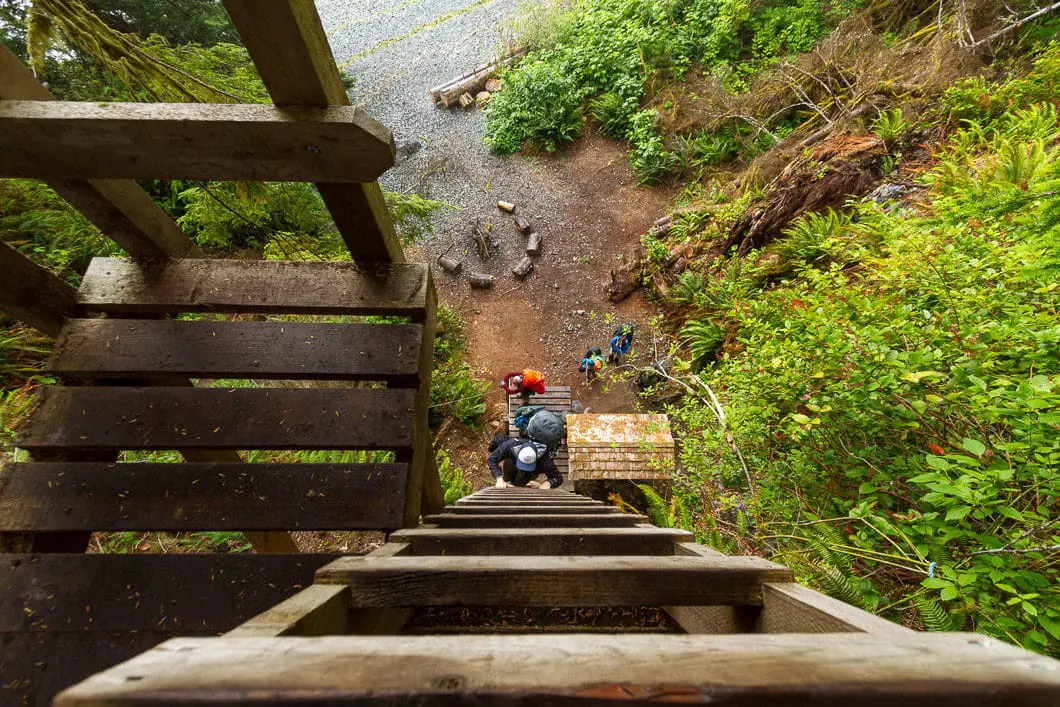
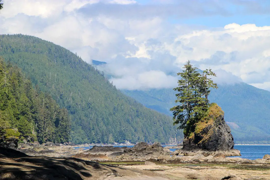
We had decided we were going to skip camping at Thrasher Cove and cover lots of ground on day one. Instead of heading down the ladders to Thrasher Cove, and taking the beach route, we carried along the inland trail as the tide was coming up. We heard scrambling over the huge boulders on the beach beyond Thrasher Cove is a lot of fun, so I’d recommend taking the beach route from Thrasher if the tide is low.
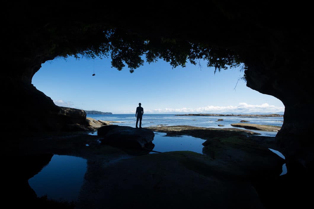
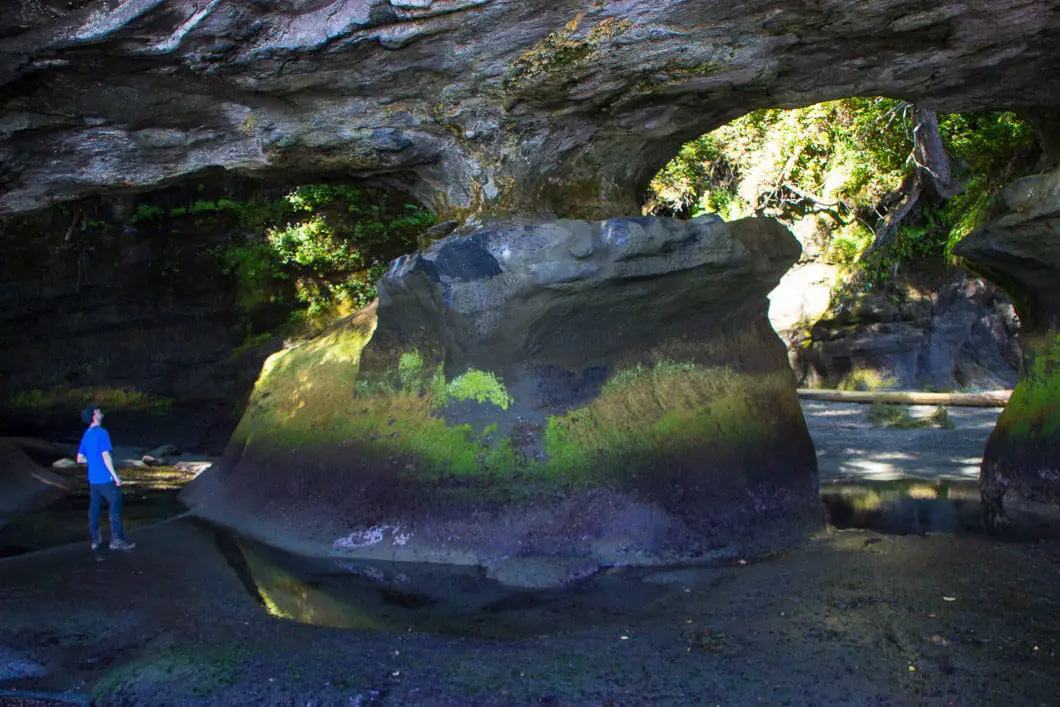
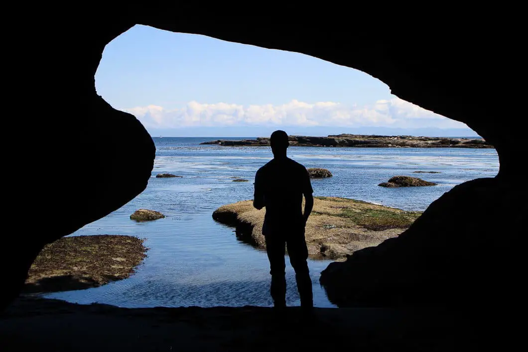
Luckily, we were able to drop our packs once we made it to the beach access outside of the Port San Juan Inlet. Without the weight of our backpacks, where were able to quickly back-track towards the cave at Owen Point. We had about 10 minutes of wriggle room to explore the cave before the incoming tide became too sketchy and we huffed it back out along the shelf to our packs. The Owen Point cave is definitely worth checking out.
We carried along the beach until we were forced back along the inland trail. After climbing many ladders and crossing many logs, we finally reached Camper Bay where we set up camp around 6 pm.
Camper Bay was busy but we quickly made friends with a friendly group from New Westminster/ Kelowna and their campfire. We incidentally ended up camping almost every night with this group.
Day 1 was a 13 km day by the map, but probably closer to 16 km with the detour to Owen Point.
Hiking the WCT – Day 2
We left Camper Bay and started our day of ladders. Lots and lots of ladders. Non. Stop. Ladders.
There was no beach access this day and we hiked the inland trail to Walbran Creek. We climbed down to, and across the Logan Creek Suspension Bridge, which is spectacular. And a little unnerving if you’re afraid of heights.
Since we started late and took our time taking videos/photos we didn’t reach Walbran until about 6 pm.
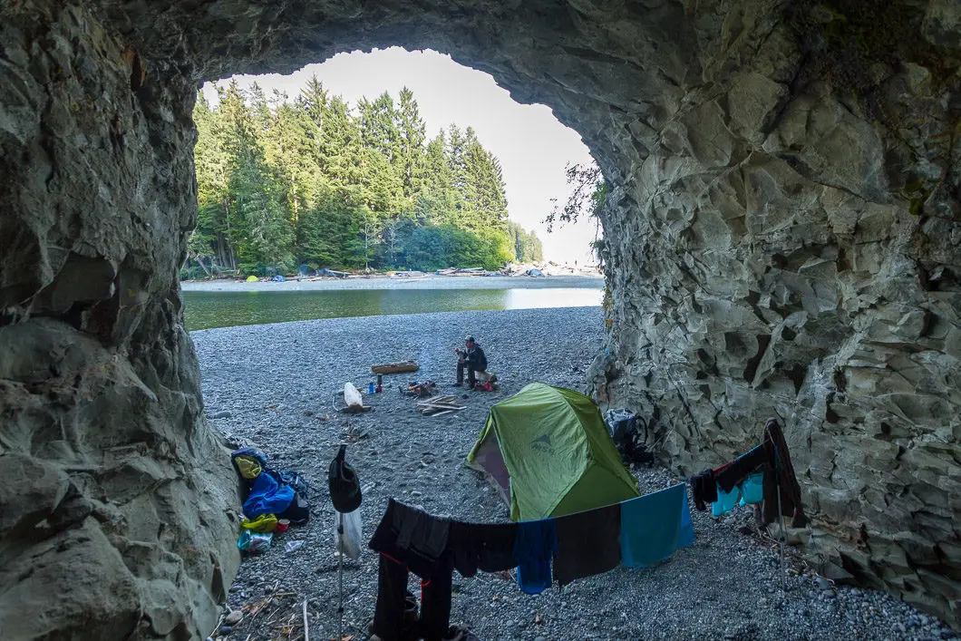
We set up camp on the far side of Walbran Creek in a nice little cave. This meant we didn’t have to worry about setting up the tarp to protect the gear from overnight rain. It also meant we were far away from the mice lurking in the driftwood, waiting to come out at night.
The mouth of Walbran Creek was deep and provided one of the best baths I’ve ever had (albeit a chilly one). The sun was hot, and swimming in a creek with huge cliff walls on either side of the creek was a breathtaking experience.
Campfire. Dinner. Bed.
Distance by the map for day 2: 9 km.
Hiking the WCT – Day 3
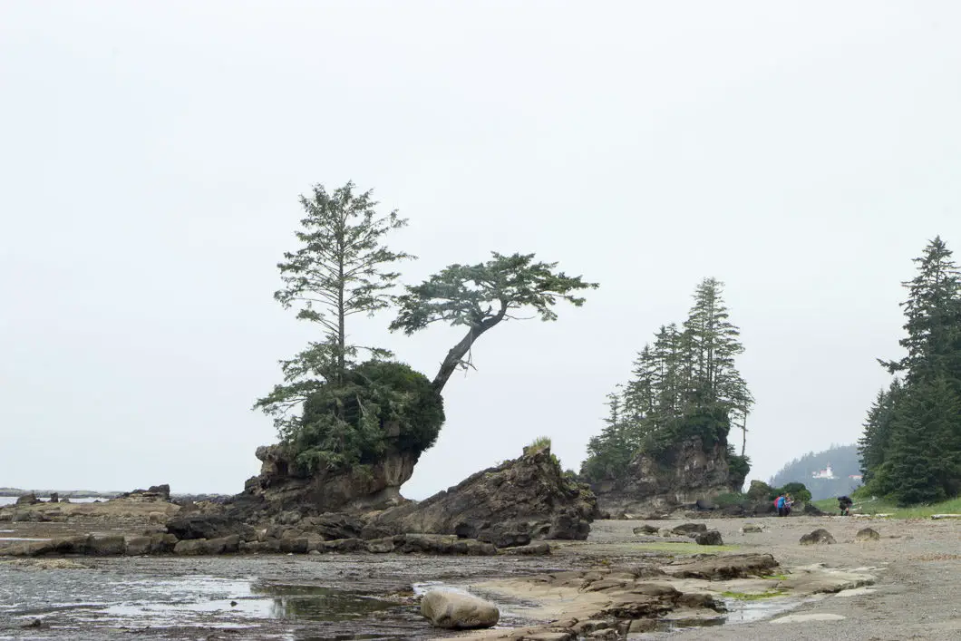
We left the Walbran campsite and took the cable car across the creek. We later found out there was beach access from the campsite and we had taken an unnecessary inland route (ie, more climbing, more ladders). Oops. But we popped out to the beach at Vancouver Point and the rest of the day was scenic beach walking.
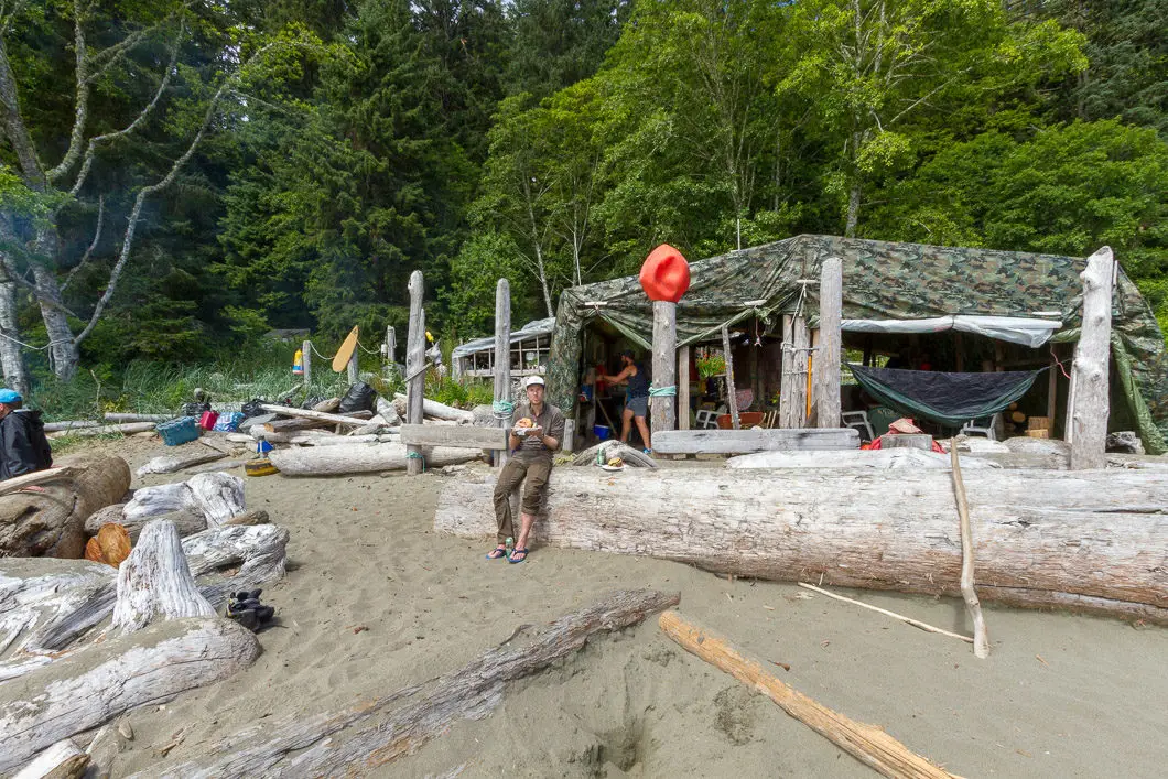
We arrived at Chez Monique’s infamous burger shack around noon. We promptly consumed $23 hamburgers, $3 bags of 5-cent candies, and $10 beers with delight. The sun came out in time for a quick nap in the hammock and some chatting with other hikers at the incredible food-trap.
Sadly, Monique Knighton passed away in January 2018. Her family has said they will keep the restaurant running, at least for the 2018 season. It’s truly amazing to have all that food out in the middle of nowhere.
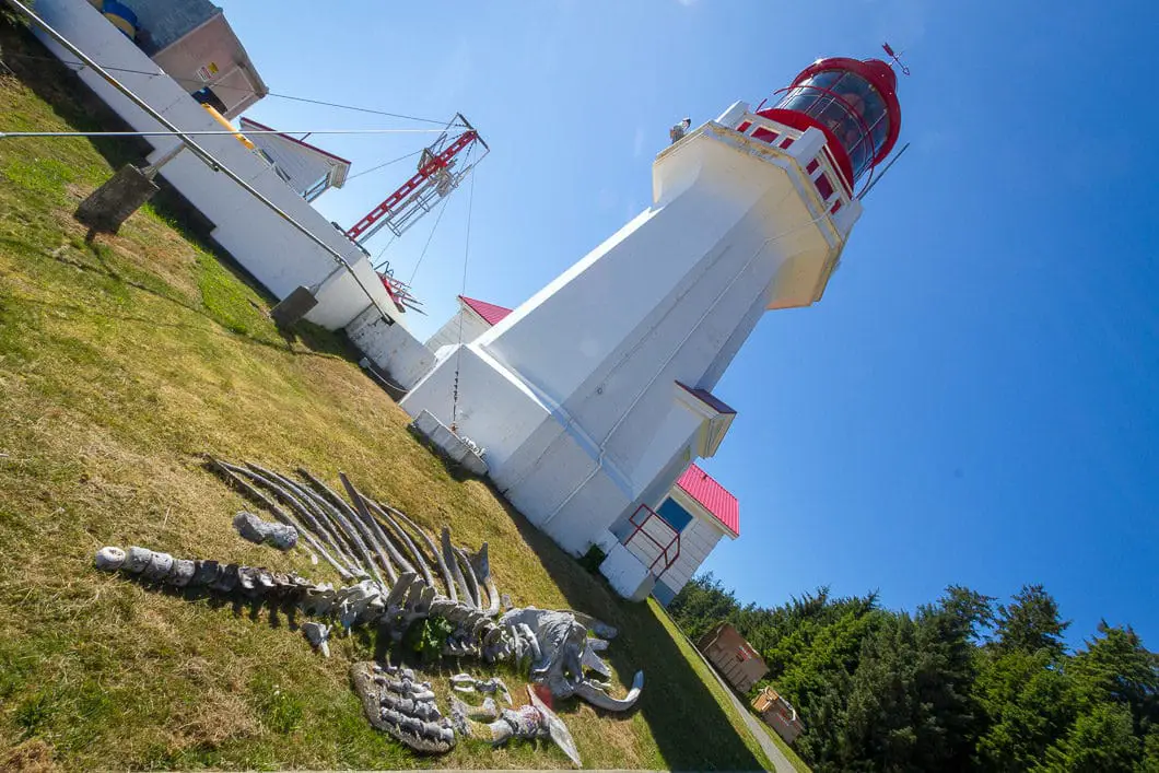
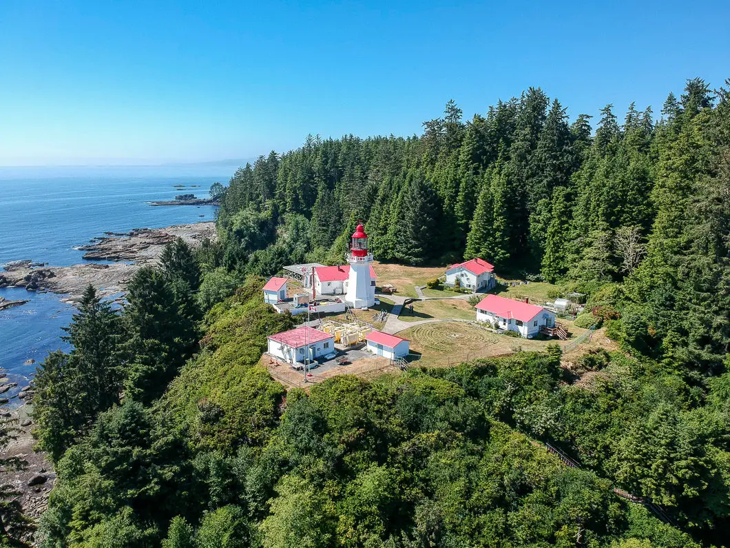
After way too much time, we finally left Chez Monique’s and climbed up to the lighthouse at Carmanah Point, which was gorgeous.
As we approached the Cribs Creek, we saw cougar tracks in the sand. We followed the tracks to… a pile of seagull feathers.
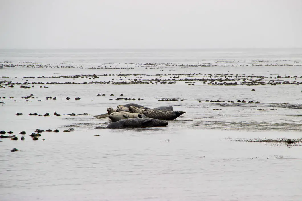
We made it to Cribs Creek campsite and set up for the night, with the sound of hundreds of sea lions bellowing out on the rocks off Carmanah Point.
Distance by the map for day 3: 11 km.
Hiking the WCT – Day 4
At 19 km, this was the longest distance day of our trip. The good news was that the hardest terrain was already behind us, and our packs were getting lighter. This was also an incredibly scenic day of beach hiking. We made great time through the boardwalks in the Ditidaht First Nations territory. These boardwalks were in great shape compared to most of the other boardwalks in the park, which are in shambles.
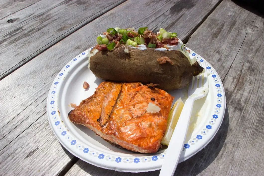
We arrived at Nitinat Narrows for one of my favorite parts of the trip; fresh salmon and beer! And by fresh, I mean the salmon was caught in the narrows in front of our eyes, brought to the dock, and grilled. The ‘Crab Shack’ at Nitinat was a treat – the people were super friendly and the food was amazing. After eating our fill and resting our legs, we hopped on the ferry across the other side of the narrows and continued hiking.
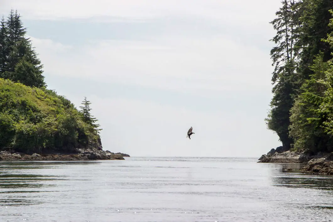
On a brief inland stretch after Nitinat, the trail was perched on a cliff, above the tidal shelf below. As we stopped at an open area to enjoy the view and snaps some photos, a humpback whale breached 100 yards offshore. It took two quick breaths and was gone from sight. Incredible.
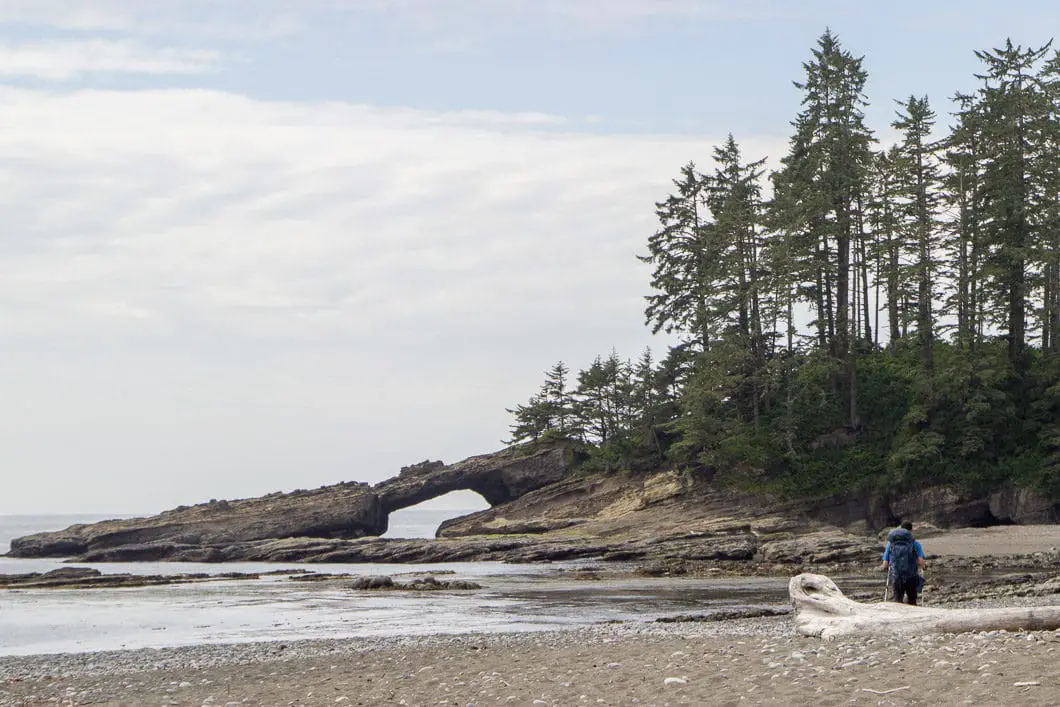
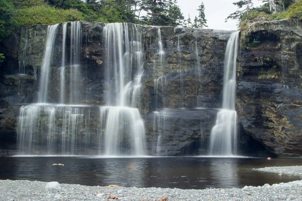
We walked through the ‘hole in the wall’ at Tsusiat Point and made the final trek to Tsusiat Falls – one of the iconic stops along the WCT.
I went for a dip in the waterfalls, which was the second coldest of the water I swam in along the trail. It was still worth it, as you can actually swim in behind the waterfall and sit on a small ledge. Watching the waterfall stream down in front of your face is an awesome way to spend some time after a long day hiking.
Tsusiat Falls was a busy campsite, but totally worth the stay.
Distance by the map for day 4: 19 km.
Hiking the WCT – Day 5
We left Tsusiat Falls and climbed up to the inland trail. The day’s hike started by crossing the bridge over upper Tsusiat Falls. The stream below us looked like an infinity pool over the Pacific Ocean.
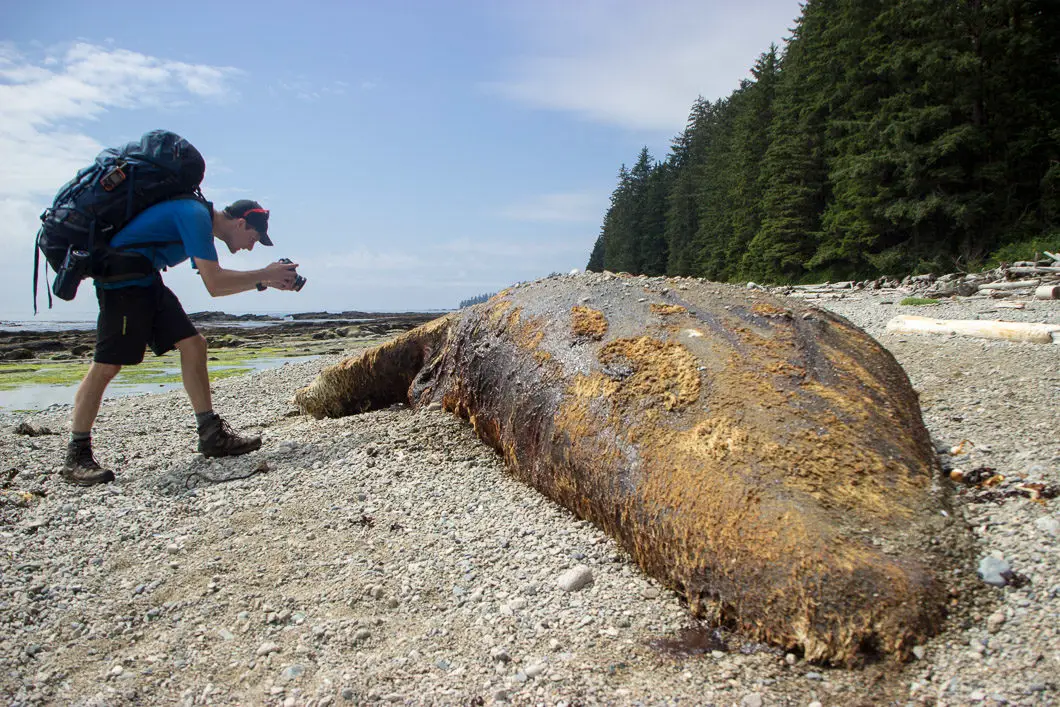
The day was largely uneventful but provided scenic hiking on the ocean shore. The ‘highlight’ of the day came in the form of coming across a decaying whale on the beach (not sure if it was a grey or humpback whale, in the state it was in).
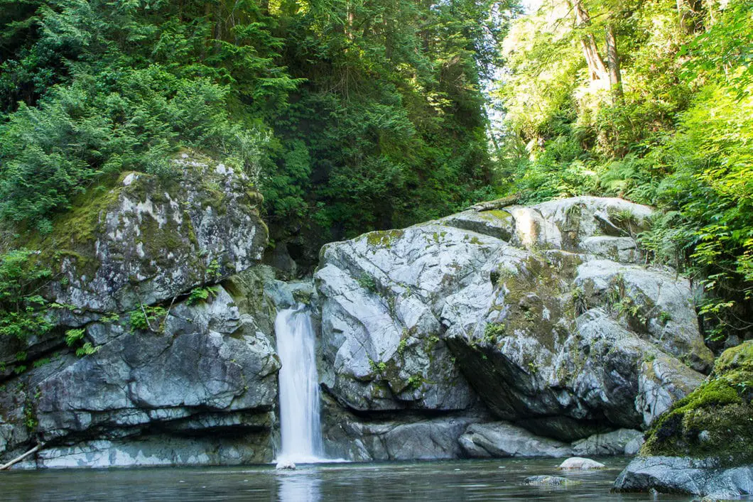
We ended our easy day at Darling River. A short hike up the mouth of the river led to waterfall within a beautiful canyon. The perfect spot for a bath, if not for the freezing water temperature. The swim was a quick one and this was by far the coldest water I encountered along the hike.
We set up camp on the beach, set up our hammock, and spent the afternoon soaking up the sun and reading books.
Distance by the map for day 5: 9 km.
Hiking the WCT – Day 6
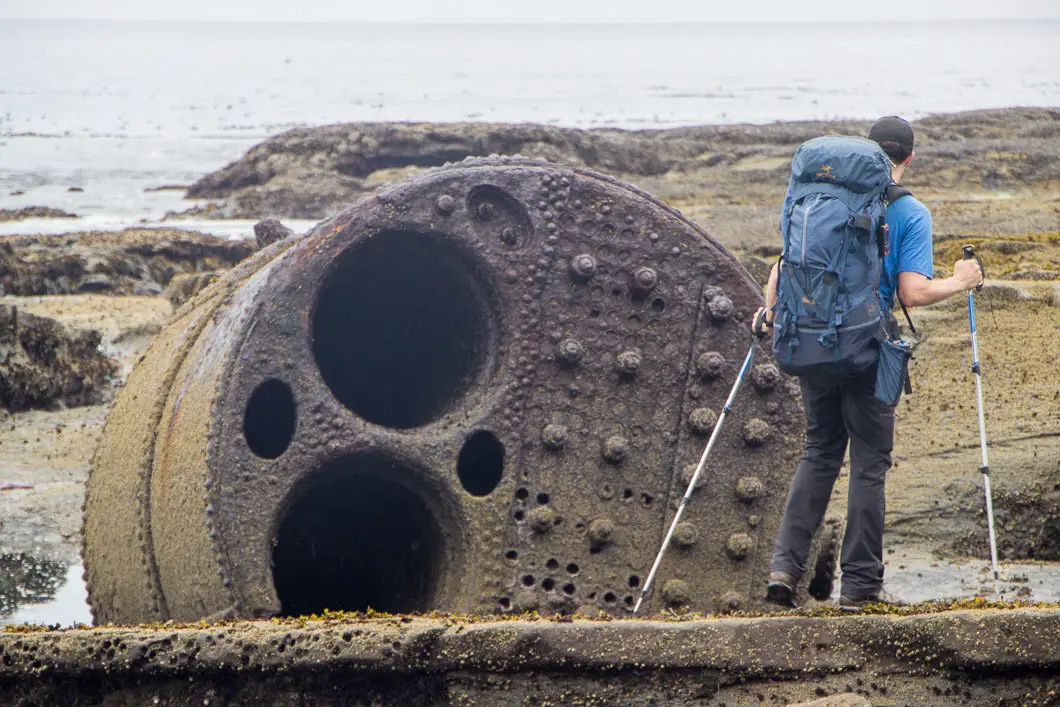
We left the Darling River campsite to hike the final leg of the WCT. We packed up with a sense of melancholy, knowing that by the same time the following day we’d be back in the real world. We passed by the boiler from the 1893 wreck of the vessel Michigan. It was raining lightly, and that was the only daytime rain we’d seen since day one.
We stopped in to visit the Pachena Point Lighthouse and then kept trucking along the trail. The final 10 km are very flat and fast compared to the rest of the trail. The kilometers went by quickly.
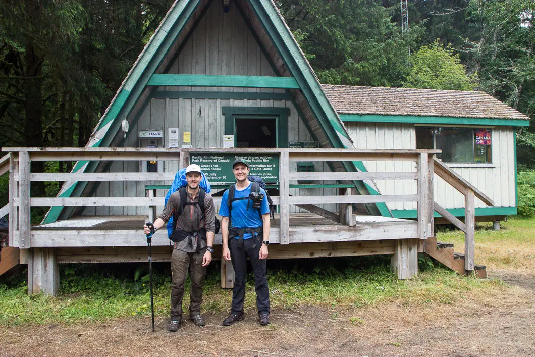
We walked off the trail around 1 pm and signed out. We got the car (thankfully with all windows still in place) and drove into Bamfield to get some snacks for the drive back home.
The whole trip was unforgettable, and I look forward to hiking the trail again one day. Although, after being spoiled by the perfect weather, another trip along the WCT has a high bar to beat.
Distance by the map for day 6: 14 km
Gear
Click to expand:
The Essentials
Clothing
- Gaiters
- Socks
- Base layers
- Underwear
- Hats
- Shorts
- Bandana/ Buff
- Warm sleepwear
- Hiking pants
- Rain shell
- Toque
- Insulating top layer
- Short sleeve shirt
- Long sleeve shirt
- Gloves
Camping Gear
- Backpack and rain cover
- Tent
- Sleeping pad
- Sleeping bag
Health and Hygiene
- Chapstick
- Biodegradable soap
- Synthetic travel towel
- Toothbrush and toothpaste
- Advil
- Toilet paper
- Hand sanitizer
- Blister kit
Extra Items
- Sandals / camp shoes
- Swim shorts
- Bug spray
- GPS Device
- Notebook and pencil
- Garbage bag
- Bear spray
- Clothing stuff sack
- Backup light source/ batteries
- Food stuff sack
- Camera
- Trekking poles
- Repair kit
- Cash
- Inflatable pillow or stuff sack
- Book
Download the PDF version of this guide for offline use
Resources
Helpful links
- West Coast Trail official website
- Online reservations
- Pacific Rim National Park
- West Coast Trail: 2020 Hiker Preparation Guide (PDF, 1.37 MB)
- West Coast Trail Map (PDF, 2.78 MB)
- Bamfield Tide Table
- Port Renfrew Tide Table
- Leave No Trace
- West Coast Trail Express (trail bus)
- Lady Rose Marine Services
- Pacific Seaplanes
- B.C. Ferries
- Washington State Ferries
Phone Numbers
Pachena Bay WCT Info Center: 250-728-3234
Gordon River WCT Info Center: 250-647-5434
Emergency Rescue: 250-726-3604
Bamfield Taxi: 250-918-8294
Books and Maps
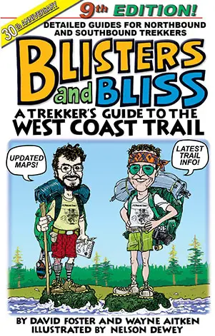
These books will help fill in some of the details missing in the guides, such as campsite information. I used Blisters and Bliss, and found it to be a terrific book. Well written, informative, and with humorous illustrations.
Download the PDF version of this guide for offline use
If you have any questions, or advice for future travellers, let’s hear it in the comments below!



Ricky
Had a fantastic time last week on this trail. Hiked North to South over 6 days. My favorite camp grounds in descending order: Tsusiat > Carmanah > Darling river > Camper > Trasher cove. Hiking through sand was tougher than I had initially thought it would be. By about halfway, we were often choosing to hike inland instead of on the beach. Bring enough cash for lunch at Nitinat. My lunch came out to be $55 with a drink but worth it. Chez Monique is now permanently closed.
Ernie Hurd
More photos that were no shows on my first post.
Ernie Hurd
On August 27, 2018 my oldest daughter and I left Mission, B.C. for our epic adventure hiking the West Coast Trail. We did the 33 km. from Nitinat Narrows to Pachena Bay. Our trip didn’t start out on a positive note as we missed the 6;30 ferry out of Horseshoe Bay. Our lost two hours meant we had to expedite our trip from Nanaimo to Pachena Bay to catch the shuttle to Nitinat Narrows. The 75 km logging road didn’t make it any easier. We made it with 15 minutes to spare. We arrived in the village but felt like we had just landed on Mars. We were left, by a process of elimination, to fend for ourselves. We eventually found the campsite. The next morning, August 28, our journey began. It was a beautiful day. I found out very quickly how much more difficult the hike was going to be with a 50 lb. pack on the back. This was one thing I had not properly prepared for. You can watch as many videos as you want and read everything there is to read but until you see your foot in front of you making an imprint on mother earth the rest doesn’t mean a thing. I wrote in my journal that 1 km on the trail was longer than 1 km on a cement sidewalk; so it seemed. The beautiful weather the first day allowed us to marvel from the ocean vistas the majestic shorelines and sandy beaches. Our first day we hiked 8 km.. The second day we hiked 13 km. in the light drizzle from the ocean mist and the third day we hiked 12 km. under clearing skies. We missed the beach walk into Pachena Bay because of the tides and were forced to climb up and down the infamous ladders. I’ll be honest. The ladders were difficult both physically and mentally. This trip was a fantastic experience for me and I would definitely do it again if I am physically capable of it. I turn 66 this year.
Anthony Maw
To fully appreciate it you have to do the WCT twice going both ways! The views and experience are very different as well as the tide conditions and weather. Don’t forget to bring cash to enjoy the beer, burgers and hot cooked breakfast at Chez Moniques at Pacheena Point and salmon BBQ at Nitinat ferry.! Make sure you bring swim shorts (bikini?) to swim and bathe at Tsusiat falls and wash off the sweat – or else go in skinny. Note that you can now do a half-trail by starting at Nihitnat. Also if you really get tired of the hiking you can a boat ride out back to Port Renfrew on the Chez Moniques restaurant supply boat – for a fee of course..
Karl W
Yep, if/when I go back I plan to try it from the other direction! Thanks for the tips, I agree with all of them. And I didn’t realize you can pay to leave with the Chez Monique’s supply boat. It’s so sad Monique passed away this year – it’s such a highlight of the trip.