Whistler Train Wreck – Table of Contents
- Hike Introduction
- Hike Statistics
- Map and Elevation
- Hiking Route Description
- Directions and Parking
- Free PDF Download
Whistler Train Wreck Hike Intro
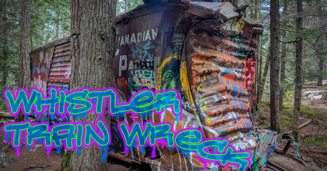
The Whistler Train Wreck is a popular, low elevation hike in Whistler. The short trail takes you to the site of a historic train wreck that happened in 1956.
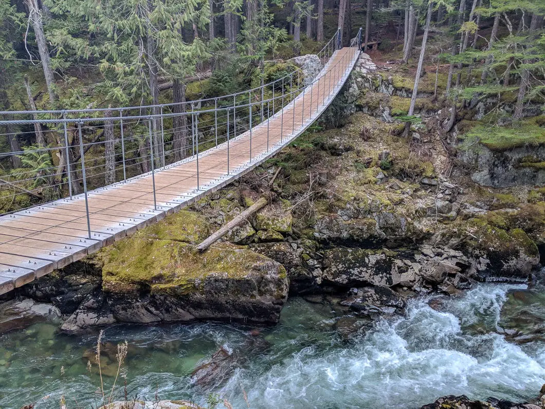
In 2016, a suspension bridge was built over the Cheakamus River, making this an easy hike. Before that, the train wreck was a lot harder to access (requiring illegally crossing train tracks). The area has gained a lot of popularity since the bridge was put in. And for good reason.
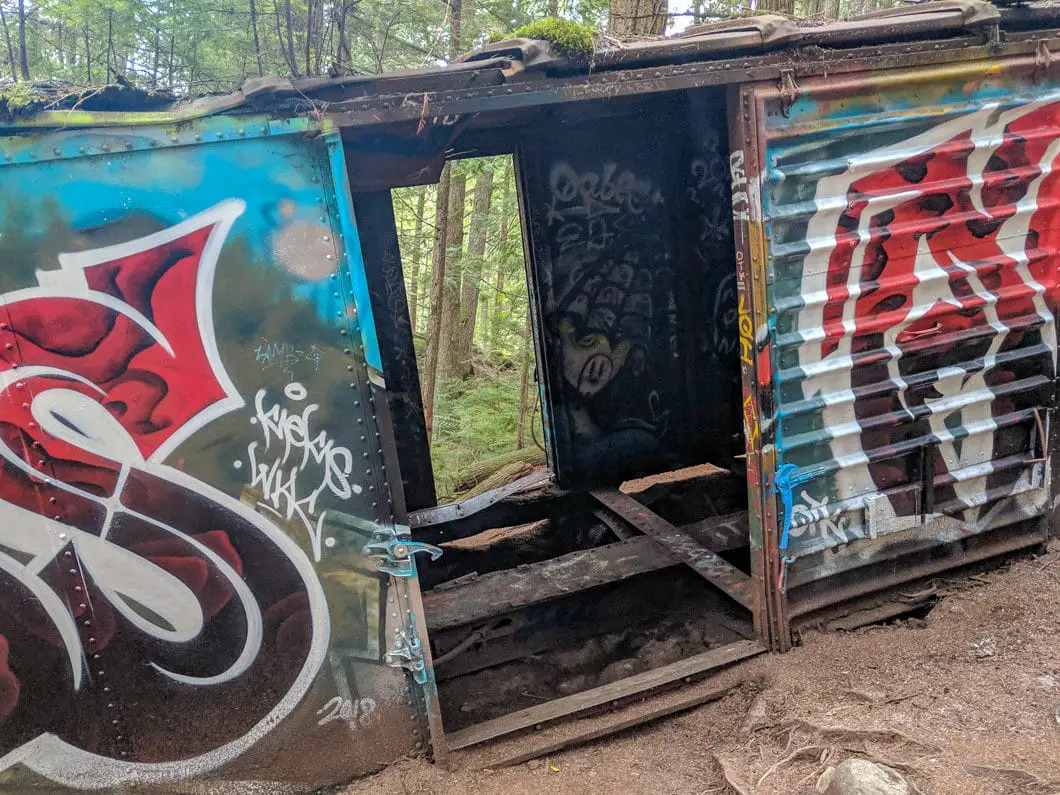
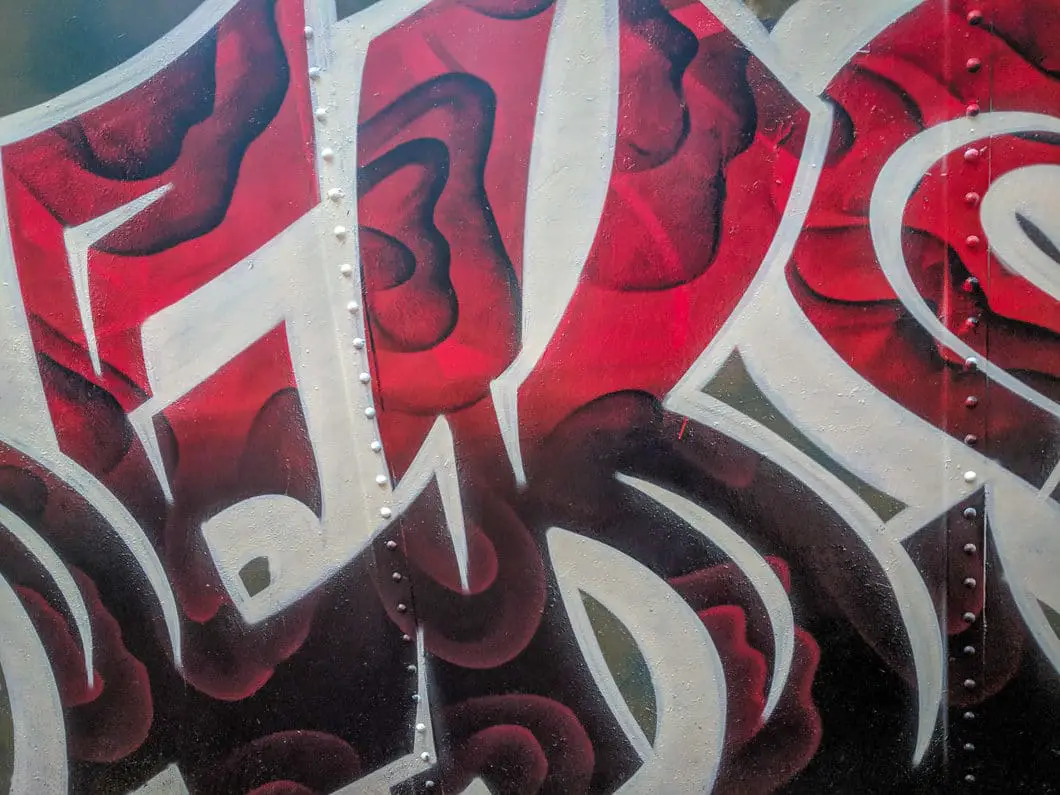
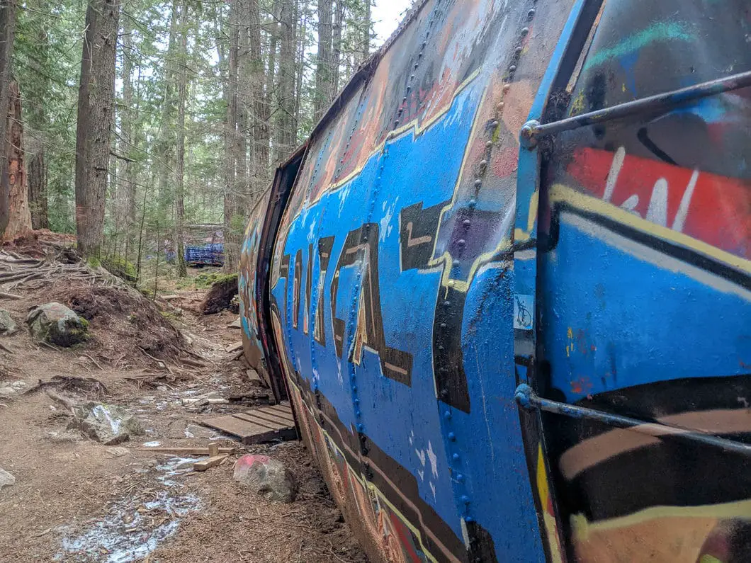
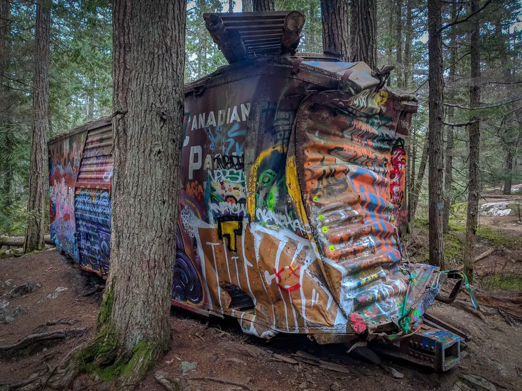
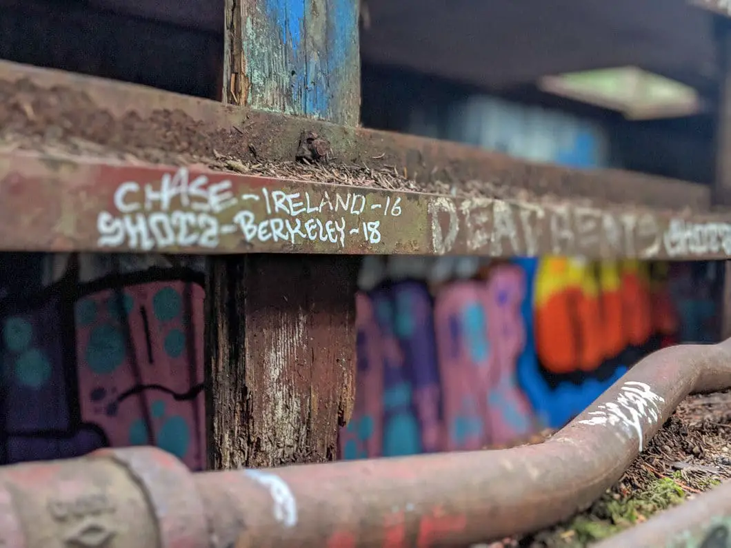
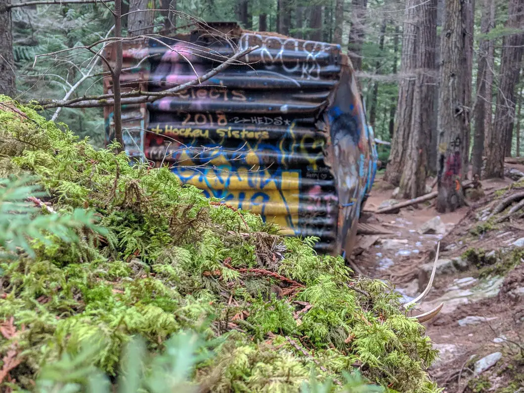
The boxcars have been here since the accident occurred, and have since been brightly covered in graffiti. They make a unique sight, contrasting with the natural environment, making them an art gallery of sorts. The area is popular for hikers, photographers, graffiti artists, and mountain bikers.
The Whistler Train Wreck is an easy and fun hike for the whole family.
Whistler Train Wreck Hike Stats
Rating: Easy
Distance: 2 km
Net Elevation Change*: 30 m
Highest Point: 650 m
Time Needed: 1 Hour
Type: Out-and-back
Season: May – November
Dogs Allowed: Yes
Est. Driving Time from Vancouver: 2 Hours
Trailhead Coordinates: 50.080877, -123.045184
*For a better understanding of the stats and difficulty rating, check out the Hiking Guides page for details. Always carry The Essentials and fill out a trip plan.
Whistler Train Wreck Hike Map and Elevation
Train-wreck
Profile
Train-wreck
Profile
Description
Whistler Train Wreck Hiking Route
From the parking area (directions), cross the street and walk towards the trailhead. The trailhead is located by the Cheakamus River Forest Service Road and is marked with a sign. The sign is labeled for the Sea to Sky Trail. Distances are listed for Brandywine Falls (12.3 km) and Squamish (55 km). It is also labeled for the ‘Train Wreck Site and Suspension Bridge’.
The trail starts out as a flat, doubletrack path. The path is well-groomed gravel and there are no exposed roots or large rocks.
The trail twists and turns but remains easy to navigate. Within a couple hundred meters, the trail starts to decline, and the Cheakamus River appears through the trees on your right. Here, the Sea to Sky trail will veer left.
After about 600 m into the hike, you will come to a junction. Go right here, along the Train Wreck Express Trail. It’s clearly marked for the ‘Train Wreck Site’.
The trail will climb a bit and then fall, and come to another junction marked for the Trash Trail (a black diamond mountain bike run). Stay straight on the Train Wreck Express. The trail does a quick hairpin turn and you’ll come down to the suspension bridge – about 800 meters into the hike. There is an interpretive sign here.
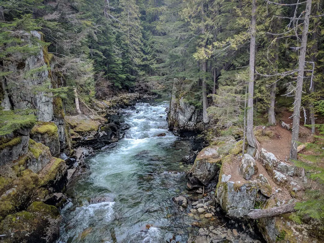
Crossing the bridge gives you a nice vantage point over the Cheakamus River. On the other side of the bridge, you’ll immediately come to the boxcars. There is another interpretive sign here.
Take your time and explore the unique scene in front of you. There are 7 boxcars in total. 5 are easy to find from where you come over the suspension bridge. There are two box cars hidden just a bit further downstream. You’ll notice mountain bike jumps sprinkled throughout the area, including on top of box cars.
When you’re ready, return to your car by retracing your steps. Or you can extend your hike by meandering along the Sea to Sky Trail or any of the marked mountain bike trails in the area. Taking the Trash Trail back is a nice way to complete the hike in a loop, although that route is more difficult.
Cool fact: “The wreck occurred on August 11, 1956. The train started in Lillooet… bound for Vancouver. When the train got to Whistler it was behind schedule, so the crew tried to make up time by going faster. With the train going more than twice the speed limit…one of the engines jumped off the track. Twelve boxcars derailed, and some were wedged into the narrow passage, blocking the track for days.
Five of the derailed boxcars were salvageable, but those remaining seven were too damaged to save. Those seven boxcars… were dragged out of the way here, which was the quickest way to get the trains back on schedule.” [Source: Interpretive signs from the Resort Municipality of Whistler]
Download the PDF version of this guide for offline use
Directions and Parking
From Vancouver, head north on the Sea to Sky Highway towards Whistler.
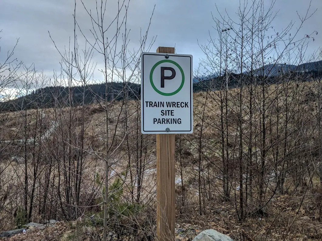
As you approach Whistler, take a right at Function Junction, onto Cheakamus Lake Road. Veer right onto Legacy Way, and take the bridge over the Cheakamus River. Take the next right on Jane Lakes Road. You’ll pass the Cheakamus River Forest Service Road on your right, and just beyond it on your left is a hill with a parking area. There are parking signs here for the Train Wreck Site.
Google Map directions are here.
Help Us Create New Hiking Guides!
Advertising revenue is falling quickly across the internet, and independently-run sites like Outdoor Vancouver are hit hardest by it. We are committed to keeping Outdoor Vancouver free and independent, but we need to find other ways to continue operating this site.
If you like our hiking guides and would like to help, please consider making a contribution with the PayPal or Patreon links below – any amount helps! There is also a list of other ways you can support Outdoor Vancouver here!
Becoming a Patron through Patreon unlocks membership benefits and rewards. Learn More.
A one-time donation through PayPal helps with monthly website hosting costs.
Other great hikes in this area
- Brandywine Falls (easy)
- Nairn Fallsk (easy)
- Garibaldi Lake (moderate)
- View all hiking guides here



Vancity Adventure
What happens when you stop dreaming about the life you could be living and actually go for it? I am Daryl, a travel & adventure filmmaker. I’m one-third of the Treo behind vancity adventure, a youtube channel, exploring the world with my son Cayden and Tosha the Pug (sometimes my wife). We are from Vancouver Canada and we started this adventure to clear our minds and find our souls.
We have done this hike twice, Once from the road and this way can be a little confussing. The last trip was from the parking lot and was a easy hike and easy to find. https://youtu.be/U8Pw_gvgHz0
Adventure is right around the corner! Let’s get outside, explore and make new friends. We cannot wait to go on this #vancityadventure with you!
Daryl, Cayden and Tosha the Pug
http://www.vancityadventure.ca