Whitecroft Falls – Table of Contents
- Hike Introduction
- Hike Statistics
- Whitecroft Falls Video
- Map and Elevation
- Hiking Route Description
- Directions and Parking
- Free PDF Download
Whitecroft Falls Hike Intro
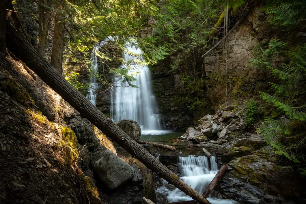
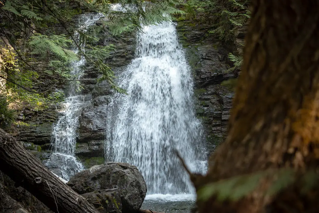
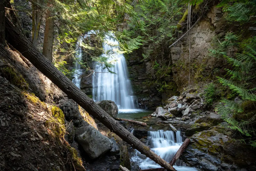
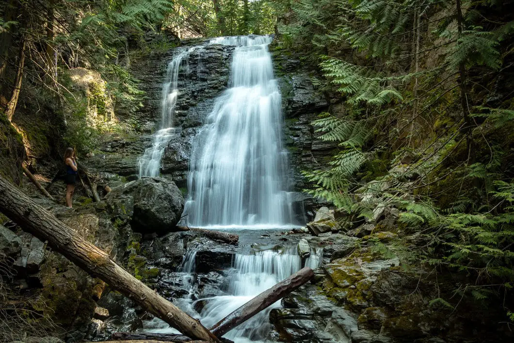
Whitecroft Falls (also known as the McGillivray Creek Waterfall) is a scenic waterfall on the road into Sun Peaks Resort. The waterfall is accessed by a short hike on a relatively easy trail.
The short distance makes it a great place to stop and stretch the legs during a long drive into Sun Peaks.
The entire hike can be done in about 30 minutes. The waterfall is impressive, and is well-worth the effort to find.
The parking area is just past Whitecroft, on the side of Sun Peaks Road just about 15 minutes before Sun Peaks itself (or about 40 minutes from Kamloops).
The best time to go is in the spring or early summer. By the late summer, Whitecroft Falls might not be anything more than a trickle.
It can also be accessed during the winter, with proper winter hiking precautions being taken. In the winter, Whitecroft Falls is usually more of an ice-wall than a waterfall.
Whitecroft Falls Hike Stats
Rating: Easy
Distance: 1.4km
Net Elevation Change*: 63 m
Highest Point: 855 m
Time Needed: 30 Minutes
Type: Out-and-back
Season: April to November
Dogs Allowed: Yes
Est. Driving Time from Kamloops: 45 Minutes
Trailhead Coordinates: 50.861347, -119.966081
*For a better understanding of the stats and difficulty rating, check out the Hiking Guides page for details. Always carry The Essentials and fill out a trip plan.
Whitecroft Falls Video
Here is a short video of our experience on this hike!
Hike Map and Elevation
Whitecroft Falls
Profile
Trailhead
Description
Whitecroft Falls Hiking Route
From the side of the road, you will find the small trail. Walk up the trail for about 2 minutes until it connects to a small service road.
At the junction with the service road, go right. You’ll begin to hear the McGillivray Creek running on your right.
Keep walking up the path, which climbs on a gentle incline. The path climbs for a few minutes, then changes into a singletrack trail. Here, the trail becomes rooty and rocky, but nothing too difficult.
The trail follows the creek all the way up to the waterfall.
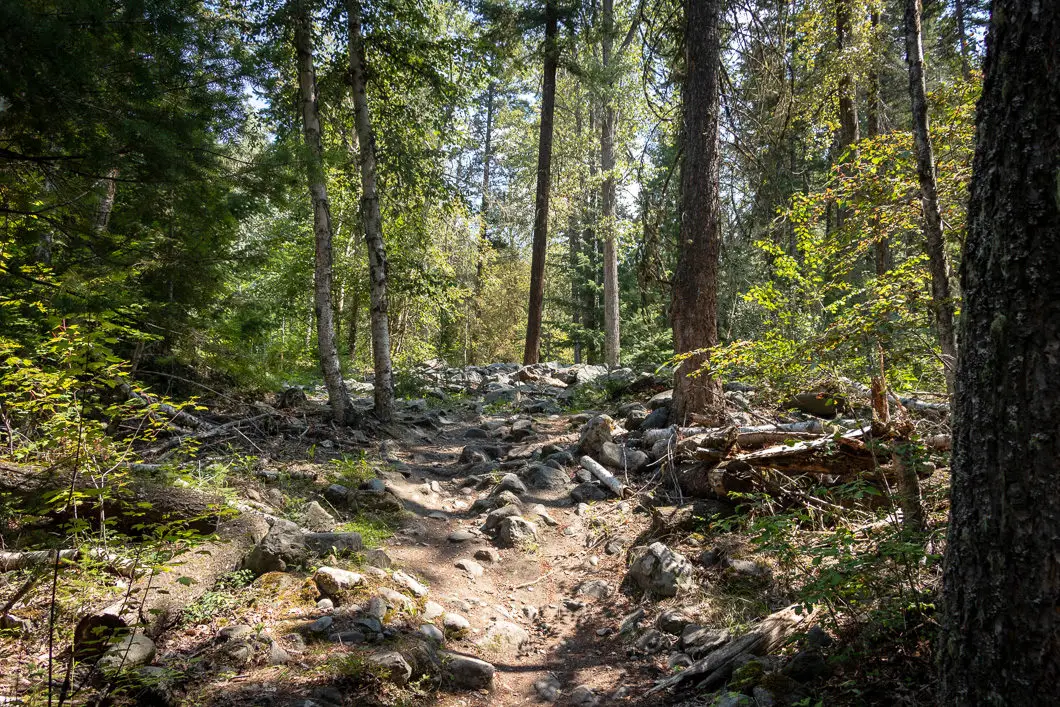
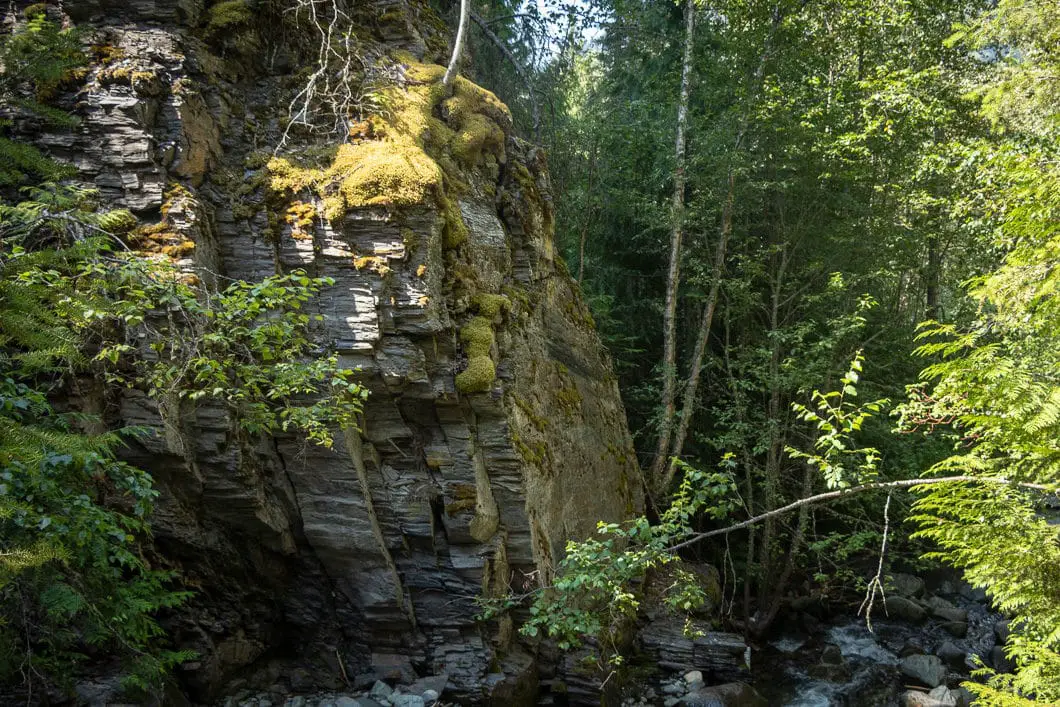
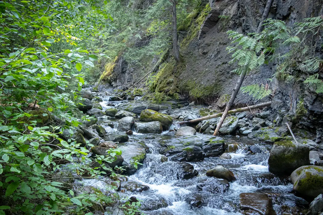
Keep following the trail and you’ll be at Whitecroft Falls within 15 minutes from leaving your car.
The waterfall lies in a scenic area, and there is a nice little bench where you can rest and enjoy the view.
The creek and waterfall are fed by McGillivray Lake, just a few kilometers east towards Sun Peaks.
When ready, return to your car on the same route you came in.
Download the PDF version of this guide for offline use
Directions and Parking
From Kamloops, head north on the Southern Yellowhead Highway (#5) towards Clearwater. Exit right on Old Highway 5, towards Sun Peaks Resort. Take the first left onto Tod Mountain Road. Tod Mountain Road turns into Heffley Louis Creek Road.
Follow Heffley Creek Road to the town of Whitecroft. As you drive through the town, you will pass over a cattle guard and approach a sharp left turn. There may be a sign here for McSporties. Pull over on the side of the road here and park.
Google Map directions are here
Similar Hikes
- Bridal Veil Falls (Chilliwack)
- Nairns Falls (Pemberton)
- Brandywine Falls (Whistler)
- View all hiking guides here


Alan
No waterfalls there. Was told by a local you can only see them right after the snow melts. The creek is just too low at the moment.
Sad! i drove 45 minutes up there for nothing.
DO NOT RECOMMEND