Whyte Lake – Table of Contents
- Hike Introduction
- Hike Statistics
- Whyte Lake Video
- Map and Elevation
- Hiking Route Description
- Directions and Parking
- Free PDF Download
Whyte Lake Hike Intro
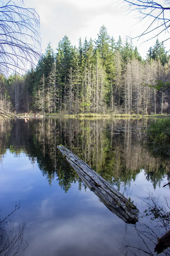
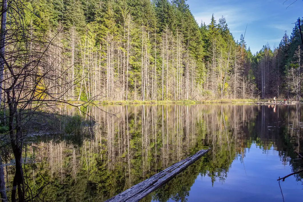
Whyte Lake in West Vancouver is a popular and easy hike. The short trail travels up through the beautiful Nelson Canyon and ends at a small lake.
Whyte Lake has a quaint dock and is a nice spot for swimming in the summer. The trail to the lake follows Nelson and Whyte Creeks. The forest is serene, full of towering trees.
It’s a great hike year-round. As there is no viewpoint, yet the forest is scenic, it’s a great hike for cloudy or rainy days. And as the forest is so well-shaded, Nelson Canyon can also be a great spot to escape the blistering heat of a summer day.
Whyte Lake is a terrific option for a family outing.
Whyte Lake Hike Stats
Rating: Easy
Distance: 5.3 km
Net Elevation Change*: 178 m
Highest Point: 295 m
Time Needed: 2 Hours
Type: Out-and-back
Season: Year-round
Dogs Allowed: Yes, on leash
Est. Driving Time from Vancouver: 30 Minutes
Trailhead Coordinates: 49.360749, -123.258767
*For a better understanding of the stats and difficulty rating, check out the Hiking Guides page for details. Always carry The Essentials and fill out a trip plan.
Whyte Lake Video
Here is a short video of our experience on this hike!
Whyte Lake Hike Map and Elevation
Whyte-lake-trail
Profile
Whyte Lake Hiking Route
From the gravel parking lot, walk past the yellow gate and information kiosk. You’ll be on a wide, gravel road. Follow it around the corner and you will walk underneath the highway.
You’ll come to a junction by a water tower. There is a trail sign here which says TCT (Trans Canada Trail) West to Seaview Walk, marked to the left. Don’t go that way. Instead, go straight, up the gravel road which heads uphill. Though it is an uphill hike to Whyte Lake, this stretch of road is the steepest part of the entire hike.
At the top of the hill, you’ll see another trail sign. It marks the way for the Whyte Lake Trail and Trans Canada Trail.
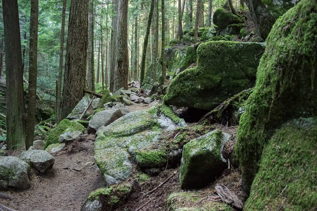
The trail now begins and gently climbs into the forest of Nelson Canyon. The forest here is full of Western red cedar and Douglas fir trees. It’s a peaceful and scenic trail. As you walk along the trail, you’ll pass a few interpretive signs placed by the City of West Vancouver.
The trail is rooty and rocky, but well-defined and easy to follow.
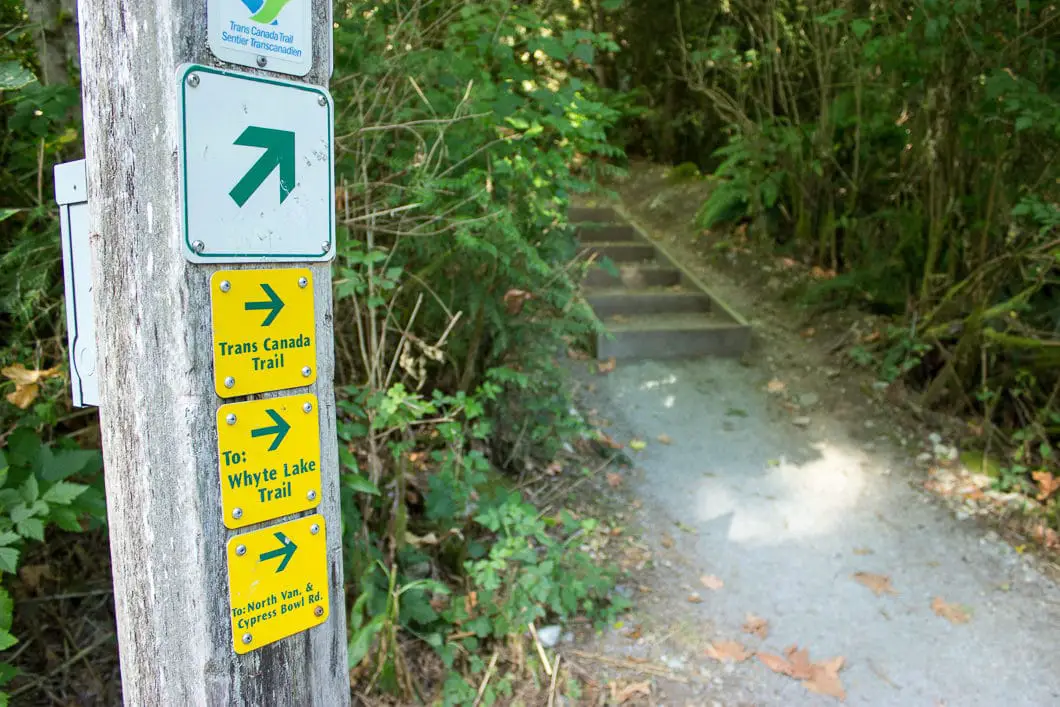
As you climb further up the trail, you’ll hear water in Nelson Creek to your left. About 1 km (15 minutes) into the hike, you’ll come to a junction on the trail. A sign directs you to the left to stay on the Whyte Lake Trail/ Baden Powell Trail. Straight takes you on the TCT toward North Vancouver. Go left here.
You’ll begin to see bright orange triangular markers in the trees along the trail bearing the iconic Baden-Powell Trail logo.
The trail can be muddy in the spring, and you will pass over some footbridges and a few small streams. In the summer, the trail will be dry.
You’ll pass by a park bench and walk up a set of wooden stairs. About 20 minutes in, you’ll take a wooden bridge over Nelson Creek.
Around 1.8 km, you will cross over another wooden bridge. The trail now becomes flatter than it was early on. Keep following the orange BP markers. The trail now follows along Whyte Creek the rest of the way to the lake.
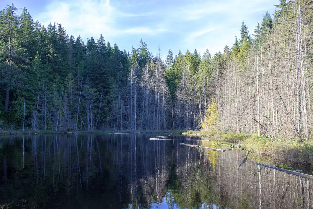
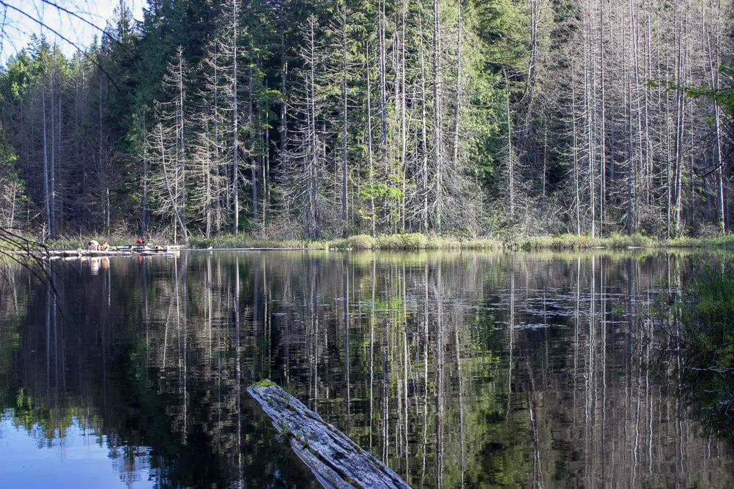
Around 2 km, you will come to Whyte Lake. You can follow the side trail down to the dock on the lake. As of 2018, the dock was in rough shape, but you are able to head out onto it for a clear view of the lake, and a possible swim. The lake is small, calm, and quiet.
Cool fact: “Whyte Creek and Whyte Lake were named for Colonel Albert Whyte, an owner of the West Shore and Northern Land Company in the early 1900s. The company bought and developed land in the Horseshoe Bay and Whyte Cliff City area, the latter being renamed Whytecliff through the urging of Albert Whyte in 1914” [source]
From the dock, the trail carries around to the other side of the lake if you wish to explore a bit further. Head back onto the trail and you will see signs here to Horseshoe Bay to Westport Road.
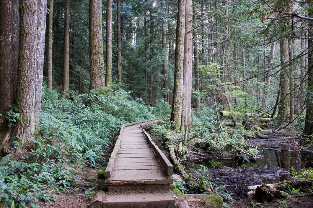
You will walk on a boardwalk over a marshy area. At the end of the lake, there is an outhouse up on the hill (often described as the nicest outhouse in the world). There is a junction here, and you will go right, staying close to Whyte Lake. It is marked for the ‘Whyte Lake Viewpoint’. Going straight would take you further along the Baden-Powell, and eventually up to Eagle Bluffs (difficult hike).
As you walk around the lake, there are several trails that split off in the area, so make sure you are always staying on the trail that is closest to the lake. Follow the trail around the back side and you will find another open view of the lake.
After you’ve had your fill of the lake, retrace your steps back to the Nelson Canyon parking lot.
Download the PDF version of this guide for offline use
Directions and Parking
Take the Upper Levels Highway to Exit #4 (Westport Road). Turn left onto Westport Road. Follow Westport Road straight through the four-way stop. The road will curve and pass underneath an overpass. Immediately on the other side of the overpass, there is a turnout which takes you up to into the parking lot.
This small gravel parking lot can fill up on busy summer weekends.
Google Map directions are here.
Other great hikes in this area
- Lighthouse Park (easy)
- Cypress Falls (easy)
- Eagle Bluffs/ Black Mtn (difficult)
- View all hiking guides here
Download the PDF version of this guide for offline use
