Whytecliff Park – Table of Contents
- Hike Introduction
- Hike Statistics
- Whytecliff Park Video
- Map and Elevation
- Hiking Route Description
- Directions and Parking
- Free PDF Download
Whytecliff Park Hike Intro
Whytecliff Park is a beautiful oceanside spot in West Vancouver. It is a popular place for a relaxing walk and also for scuba diving.
There are some short trails within the trees of Whytecliff Park and a few rugged paths along the cliffs above the water. However, a walk around Whytecliff Park doesn’t feel as if it qualifies as a ‘hike’.
That said, Whytecliff is a terrific place to spend some time near the water, catch a sunset, and enjoy the unbeatable coastal scenery. It is also a great place for family outings.
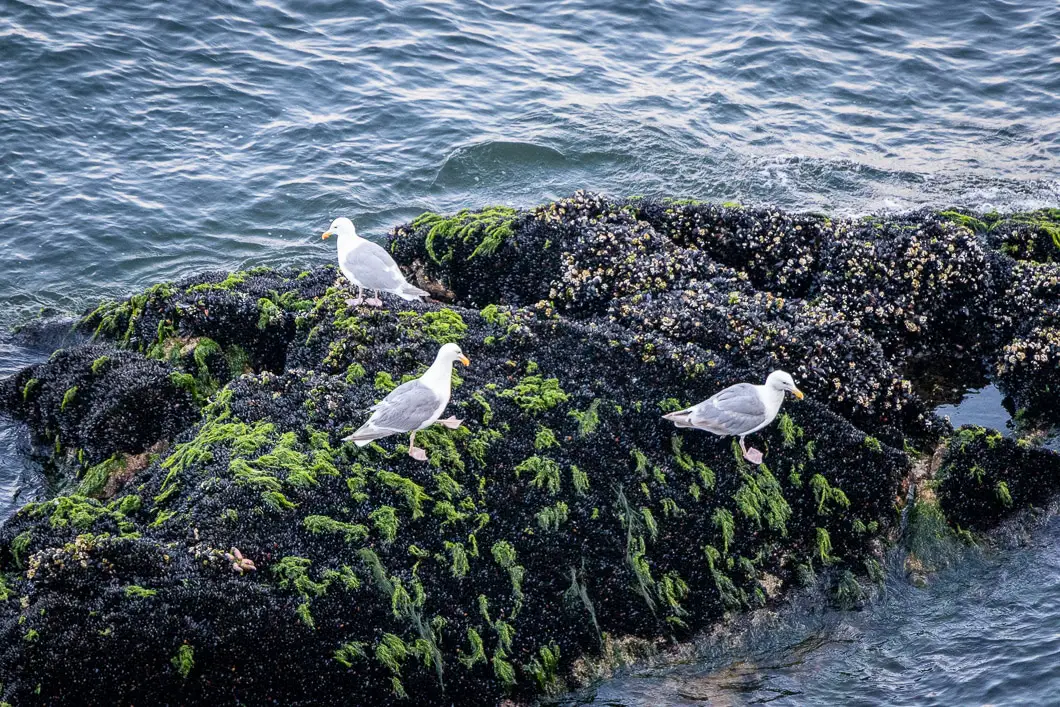
There is a lot of wildlife in the park, and harbor seals can often be seen in the water. Orcas have even visited this spot on very rare occasions.
If you’re looking to get on the ocean and recharge your batteries with a nice walk in nature, Whytecliff Park is the perfect place to go.
If possible, it’s best to time your visit during low tide so you can explore more of the shoreline.
If you’re looking for a longer hike, nearby Lighthouse Park has longer trails and is also beautiful.
Whytecliff Park Hike Stats
Rating: Easy
Distance: 1 km
Net Elevation Change*: 0 m
Highest Point: 30 m
Time Needed: 1 Hour
Type: Loop
Season: Year-round
Dogs Allowed: Yes, on leash
Est. Driving Time from Vancouver: 30 Minutes
Trailhead Coordinates: 49.372854, -123.290933
*For a better understanding of the stats and difficulty rating, check out the Hiking Guides page for details. Always carry The Essentials and fill out a trip plan.
Whytecliff Park Video
Here is a 3-minute video of our experience on this hike!
Whytecliff Park Hike Map and Elevation
Whytecliff Park
Profile
Whytecliff Park Hiking Route
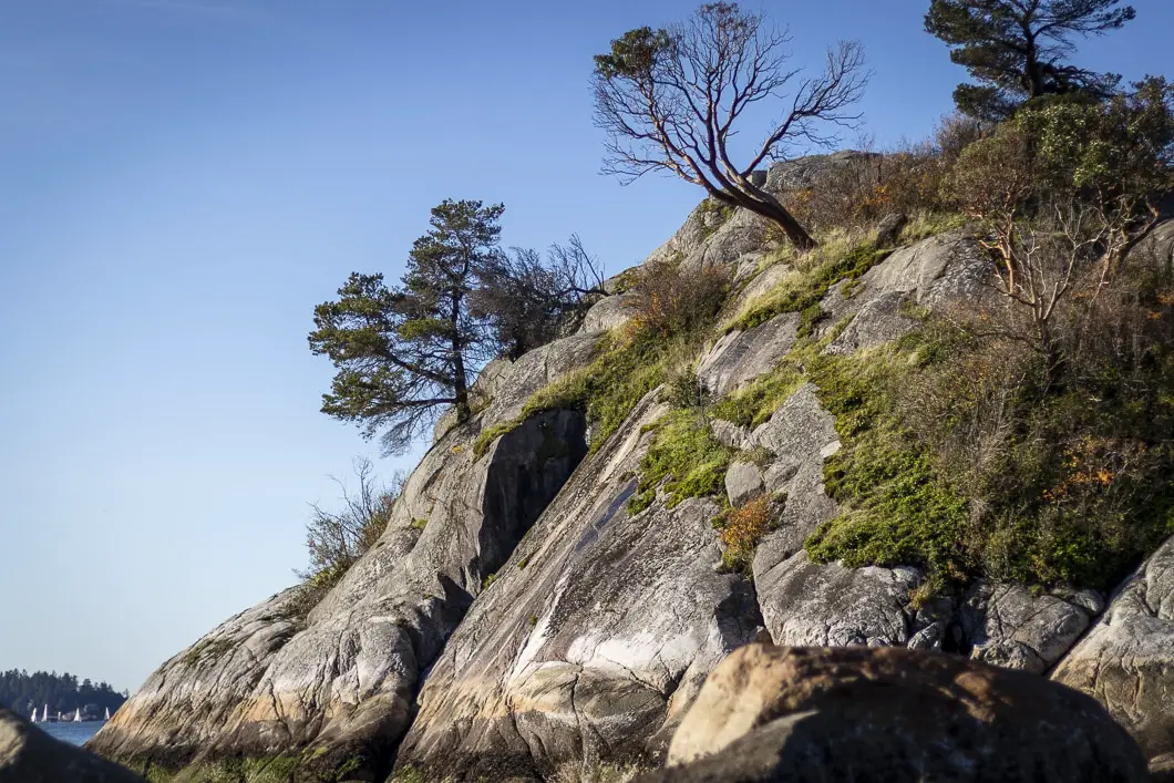
There are some short walking trails within the trees above the grassy area and playground at Whytecliff Park. This guide does not cover those trails but will take us along the shoreline paths to the beach and to onto Whyte Islet (tide dependent). The cliffs and beach area of Whytecliff Park are where the best views are.
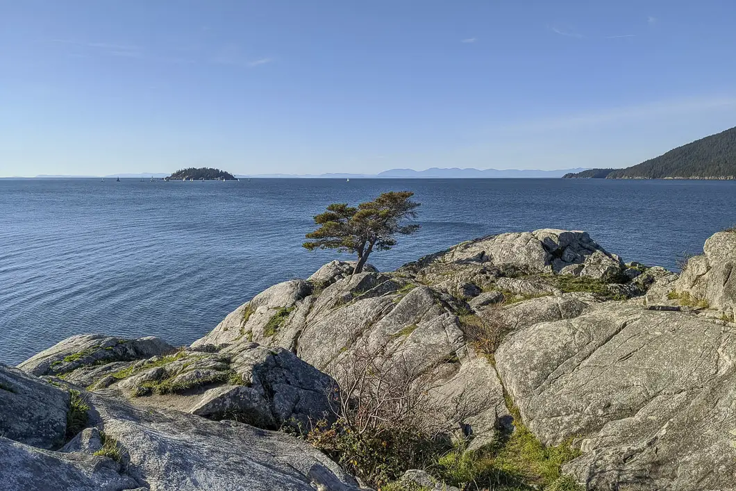
From the parking lot, walk up past the bathrooms to the end of the pavement. You’ll pass by a grassy area on your left with a picnic table. At the end of the pavement, you will see a gravel path that leads to an elevated lookout area, where you can see Howe Sound and Bowen Island. There are park benches here where you can sit down and enjoy the view of the ocean and watch the B.C. Ferries coming and leaving Horseshoe Bay.
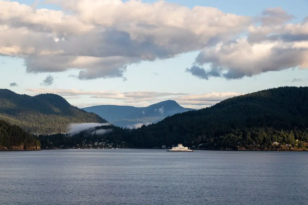
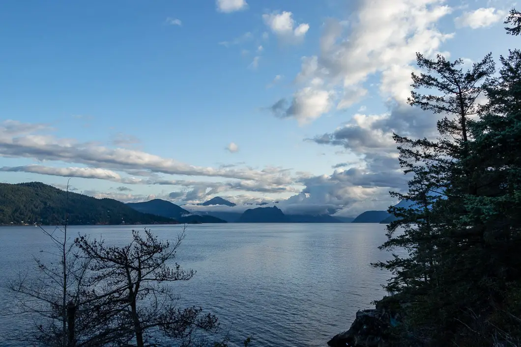
The cliff here has a steep drop-off into the water and is fenced off.
From here, head south along the narrow and rocky trail. You will pass by a few more picnic benches as you make your way down before reaching a few concrete steps.
There are multiple paths and viewpoints, so take your time scrambling along the rocks. It only takes a moment to get more beautiful views further south, into the Strait of Georgia.Enjoy the views while being mindful not to get too close to the edges of the rocky cliff.
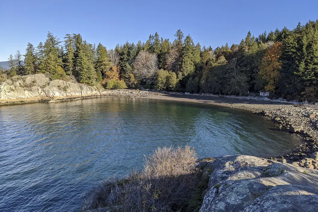
As the trail loops back eastward, you will come to a set of wooden stairs. You can follow them down for a quick detour into a small cove. At low tide, you can walk into the cove and enjoy the unique perspective from the tiny beach.
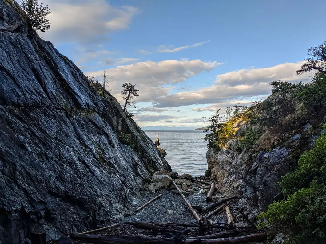
Climb out of the cove and back onto the trail, carrying east towards the main beach.
In a minute, you will come to a large, open overlook of the beach and Whyte Islet.
Enjoy the view from this high point, and when ready find the stone steps down to the beach. Be careful in wet weather, as the rocks will be slippery.
Once you’re down on the beach, there is an access point back up to the parking lot. Carry along the beach to the far side. Here, you will see a bathroom with the scuba diving flag painted on it, and another access point up to the parking lot.
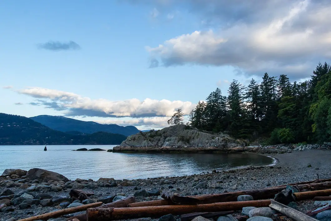
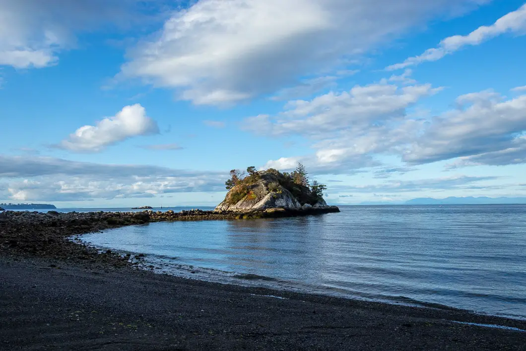
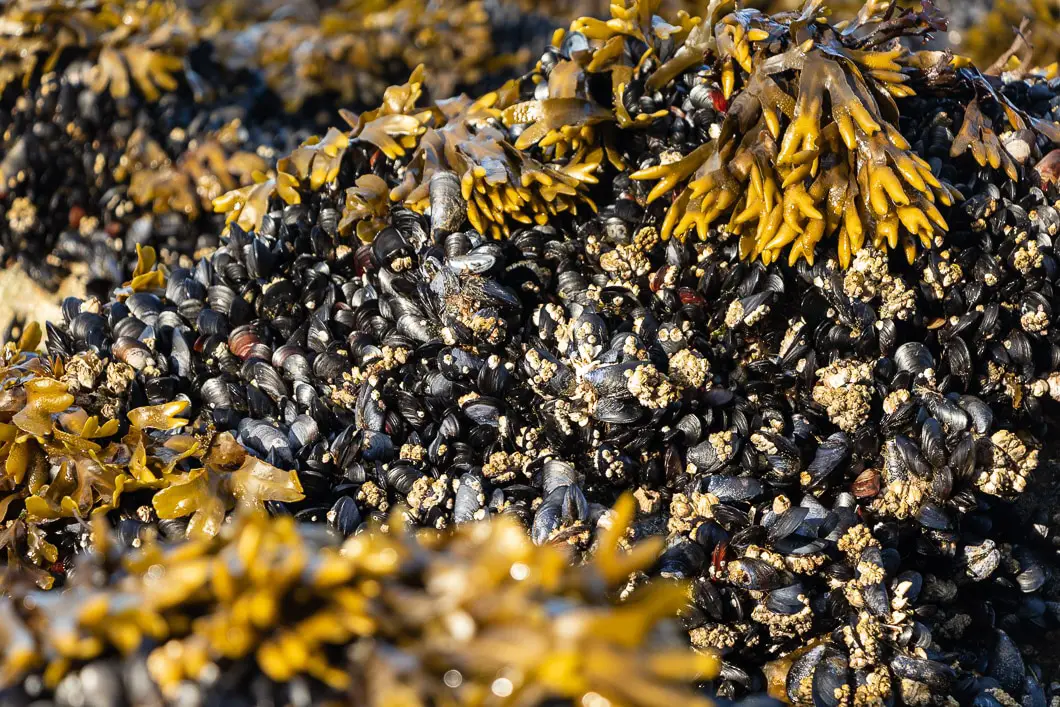
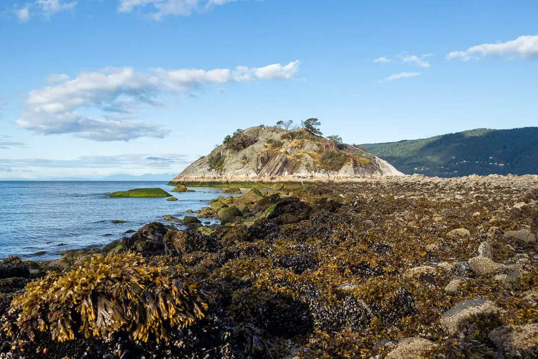
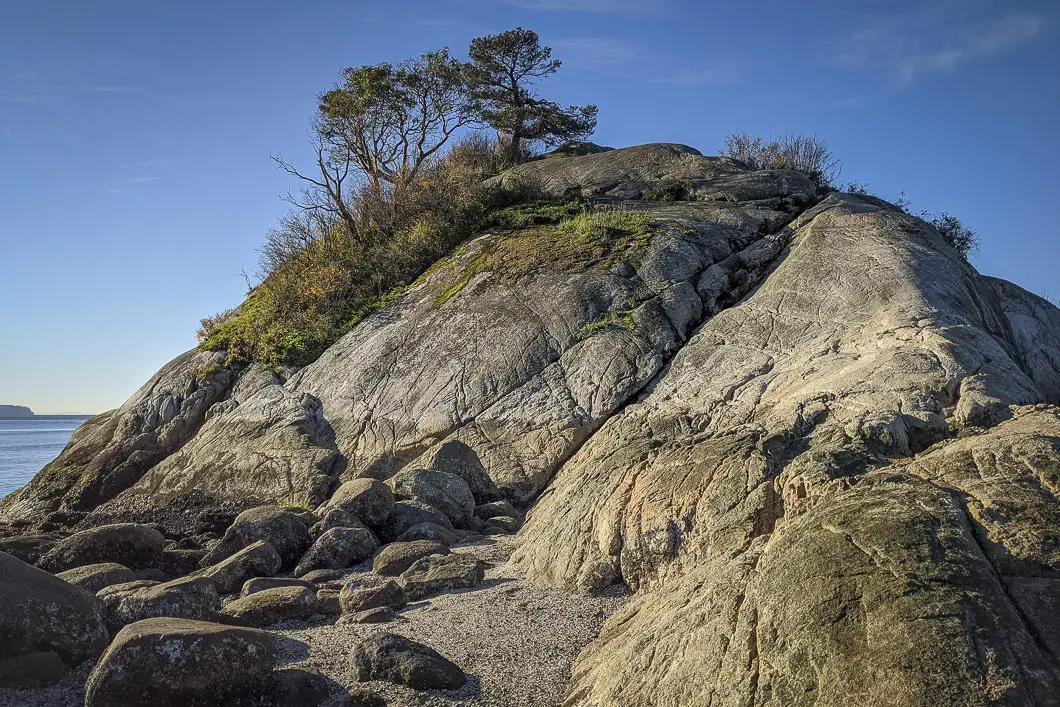
You can carry along a little further to get a head-on view of Whyte Islet, which makes a great vantage point for a photo, especially at high tide.
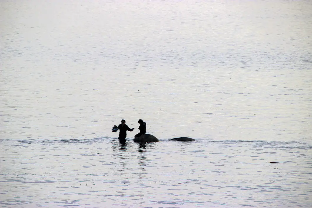
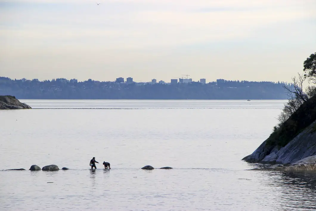
If the tide is low, you can follow the exposed rocky path over and onto Whyte Islet itself. Don’t be deceived, the tide rises quickly and will completely cover these rocks at high tide. If you decide to climb onto Whyte Islet, make sure you’re aware of the high tide time. It would not be fun to get stuck out there. Just ask these people:
Cool fact: In 1993, the waters around Whytecliff Park became Canada’s first Salt Water Marine Park Protected Area, ensuring a great marine environment for Vancouver’s scuba divers. Divers can see a variety of marine life including, harbour seals, sea pens, lingcod, nudibranchs, sea cucumbers, and occasionally octopus. There are reportedly over 200 marine species in the park!
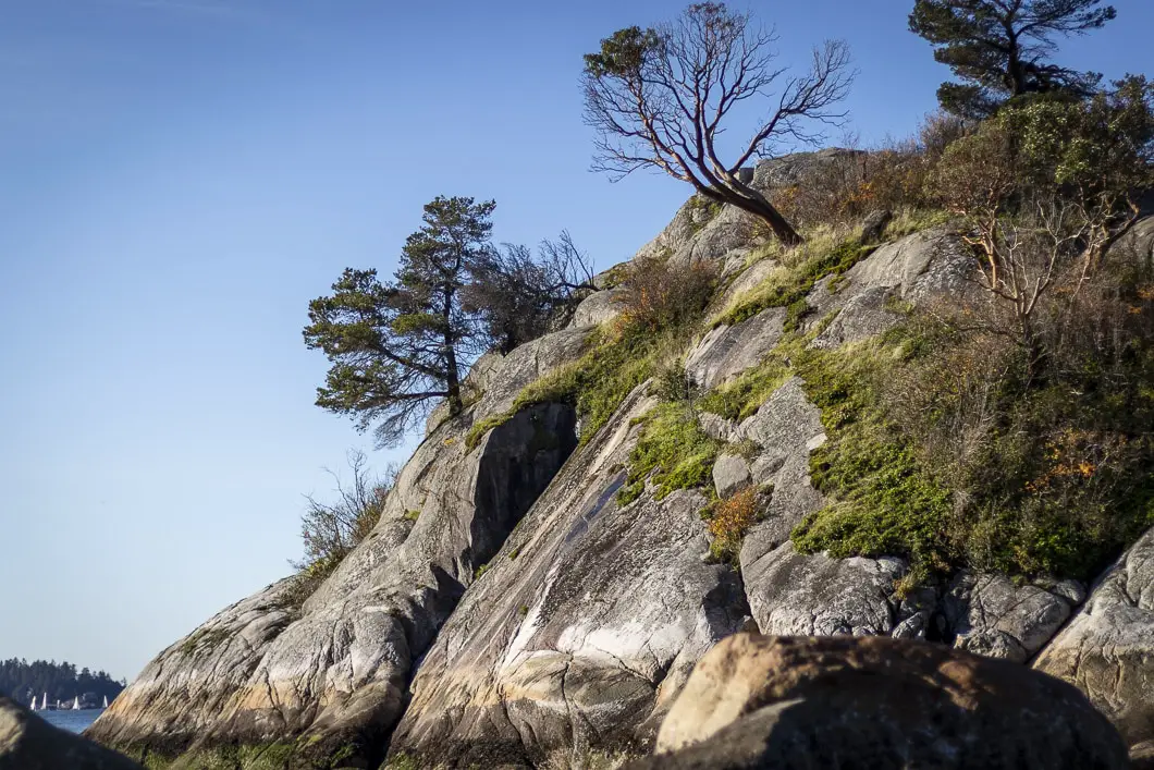
The climb onto Whyte Islet is steep initially. It can be difficult if the rocks are wet, so be cautious. Once you’re up on top, you have another great view of the beach. You also have a nice view of the incredible houses perched above the water in Gleneagles.
You can walk to the southern end of Whyte Islet and enjoy the spectacular scenery before heading back to the beach and up the path to the parking lot.
If you want to do more walking, near the bathrooms in the upper parking lot you will find some short trails that explore the northern section of the park.
Download the PDF version of this guide for offline use
Directions and Parking
From the BC-1A/BC-99 N head west towards Horseshoe Bay. As you approach the ferry terminal turnoff, take exit #2 for Eagleridge Drive.
At the roundabout, take the 1st exit onto the Marine Drive ramp to Highway 99 N. Turn left onto Marine Dr and at the roundabout take the 1st exit and stay on Marine Drive. At the second roundabout, continue straight to stay on Marine Dr.
Follow Marine Drive as it winds all the way into the Whytecliff Park parking area.
Google Map directions are here.
Other great hikes in this area
- Lighthouse Park (easy)
- Cypress Falls (moderate)
- Whyte Lake (easy)
- View all hiking guides here


